84 years in pictures
The archive holds 18 old photos and papers going back to 1933 and 5 maps from 1935 on.
1 place on the National Register of Historic Places.
- 1942Fontana Dam is settled
Each edition grades its towns against each other only.

Fontana Dam’s trail density is 14.4 miles per square mile, against 0.2 in North Carolina’s towns and 0.4 across U.S. towns. Hall Cabin and Cheoah Hydroelectric Development is on the National Register of Historic Places. Fontana Dam has fewer than 1,000 residents, too few for fair grades; the figures below are still real.
Where Fontana Dam beats most towns.
In a town this size, neighbors are the best guide. Ask them anything.

The archive holds 18 old photos and papers going back to 1933 and 5 maps from 1935 on.
1 place on the National Register of Historic Places.
Museums, parks, gardens and other places to visit around Fontana Dam. Close and well known come first.
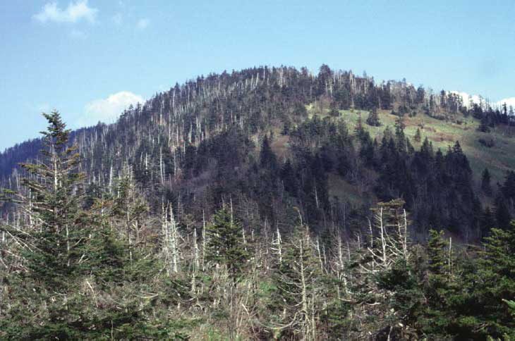
Big drawin town National ParkGreat Smoky Mountains National Park11.5M visitors a year
Big draw30 mi Theme parkDollywood3.1M visitors a year
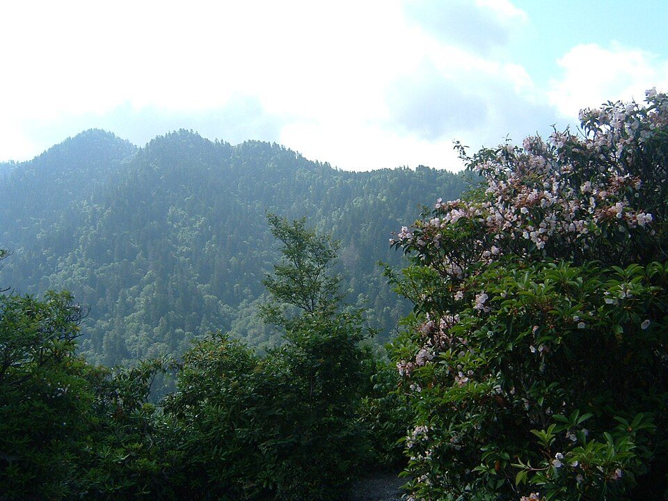
Big draw20 mi MountainKuwohi
Big draw37 mi Stadium & arenaNeyland Stadium
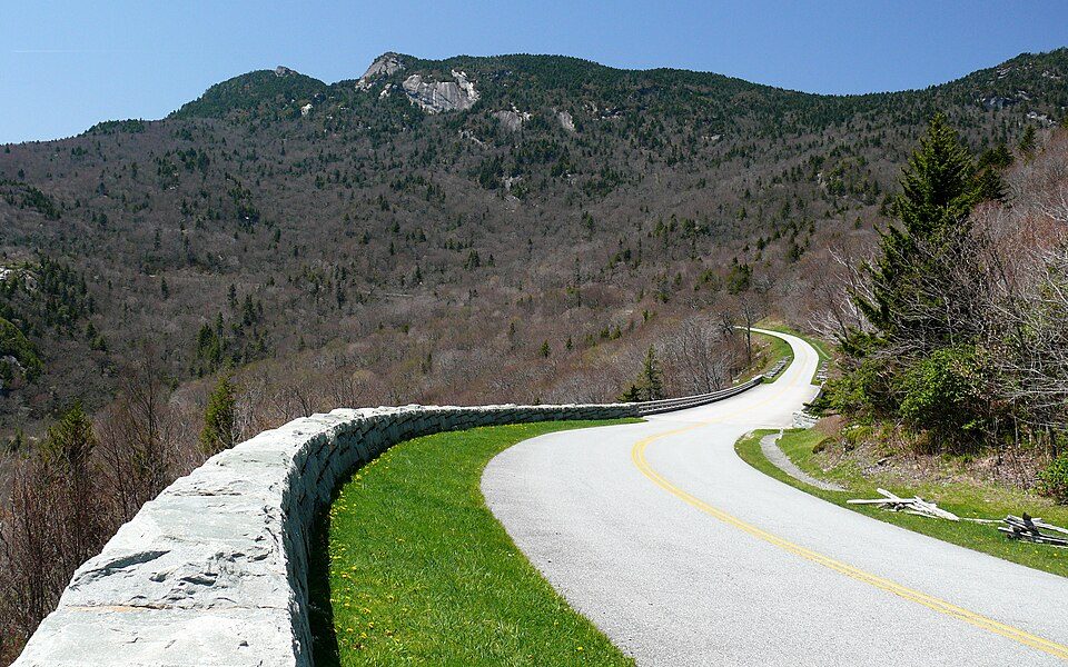
30 mi ParkwayBlue Ridge Parkway16.5M visitors a year
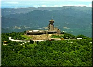
39 mi MountainBrasstown BaldGreat Smoky Mountains National Park: Scott Basford, CC BY-SA 3.0 · Dollywood: Brian Stansberry (photographer), CC BY 2.5 · Kuwohi: C. Kenneth Dodd, Jr., Public domain · Neyland Stadium: Neomrbungle, CC BY-SA 4.0 · Blue Ridge Parkway: Ken Thomas, Public domain · Brasstown Bald: Unknown, Public domain
Who provides power, water and the rest in Fontana Dam, and how to reach them.
EPA SDWIS (Oct 9, 2026) · HIFLD + EIA-861 2025 · Census 2020 ZCTAs · NCES 2024–25 · registration: vote.gov, updated Nov 18, 2024.
Ordered by what stands out in Fontana Dam.
Expected storm and flood damage is higher than in 72% of U.S. communities.
FEMA National Risk Index · OpenFEMA
Fontana Dam has chilly winters and warm summers, with plenty of rain. At 85°F, Fontana Dam’s July high is below the North Carolina town median (89°F) and near the median of U.S. towns (85°F).
NOAA U.S. Climate Normals, 1991–2020
29% of adults have been diagnosed with depression in Fontana Dam. Fontana Dam beats the North Carolina average on 3 of 32 CDC measures and trails it on 2. 10% of adults have diabetes in Fontana Dam.
| Fontana Dam | North Carolina towns | U.S. towns | |
|---|---|---|---|
| Depression (CDC PLACES) | 29% | 25% | 23% |
| Sleep under 7 hours (CDC PLACES) | 31% | 34% | 36% |
| Frequent mental distress (CDC PLACES) | 19% | 17% | 17% |
| Diabetes (CDC PLACES) | 10% | 13% | 12% |
| What stands out | Fontana Dam | NC |
|---|---|---|
| Fewer adults facing a utility shut-off | 5.7% | 8.1% |
| Fewer adults facing housing insecurity | 9.2% | 12.2% |
| More adults who have had cancer | 9.4% | 7.9% |
CDC PLACES 2025 · modeled estimates for adults · CMS · HRSA
| Biggest places to walk | Trails | Acres |
|---|---|---|
| 1. Nantahala National Forest | 0.4 mi | 18 |
Trails & parks © OpenStreetMap contributors · Conserved land: USGS PAD-US
None within 15 miles of Fontana Dam; the nearest are
Town in North Carolina, United States
Fontana Dam (also known as Fontana Village) is a town in Graham County, North Carolina, United States. Fontana Dam is located on North Carolina Highway 28 near the Fontana Dam and the Little Tennessee River. The town incorporated in 2011. As of the 2020 census, Fontana Dam had a population of 13.
From Wikipedia, licensed CC BY-SA 4.0 · facts via Wikidata (CC0)
Short answers, built from the data on this page.
Fontana Dam has fewer than 1,000 residents, too few for fair grades; the figures below are still real.