144 years in pictures
The archive holds 6 old photos and papers going back to 1909 and 4 maps from 1936 on.
2 places on the National Register of Historic Places.
- 1882Cherokee is settled
Each edition grades its towns against each other only.

A town of 2,059, settled in 1882.
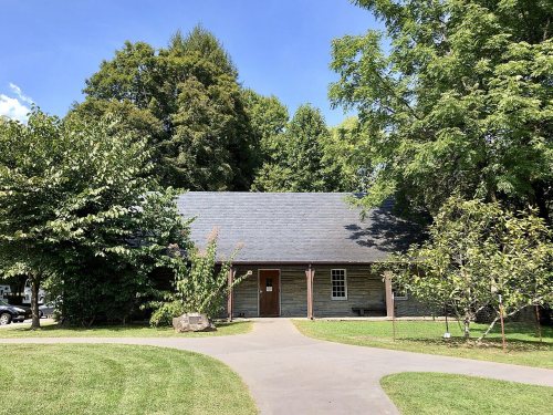
Cherokee’s best subject grades are a B+ for cost of living and walkability; its weakest is a D− for health. Cherokee’s average trip to work is 11 minutes, against 24 minutes in North Carolina’s towns and 25 minutes across U.S. towns. Only 13 of North Carolina’s 450 towns score lower on health. The median household income is $56K, and 21% of residents live below the poverty line. Cherokee has 2 places on the National Register of Historic Places, among them Oconaluftee Baptist Church and Oconaluftee Ranger Station. Cherokee has fewer than 2,500 residents, so it gets subject grades but no overall grade.
Where Cherokee beats most towns, and one thing worth knowing.
| Widest gap | Cherokee | NC |
|---|---|---|
| More older adults who have lost all their teeth | 34.2% | 13.9% |
Where Cherokee’s working residents go each day. Line width shows the share.
Census LEHD 2023
Each subject compared with towns across the country (schools within North Carolina), ordered by how far Cherokee is from typical.
How TownRatings grades towns →
The archive holds 6 old photos and papers going back to 1909 and 4 maps from 1936 on.
2 places on the National Register of Historic Places.
Museums, parks, gardens and other places to visit around Cherokee. Close and well known come first.
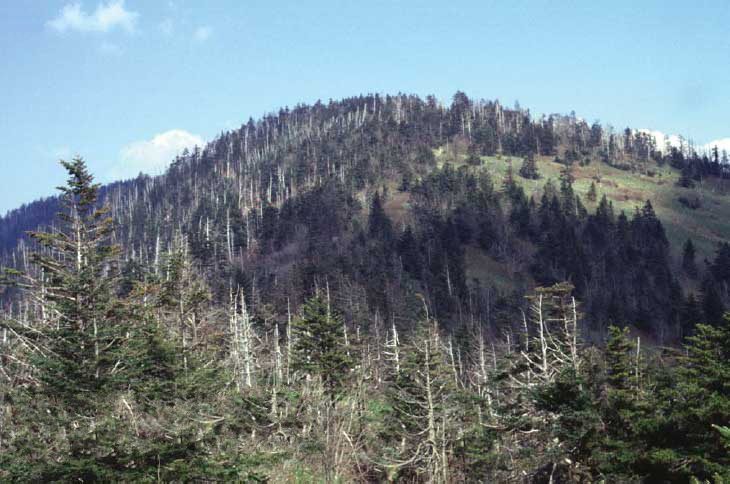
Big drawin town National ParkGreat Smoky Mountains National Park11.5M visitors a year
Big draw25 mi Theme parkDollywood3.1M visitors a year
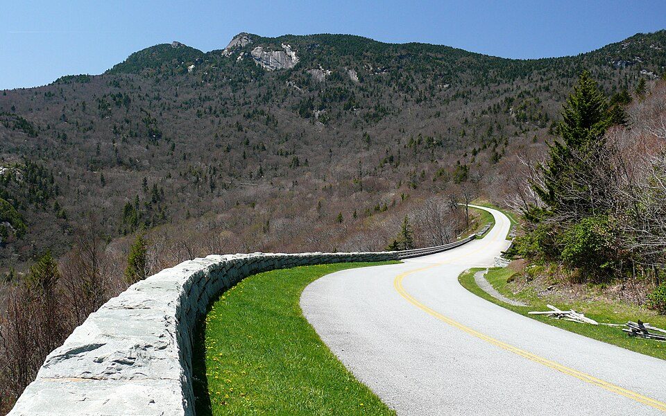
in town ParkwayBlue Ridge Parkway16.5M visitors a year
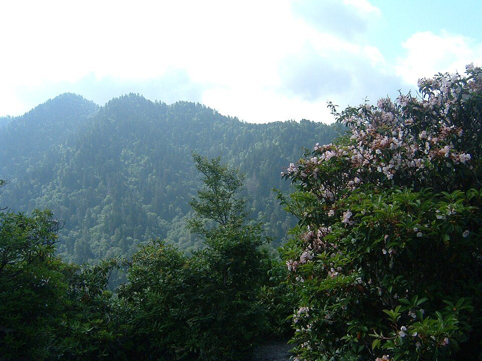
Big draw12 mi MountainKuwohi12 mi Theme parkGhost Town in the Sky
14 mi MountainMount Le ConteGreat Smoky Mountains National Park: Scott Basford, CC BY-SA 3.0 · Dollywood: Brian Stansberry (photographer), CC BY 2.5 · Blue Ridge Parkway: Ken Thomas, Public domain · Kuwohi: C. Kenneth Dodd, Jr., Public domain · Mount Le Conte: No machine-readable author provided. Blinutne assumed (based on copyright claims, CC BY-SA 3.0
Cherokee is unincorporated, so Jackson County and regional agencies provide most services.
EPA SDWIS (Oct 9, 2026) · HIFLD + EIA-861 2025 · Census 2020 ZCTAs · NCES 2024–25 · registration: vote.gov, updated Nov 18, 2024.
Ordered by what stands out in Cherokee.
In Cherokee, 31% of adults worry about having enough food, where North Carolina’s towns sit at 15% and U.S. towns at 14%. Among adults in the town, 32% get no exercise outside work. Only 5 of the 290 North Carolina towns we compare have a higher share of adults who report frequent mental distress than Cherokee. Also worth knowing: the town does better than the North Carolina average on 1 of 32 CDC measures and worse on 26.
| Cherokee | North Carolina towns | U.S. towns | |
|---|---|---|---|
| Smoke cigarettes (CDC PLACES) | 25% | 14% | 14% |
| Frequent physical distress (CDC PLACES) | 19% | 13% | 14% |
| Food insecurity (CDC PLACES) | 31% | 15% | 14% |
| Diabetes (CDC PLACES) | 18% | 13% | 12% |
| What stands out | Cherokee | NC |
|---|---|---|
| Fewer adults who have had cancer | 6.8% | 7.9% |
| More older adults who have lost all their teeth | 34.2% | 13.9% |
CDC PLACES 2025 · modeled estimates for adults · CMS · HRSA
| School | Level | Students | Letter |
|---|---|---|---|
| New Kituwah Academy PrivateLargest elementary schoolGrades PK–6 | Grades PK–6 | 102 | – |
NCES · EDFacts
About one in three of Cherokee’s working residents works in town. Jobs in Cherokee grew by 1,867 from 2013 to 2023, reaching 3,833. The median commute is under 3 miles. The top destinations are Bryson City (3%), Asheville (2%) and Sylva (2%).
| Cherokee | North Carolina towns | U.S. towns | |
|---|---|---|---|
| Working residents who work in town | 37% | 6.8% | 8% |
| Median household income | $56,000 | $69,000 | $80,000 |
Census LEHD 2023 · ACS
On expected storm and flood damage, Cherokee sits above 80% of U.S. communities. Of the losses FEMA expects in the town, 66% come from inland flooding and 18% from cold waves. Households here have drawn federal disaster aid in 2 declared disasters, most recently in 2024.
FEMA disaster declarations and aid · FEMA National Risk Index · OpenFEMA
NOAA U.S. Climate Normals, 1991–2020
Trails run 3.3 miles in 3 parks and preserves. Parks and preserves in Cherokee: 3, covering 26 acres. In Cherokee, the trail density is 0.3 miles per square mile.
| Cherokee | North Carolina towns | U.S. towns | |
|---|---|---|---|
| Conserved land | 0.5% | 3.4% | 4.3% |
| Miles of trail per square mile | 0.3 miles per square mile | 0.2 | 0.4 |
| Biggest places to walk | Trails | Acres |
|---|---|---|
| 1. Oconaluftee Park | 0.1 mi | 17 |
| 2. ᎠᏂᏣᎳᎩ ᎠᏂᏴᏫᏯ ᎤᎾᏓᎪᎾᏙᏗᏱ;Cherokee Indian Fair Grounds | — | 7 |
| 3. Acquoni Road Family Park | — | 2 |
Trails & parks © OpenStreetMap contributors · Conserved land: USGS PAD-US
2 within 15 miles of the center of Cherokee
About 7 of every 100 Cherokee residents are enrolled in college, about the same as North Carolina.
2 places in Cherokee on the National Register of Historic Places.
Short answers, built from the data on this page.
Not for the area. Cost of living, which also weighs rents, property taxes and how many households pay 30% or more of their income for housing, grades B+.