Charlotte dates to 1768, and 85 of its places are on the National Register
More historic than 78% of U.S. towns · #57 of 290 in North Carolina. What drives it
Most of Charlotte was built recently: 3% of its homes predate 1940 and the median home dates from 1995. 85 places in town are on the National Register, among them ten historic districts with 3,751 buildings between them. Below: 1 old photo or paper, maps from 1885 on, and the census since 1800.
Founding year: Wikidata; Wikipedia’s history section gives the same year. First post office: 1794.The full story ↓
History grade
What drives Charlotte’s History grade
On its age, its old homes and the National Register, Charlotte is more historic than 78% of U.S. towns, #57 of 290 in North Carolina. Its age holds the grade up; its share of homes from before 1940 pulls it down.
A−
HistoryA character grade: shown, never part of Charlotte’s overall grade.
Among the 400 U.S. cities of 100,000 or more, Charlotte ranks #132 on History.
North Carolina towns list more on the Register than most of the country (a typical North Carolina town has 12.5 per 10,000 residents, the U.S. 2.4), so Charlotte’s 42.5 sits above most of its state (68% of North Carolina towns have fewer) while its 3,843 historic buildings outnumber those of 100% of U.S. towns.
Newer cities are common at Charlotte’s size: in the typical U.S. city of 100,000 or more, 5% of homes predate 1940.
How sure. Graded on any two of the three inputs instead, the letter would range from B− to A+. The pre-1940 share (±0.2 points) is firm at this size. Two sources give 1768.
Founding year: Wikidata (other dates in Quick answers). Homes: Census ACS 2020–24. National Register: National Park Service, May 2026 list; each listing counted once (boundary changes and added documentation belong to their listing), and a historic district counts its contributing buildings. How TownRatings grades history →
What stands out about Charlotte’s past
Read from the archive, the National Register and the record. The page puts what stands out first.
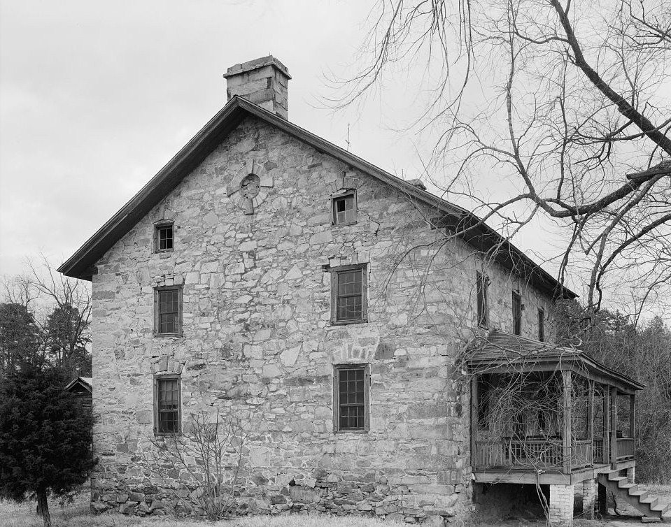
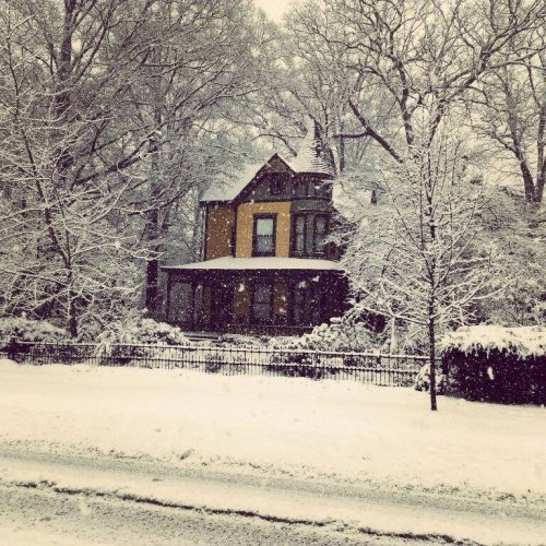
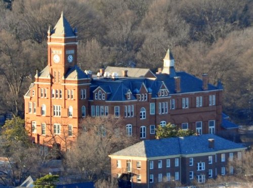
National Park Service, National Register of Historic Places. Photos from Wikimedia Commons, credited on each place’s page.
Places that used to be
Lost post offices, old corners, places now gone and burying grounds
Charlotte’s post office has been open since 1794. 26 other post offices opened and closed inside today’s town.
Charlotte
1794–today
Alexandriana
1804–1886
White Hall
1807–1868
Providence
1808–1869
Hickory Grove
1826–1845
Steele Creek
1828–1866
Ranaleburg
1834–1902
Sharon
1834–1866
Martindale
1836–1902
Steel Creek
1873–1902
17901910today
Hamlets and corners on the map
Allen HillsAmarillo ParkArlingtonAshley ParkAtando JunctionAutumnwoodBahama ParkBanalsburgBarclay DownsBelmontBeverly WoodsBeverly Woods EastBiddlevilleBishops RidgeBrandonBritish WoodsBrookfieldCandlewoodCarmelCarmel CommonsCarmel ParkCarmel WoodsCasa Linda EstatesCastleton Gardens
Gone or out of use
Brockenbrough AirportairportBrocker Health CenterhospitalCannon AirportairportCarolina Tractor and Equipment AirportairportCentral High SchoolschoolCentral Steele Creek Community HousebuildingCharlotte ColiseumlocaleCharlotte Naval Ammunition DepotmilitaryCharlotte Police Dept AirportairportClear Creek SchoolschoolCrittenden HomehospitalElizabeth CollegeschoolEnterprise AirportairportFirst Associate Reformed Presbyterian ChurchchurchFlying H Farm AirportairportGood Samaritan HospitalhospitalGraham SchoolschoolHoskins Schoolschool
43family graveyards and cemeteries inside Charlotte
Alexander SlaveBig Spring United MethodistCharlotte Memorial GardensDinkinsElmwoodEvergreenForest LawnHebrewJonahvilleLawing School RoadLogan ChapelMallard Creek ChurchMcClintock ChurchMcGeeMission ChurchMoores AME ZionMorning Glade ChurchMulberry PresbyterianMurkland ChurchNewell Presbyterian ChurchNorth PinewoodOak GroveOaklawnOld SettlersPinewoodPlaza Road Baptist ChurchProsperity ChurchProvidence ChurchRobinson ChurchSaint Marks ChurchSaint Pauls ChurchSardis Presbyterian ChurchSardis Presbyterian ChurchSardis SlaveSharon ChurchSharon Memorial ParkSteele Creek ChurchSugaw Creek Presbyterian Church Cemetery Number 1Thrift BaptistTorrence Grove AME Zion ChurchUnited House of PrayerWoodland United Presbyterian ChurchYork Memorial
See all 43
Alexander Slave Cemetery · Big Spring United Methodist Cemetery · Charlotte Memorial Gardens · Dinkins Cemetery · Elmwood Cemetery · Evergreen Cemetery · Forest Lawn Cemetery · Hebrew Cemetery · Jonahville Cemetery · Lawing School Road Cemetery · Logan Chapel Cemetery · Mallard Creek Church Cemetery · McClintock Church Cemetery · McGee Cemetery · Mission Church Cemetery · Moores AME Zion Cemetery · Morning Glade Church Cemetery · Mulberry Presbyterian Cemetery · Murkland Church Cemetery · Newell Presbyterian Church Cemetery · North Pinewood Cemetery · Oak Grove Cemetery · Oaklawn Cemetery · Old Settlers Cemetery · Pinewood Cemetery · Plaza Road Baptist Church Cemetery · Prosperity Church Cemetery · Providence Church Cemetery · Robinson Church Cemetery · Saint Marks Church Cemetery · Saint Pauls Church Cemetery · Sardis Presbyterian Church Cemetery · Sardis Presbyterian Church Cemetery · Sardis Slave Cemetery · Sharon Church Cemetery · Sharon Memorial Park · Steele Creek Church Cemetery · Sugaw Creek Presbyterian Church Cemetery Number 1 · Thrift Baptist Cemetery · Torrence Grove AME Zion Church Cemetery · United House of Prayer Cemetery · Woodland United Presbyterian Church Cemetery · York Memorial Cemetery
US Post Offices dataset (Blevins & Helbock, CC0). Places and cemeteries from the USGS Geographic Names Information System (2021).
The Catawba Indians are the earliest known inhabitants of the Charlotte area. They were first encountered in the region in 1567 by the Spanish Conquistador Juan Pardo.
The area that is now Charlotte was first settled by European colonists around 1755 when Thomas Spratt and his family settled near what is now the Elizabeth neighborhood. Thomas Polk (great-uncle of President James K. Polk), who later married Thomas Spratt's daughter, built his house by the intersection of two Native American trading paths between the Yadkin and Catawba rivers. One path ran north–south and was part of the Great Wagon Road; the second path ran east–west along what is now Trade Street.
Charlotte occupies a central location in the mining district of the Piedmont region, and since the latter part of the 18th centurj mining has been carried on in the neighboring localities with ofttimes much success. In 1835 tnc Charlotte Mint, a branch of the United States Mint at Philadelphia, was established, and in December. 1837. opened for business. Fifty thousand dollars was appropriated by the government for the site and building. ( In July 27.
Text read by machine from the scan; it may contain errors.
Dilworth and Latta Park are named in honor of the President of the Charlotte Consolidated Construction Company, Mr. Edward Dilworth Latta, a public-spirited citizen, whose broad ideas and progressiveness have clone much for the advancement of Charlotte.
Text read by machine from the scan; it may contain errors.
History of Mecklenburg County and the city of Charlotte1903 · page 9Read the page →
Read the text
(Charlotte Democrat, July 8, 1873.)* A highly intelligent gentleman, who has lived in Charlotte over fifty years, told us the other day that at a celebration in Charlotte on the 20th of May, 1835, he saw in procession seventy-five persons who were present when the Declaration was made on the 20th of May, 1775; and who testified that the meeting of the 31st of May was an adjourned one from the 20th.
Text read by machine from the scan; it may contain errors.
History of Mecklenburg County and the city of Charlotte1903Read the page →
Read the text
tory would be complete without some reference to the taverns which were kept in all parts of the country from the earliest days of its history. These institutions sprang up along all the public roads, and in the town of Charlotte after 1768. The number of persons always passing through this section to the South must have been considerable, even as early as 1760. The tavern was a place where such travelers could
Text read by machine from the scan; it may contain errors.
Scans and text from the Internet Archive. Books published in 1930 or earlier, which are in the public domain.
Timeline
Charlotte, 1768 to 1990
Woven from the archive, old maps, post office records, the National Register and the people born here.
Every edition of the U.S. Geological Survey’s map of Charlotte. Tap a year, or press play to watch the town change.
1905Charlotte sheet · 1:62,500
U.S. Geological Survey historical topographic maps (public domain), via Esri’s collection of the scans. The red ring marks the center of Charlotte.
Every building
Charlotte, building by building, 1885–1929
Fire insurance maps drew every building, what it was made of and what it was used for, so insurers could price the risk of fire. Pick a year, then a sheet.
In 1768, according to Wikidata and Wikipedia’s history of the town. Charlotte’s post office opened in 1794, and the census of 1800 counted 122 people here.
How does Charlotte rank for history?
Charlotte is more historic than 78% of U.S. towns, #57 of 290 in North Carolina. The History grade combines the town’s founding era, the share of homes built before 1940 and its National Register listings. It’s a character grade, so it isn’t part of the overall grade. How it works.
What is on the National Register in Charlotte?
85 listings: 71 buildings, among them the Hezekiah Alexander House (listed 1970, the first), 13 historic districts with 3,751 contributing buildings, and 1 site. 3,843 historic buildings in all.
How old are the homes in Charlotte?
3% of Charlotte’s homes were built before 1940 (Census estimate), against a typical 4.1% for a North Carolina town; the median home was built in 1995.
Founding dates: Wikidata, Wikipedia, the U.S. post office records of Blevins & Helbock (CC0) and the Census. Homes by year built: Census ACS 2020–24. National Register of Historic Places: National Park Service (list of May 22, 2026). Old photos, postcards and papers: Wikimedia Commons, the Library of Congress and other public archives, credited on each item’s page. Maps: U.S. Geological Survey historical topographic maps (via Esri) and Sanborn fire-insurance maps (Library of Congress). History text and census tables: Wikipedia (CC BY-SA 4.0). Places that used to be: USGS Geographic Names Information System (2021).
From Wikimedia Commons (1), Wikidata (4), the National Register of Historic Places (85), Wikipedia, Wikidata and Wikipedia for famous people, U.S. Geological Survey historical maps, U.S. Census counts (via Wikipedia), the US Post Offices dataset (Blevins & Helbock), the USGS Geographic Names Information System, Sanborn fire insurance maps (Library of Congress) and old county and town histories (Internet Archive). Archive images are copied here with their credits and licenses, shown on each photo’s page. Refreshed monthly.