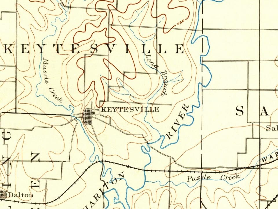
Every edition of the U.S. Geological Survey’s map of Keytesville Township. Tap a year, or press play to watch the town change.
1890Glasgow sheet · 1:125,000
U.S. Geological Survey historical topographic maps (public domain), via Esri’s collection of the scans. The red ring marks the center of Keytesville Township.
People over time
Keytesville Township, census by census
Peaked at 1,127 in 1900; 440 people lived here in 2020.
16 censuses, 1870–2020.
U.S. Census Bureau decennial counts, from the census table on Keytesville Township’s Wikipedia page.
The town is named for James Keyte, an Englishman and Methodist preacher who purchased a large parcel of land in 1830 and, two years later, donated fifty acres of it to Chariton County to establish a seat of county government. Until then, county business had been conducted from "Old Chariton," a village near the confluence of the Chariton and Missouri Rivers that was plagued by disease-spreading mosquitoes and subject to repeated flooding.
James Keyte constructed the first home in Keytesville, and the first business as well. Both were log structures, with the second doubling as a post office. Keyte also created the town's first industry when he constructed a mill near his home on Mussel Fork Creek.
Founding dates: Wikidata, Wikipedia, the U.S. post office records of Blevins & Helbock (CC0) and the Census. Homes by year built: Census ACS 2020–24. National Register of Historic Places: National Park Service (list of May 22, 2026). Old photos, postcards and papers: Wikimedia Commons, the Library of Congress and other public archives, credited on each item’s page. Maps: U.S. Geological Survey historical topographic maps (via Esri) and Sanborn fire-insurance maps (Library of Congress). History text and census tables: Wikipedia (CC BY-SA 4.0). Places that used to be: USGS Geographic Names Information System (2021). How TownRatings grades history →
From Wikimedia Commons (6), Wikipedia, U.S. Geological Survey historical maps, U.S. Census counts (via Wikipedia), the US Post Offices dataset (Blevins & Helbock) and the USGS Geographic Names Information System. Archive images are copied here with their credits and licenses, shown on each photo’s page. Refreshed monthly.




 c. 1865
 2012
 2012
 2012
 2012