More than half of Bennett Springs’ land is conserved: 53%
53% of Bennett Springs’ land is conserved, about 1,409 acres. The biggest trail networks: Bennett Spring State Park (4.5 mi). 1,250 acres are parks and preserves, 9,262 per 1,000 residents.
Conserved land
53%
1,409 acres · of 4.2 sq mi of land
Trails
5.1 mi
1.2 per sq mi of land
Park land
1,250 ac
9,262 acres per 1,000 residents
Near a park
99%+
of residents within ½ mile
Lakes & rivers
2
1 beach · 6 boat launches
The map
Conserved land, trails & bike routes
Tap a number to zoom to a park. Tap a layer to hide it.
53% of Bennett Springs’ land. Who manages Bennett Springs’s conserved land, from the USGS Protected Areas Database. Approximate, because parcels can overlap.
Not recorded1,409 ac
State Other or Unknown · 857 acState Park · 547 acState Conservation Area · 5 ac
The biggest protected parcels
Parcel (PAD-US)
Managed by
Acres
Public access
Bennett Spring Fish Hatchery
State Other or Unknown
Not recorded
857
Restricted
Bennett Spring State Park
State Park
Not recorded
547
Open
Bennett Spring Hanging Fen Natural Area
State Conservation Area
Not recorded
5
Restricted
Things to do
22 places to go in Bennett Springs
Beaches, playgrounds, peaks, falls and more. Pick a kind.
Beaches in Bennett Springs
1 beach without a name on the map. Tap “Show all on map” to see it.
Public pools in Bennett Springs
Bennett Spring State Park Swimming PoolIn Bennett Spring State Park
NOAA’s 1991–2020 normals for the town and the daylight at its latitude. Outlined months have long days, highs of 59 to 86 °F and little rain for the place.
Jan
Feb
Mar
Apr
May
Jun
Jul
Aug
Sep
Oct
Nov
Dec
Daylight (h)
9.8
10.7
11.8
13.1
14.2
14.8
14.5
13.6
12.4
11.1
10.1
9.6
High (°F)
43
48
58
68
76
84
89
88
80
69
57
46
Rain (in)
2.3
2.3
3.3
4.7
5.5
4.3
4.3
3.9
4.0
3.4
3.4
2.4
February is the driest month (2.3 in) and July the warmest (highs of 89 °F). 5.5 inches fall in May, the wettest month. Summer highs reach 89 °F, too hot for the outline. The climate in Bennett Springs →
Questions about parks and trails in Bennett Springs
Where can I hike in Bennett Springs?
The longest trail networks: Bennett Spring State Park, 4.5 miles; Bennett Spring Access, 0.4 miles. Each one is on the map above, with directions to the nearest trailhead or parking.
Are dogs allowed on Bennett Springs’ trails?
Bennett Spring State Park and Bennett Spring Access don’t have dog rules recorded on the map; check the signs at the trailhead.
Is there public land near Bennett Springs?
4,149 acres of parks and open public land lie inside Bennett Springs or within 10 miles of it (PAD-US), 1,250 of them inside the town line.
Trail talk
Conditions, parking and favorite walks from Bennett Springs neighbors.
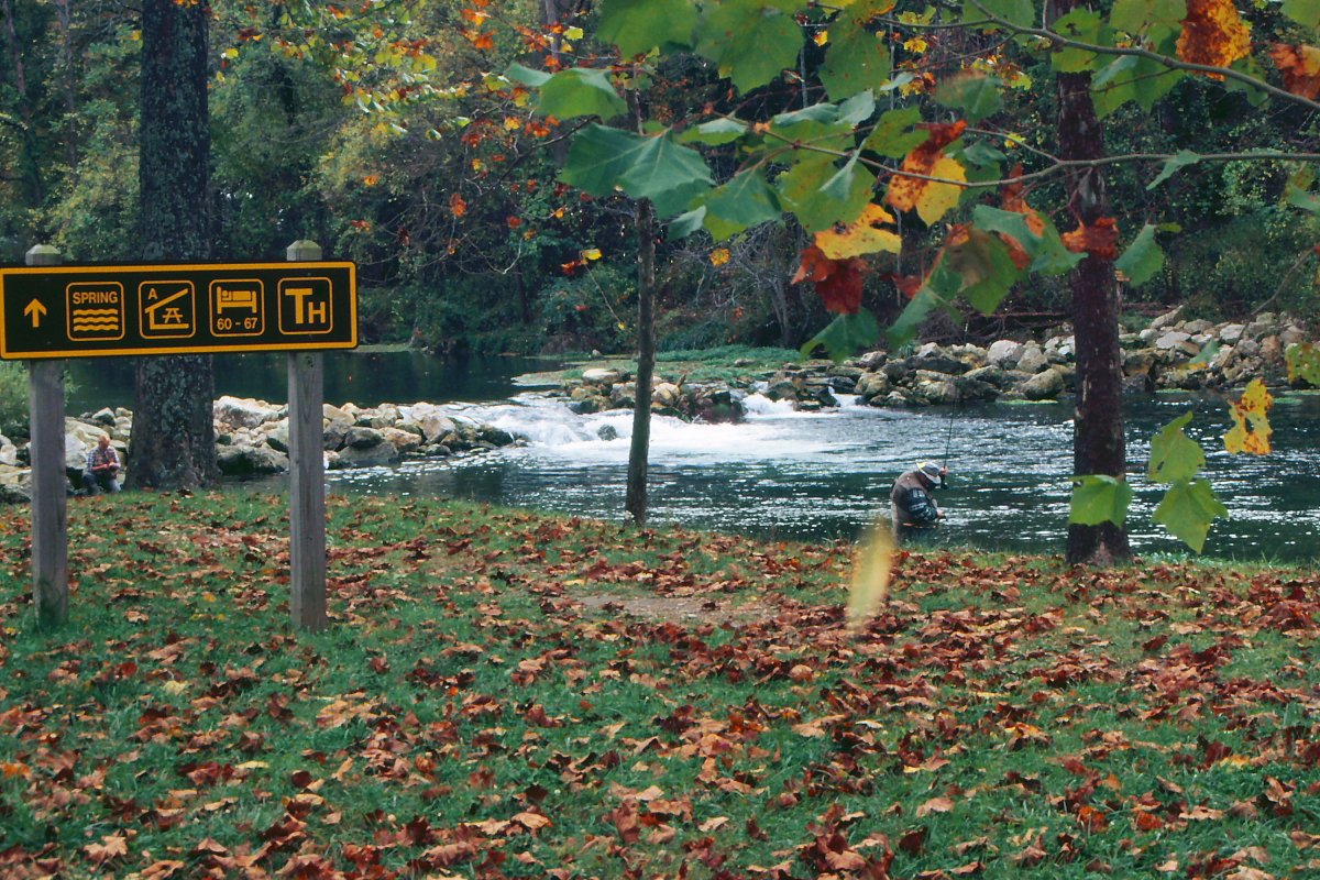 Photo: rjones0856 · CC BY 2.0