Guest, Sign inJoin

Post to Bennett Springs

We’ll email a one-tap link to publish your post. No password, and nothing is public until you click it.
Already a member? Sign in
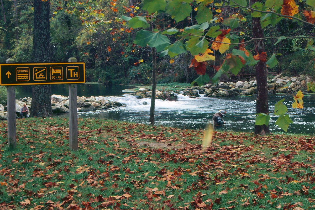
Bennett Spring SP 1-by rjones0
Missouri›Dallas County

Bennett SpringsMO

135 people live in this town, settled in 1939.

Photo: rjones0856 · CC BY 2.0
Photo of Bennett Springs

Bennett Springs, MO · Photo: rjones0856 · CC BY 2.0 · Source ↗

Is Bennett Springs a good place to live?

100% of households are owner-occupiers in Bennett Springs, above both Missouri’s towns (64%) and U.S. towns (73%). 52% of the land in Bennett Springs is conserved, against 2.1% in Missouri’s towns and 4.3% across U.S. towns. The biggest place to walk is Bennett Spring State Park, 1,191 acres with 4.5 miles of trail. Bennett Springs has fewer than 1,000 residents, too few for fair grades; the figures below are still real.

Bennett Spring State Park Shelter House and Water Gauge Station
Bennett Spring State Park Shelter House and Water Gauge Station · National Register of Historic Places
Bennett Springs’s story

87 years in pictures

The archive holds 3 maps from 1939 on.

2 places on the National Register of Historic Places.

  • 1939Bennett Springs is settled
Explore the history →
Small town

135 people, and everyone knows the way

In a town this size, neighbors are the best guide. Ask them anything.

Nearby towns

The data

Ordered by what stands out in Bennett Springs.

Outdoors

nearly a third of the land in Bennett Springs is protected from building

52.2%conserved

Count the trails in 2 parks and preserves and they come to 5.1 miles. The density of trails in Bennett Springs is 1.2 miles per square mile.

52.2%
conserved · 1,409 of 2,698 acres
5.1 mi
of trails · 1.2 per sq mi
Biggest places to walkTrailsAcres
1. Bennett Spring State Park4.5 mi1,191
2. Bennett Spring Access0.4 mi170

Trails & parks © OpenStreetMap contributors · Conserved land: USGS PAD-US

Natural hazards

Natural hazards: high risk in Bennett Springs, mostly inland flooding

68risk score of 100

In Bennett Springs, the FEMA hazard score is 68 of 100. 38% of the town’s expected losses from natural hazards come from inland flooding, followed by cold waves at 24%.

FEMA risk score
68High riskLowerHigher
Inland floodingCold wavesIce storms

FEMA National Risk Index · OpenFEMA

Climate

Four seasons and hot summers: that is Bennett Springs’ year

8″snow a winter

For Bennett Springs, the peak summer temperature is 89°F.

Typical low → high °F

Winter25–46°
Spring44–67°
Summer65–87°
Fall45–69°
Oct 21
typical first frost
Apr 17
typical last frost
+0.6°
vs. the 20th-century average

NOAA U.S. Climate Normals, 1991–2020

Health

Bennett Springs stands out in Missouri and nationally: a larger share of its adults report frequent physical distress

The share of adults in Bennett Springs who say their health is fair or poor: 31%. On the CDC’s 32 measures, Bennett Springs is ahead of Missouri on 3 and behind on 16. Among 248 Missouri towns, just 5 have a higher share of adults who have diabetes than Bennett Springs.

Bennett SpringsMissouri townsU.S. towns
Diabetes (CDC PLACES)20%12%12%
Frequent physical distress (CDC PLACES)20%15%14%
High blood pressure (CDC PLACES)50%37%35%
Get no exercise (CDC PLACES)40%30%25%
32 measures vs. Missouri
3 better13 too close to call16 worse
What stands outBennett SpringsMO
Fewer binge drinkers12.2%16.3%
More adults screened for colon cancer70.5%64%
More adults with heart disease13.9%6.8%
Mercy Hospital Lebanon
12.6 mi away · emergency room
3 of 3
care shortages: primary care, dental, mental health

CDC PLACES 2025 · modeled estimates for adults · CMS · HRSA

Keep exploring

Everything we know about Bennett Springs

15pages on Bennett Springs
Getting set up

Moving to Bennett Springs: who provides what

Bennett Springs is unincorporated, so Dallas County and regional agencies provide most services.

PowerLaclede Electric Coop12.4¢/kWh · EIA 2025HIFLD · EIA
WaterLaclede County Pwsd 1No health-based violations in 5 years · EPAEPA
InternetProviders and speedsData pending · D4
Trash & county servicesDallas CountyDallas County provides services here
SchoolsDallas County R-I School DistrictWhich school depends on your addressNCES
Register to voteOnlineIn Missouri you can register online until 27 days before Election Day, in person until 27 days before Election Day, or by mail (postmarked 27 days before).vote.gov
Who runs elections hereLacledeLaclede County; contacts on the Handbook page.FVAP, Sep 2017
ZIP code6553665536 100%Census 2020

EPA SDWIS (Oct 9, 2026) · HIFLD + EIA-861 2025 · Census 2020 ZCTAs · NCES 2024–25 · registration: vote.gov, updated Nov 18, 2024.
After high school

Colleges nearby

None within 15 miles of Bennett Springs; the nearest are

About Bennett Springs

Census-designated place in Missouri, United States

Bennett Spring is an unincorporated community and census-designated place (CDP) in Dallas and Laclede counties, Missouri, United States. As of the 2020 census, Bennett Spring had a population of 138. It lies 12 miles (19 km) west of Lebanon on Missouri Route 64. The community is named after a spring that is reported variously as the third or fourth largest in the state, with an average daily flow of about one hundred million gallons, and which is the centerpiece of Bennett Spring State Park. The community is located adjacent to the confluence of Bennett Spring Branch with the Niangua River, a north-flowing tributary of Lake of the Ozarks and part of the Osage River watershed, which flows no…

From Wikipedia, licensed CC BY-SA 4.0 · facts via Wikidata (CC0)

Area
4.2 sq mi
Elevation
878 ft

Questions about Bennett Springs

Short answers, built from the data on this page.

Is Bennett Springs, MO a good place to live?

Bennett Springs has fewer than 1,000 residents, too few for fair grades; the figures below are still real.

Bennett Springs is in here

Say something about Bennett Springs.

Ask a question, answer one, post a photo or an event. Free, and the parts only a neighbor would know are the parts worth reading.

Post to Bennett Springs’ town square →