
Lutsen Mountains, 2001
Lutsen Township’s story
136 years in pictures
The archive holds 6 old photos and papers going back to 2001.
- 1890Lutsen Township is settled
Each edition grades its towns against each other only.

A town of 536, settled in 1890.
36% of residents are 65 or older in Lutsen Township, above both Minnesota’s towns (18%) and U.S. towns (18%). No town among the 275 in Minnesota we compare has a lower July high than Lutsen Township. 78% of the land in Lutsen Township is conserved, where Minnesota’s towns sit at 4.7% and U.S. towns at 4.3%. Superior National Forest, at 45,201 acres with 67.4 miles of trail, is the biggest park or preserve. Lutsen Township has fewer than 1,000 residents, too few for fair grades; the figures below are still real.
In a town this size, neighbors are the best guide. Ask them anything.
The archive holds 6 old photos and papers going back to 2001.
Who provides power, water and the rest in Lutsen Township, and how to reach them.
EPA SDWIS (Oct 9, 2026) · HIFLD + EIA-861 2025 · Census 2020 ZCTAs · NCES 2024–25 · registration: vote.gov, updated Nov 18, 2024.
Ordered by what stands out in Lutsen Township.
116 miles of trail in 4 parks and preserves. Lutsen Township’s trail density is 1.1 miles per square mile.
| Biggest places to walk | Trails | Acres |
|---|---|---|
| 1. Superior National Forest | 67.4 mi | 45,201 |
| 2. Lutsen SNA | 2.6 mi | 703 |
| 3. Pat Bayle State Forest | 1.6 mi | 4,061 |
Trails & parks © OpenStreetMap contributors · Conserved land: USGS PAD-US
The typical Lutsen Township home is worth about $512,000, up 3.7% in a year, 47% above the Minnesota typical home. 83% of Lutsen Township households own their home.
Census ACS, 2020–24 · Zillow Home Value Index · Redfin Data Center
Expected storm and flood damage is lower than in 70% of U.S. communities.
FEMA National Risk Index · OpenFEMA
Lutsen Township has cold winters and cool summers. The January low in Lutsen Township is -1°F.
NOAA U.S. Climate Normals, 1991–2020
Most working residents leave Lutsen Township for work: only 14% work in town. Jobs based in Lutsen Township fell to 320 in 2023, 137 fewer than in 2013. 5.5% of residents live below the poverty line in Lutsen Township.
| Lutsen Township | Minnesota towns | U.S. towns | |
|---|---|---|---|
| Working residents who work in town | 14% | 9.8% | 8% |
| Below the poverty line | 5.5% | 7% | 9.6% |
| Average trip to work | 24 minutes | 23 minutes | 25 minutes |
Census LEHD 2023 · ACS
Only 4 of the 272 Minnesota towns we compare have a lower share of adults who feel lonely than Lutsen Township. Lutsen Township beats the Minnesota average on 11 of 32 CDC measures and trails it on 8. Among 272 Minnesota towns, just 2 have a higher share of adults who have high blood pressure than Lutsen Township.
| Lutsen Township | Minnesota towns | U.S. towns | |
|---|---|---|---|
| Feel lonely (CDC PLACES) | 27% | 30% | 33% |
| Frequent mental distress (CDC PLACES) | 13% | 16% | 17% |
| Sleep under 7 hours (CDC PLACES) | 28% | 30% | 36% |
| High blood pressure (CDC PLACES) | 39% | 31% | 35% |
| What stands out | Lutsen Township | MN |
|---|---|---|
| Fewer older adults who have lost all their teeth | 6.4% | 8.9% |
| Fewer adults facing housing insecurity | 6.8% | 9.3% |
| More adults with heart disease | 8.8% | 5.9% |
CDC PLACES 2025 · modeled estimates for adults · CMS · HRSA
Museums, parks, gardens and other places to visit around Lutsen Township. Close and well known come first.
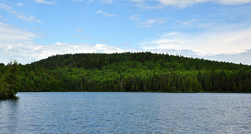 10 mi MountainEagle Mountain
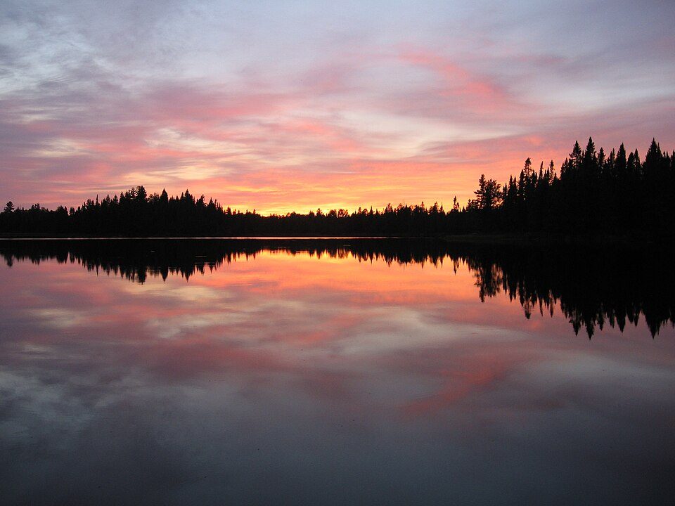 23 mi Park & preserveBoundary Waters Canoe Area Wilderness
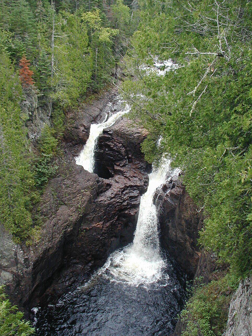 30 mi State parkJudge C. R. Magney State Parkin town Ski areaLutsen Mountains76 runs · 787 ft vertical
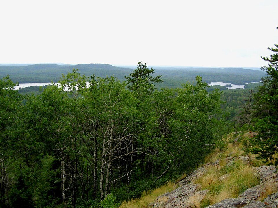 38 mi National forestSuperior National Forest
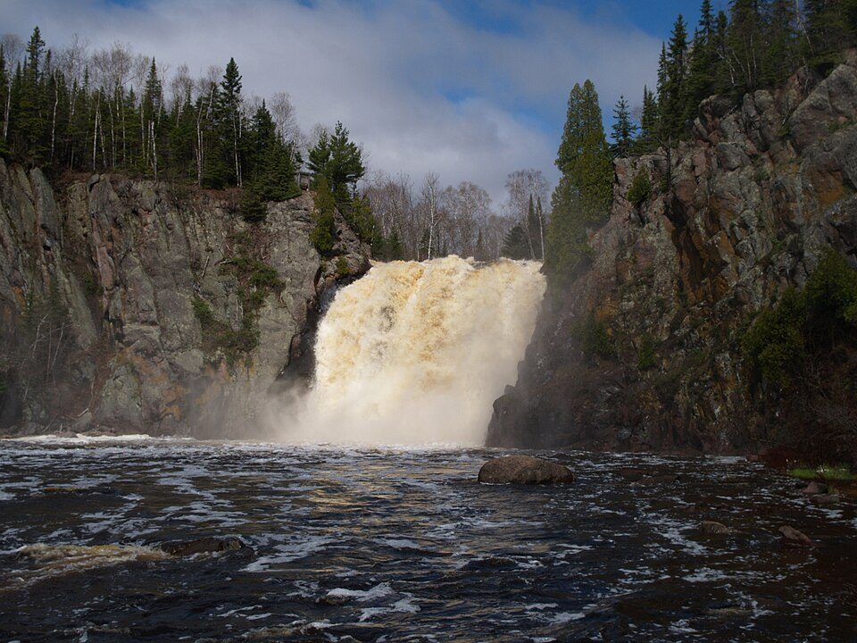 39 mi State parkTettegouche State Park
Eagle Mountain: Skye Marthaler, CC BY-SA 3.0 · Boundary Waters Canoe Area Wilderness: R27182818 at English Wikipedia (Original text: Reid Priedhorsky (R27182818)), CC BY-SA 3.0 · Judge C. R. Magney State Park: Chris857, CC BY-SA 3.0 · Superior National Forest: No machine-readable author provided. MisterSquirrel~commonswiki assumed (based o, Public domain · Tettegouche State Park: Desertson67 at English Wikipedia, CC BY-SA 3.0
None within 15 miles of Lutsen Township; the nearest are
About 0 of every 100 Lutsen Township residents are enrolled in college, against 6 across Minnesota.
77.8% of the town is conserved land, across 4 parks and preserves.
Unincorporated community in Minnesota, US
Lutsen ( LOOT-sən) is an unincorporated community and census-designated place (CDP) in Lutsen Township, Cook County, Minnesota, United States. As of the 2020 census, its population was 220. Lutsen is located within the Superior National Forest, on the North Shore of Lake Superior. It is 18 miles southwest of the city of Grand Marais; and 65 miles northeast of the city of Two Harbors. Cascade River State Park and the Superior Hiking Trail are both nearby. Minnesota Highway 61, formerly part of U.S. Route 61, is the main arterial route in the community. It runs along Lake Superior between Duluth and Grand Portage to the Canadian border.
From Wikipedia, licensed CC BY-SA 4.0 · facts via Wikidata (CC0)
Short answers, built from the data on this page.
Lutsen Township has fewer than 1,000 residents, too few for fair grades; the figures below are still real.


