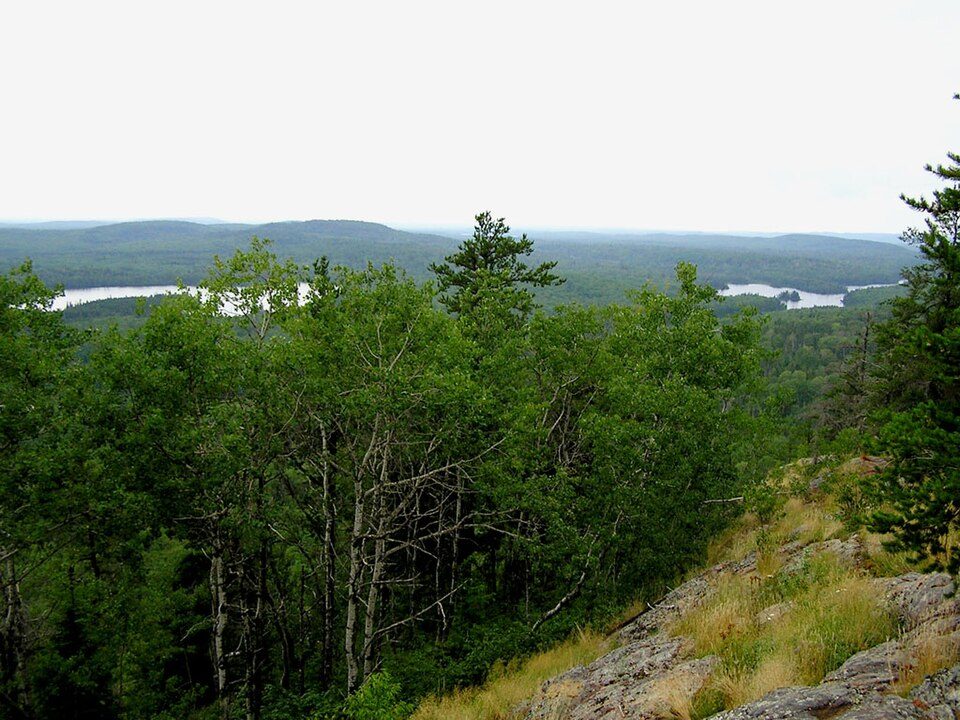
Superior National Forest
The Superior National Forest, part of the United States national forest system, is located in the Arrowhead Region of the state of Minnesota between the Canada–United States border and the north shore of Lake Superior.

A national forest inside Stony River Township
Winters are cold
January nights drop to -4°. When to go ↓
You can stay in Stony River Township
Superior National Forest is inside Stony River Township, which has 7 places to stay, so you won’t need a base farther out. Where to stay ↓
Best months: Jun, Jul, Aug and Sep
June, July, August and September are the mild months, with highs of 65–76°. When to go ↓
Written from NOAA 1991–2020 normals, Overture places to stay, Census town figures, Wikidata and Wikipedia.
Weather, month by month
Typical highs and lows in Stony River Township. Green months are the mild ones.
Superior National Forest
The Superior National Forest, part of the United States national forest system, is located in the Arrowhead Region of the state of Minnesota between the Canada–United States border and the north shore of Lake Superior. The area is part of the greater Boundary Waters region along the border of Minnesota and the Canadian province of Ontario, a historic and important thoroughfare in the fur trading and exploring days of New France and British North America.
- Type
- National forest
- Elevation
- 1,529 ft
- Run by
- United States Forest Service
- Wikipedia readers
- 9.1K a year
Where to stay near Superior National Forest
The closest towns with hotels, motels or campgrounds are Stony River Township (7) and Fall Lake Township (23).
Fall Lake Township
639 people · 71% vacation homes
12 mi northeast of Superior National Forest
Compare 8 towns
| Town | From Superior National Forest | Drive | Places to stay | People | Typical home | Safety |
|---|---|---|---|---|---|---|
| Stony River Township 74% vacation homes | in town | — | 7 5 lodges & cabins · 2 campgrounds | 176 | $213K | — |
| Fall Lake Township 71% vacation homes | 12 mi northeast | 20 min | 23 5 hotels · 1 inn or B&B · 10 lodges & cabins · 7 campgrounds | 639 | $431K | — |
| Ely | 16 mi west | 25 min | 14 3 hotels · 3 motels · 2 inns & B&Bs · 2 lodges & cabins · 4 campgrounds | 3,231 | $157K | B |
| Morse Township 46% vacation homes | 21 mi west | 30 min | 15 4 hotels · 9 lodges & cabins · 2 campgrounds | 1,178 | $300K | — |
| Crystal Bay Township 29% vacation homes | 21 mi southeast | 30 min | 3 1 lodge or cabins · 2 campgrounds | 450 | $221K | — |
| Babbitt | 23 mi southwest | 35 min | 3 1 hotel · 1 inn or B&B · 1 RV park | 1,363 | $102K | B+ |
| Schroeder Township 54% vacation homes | 28 mi east | 40 min | 4 1 motel · 1 lodge or cabins · 2 campgrounds | 177 | $406K | — |
| Eagles Nest Township 64% vacation homes | 27 mi west | 40 min | 2 2 lodges & cabins | 223 | $400K | — |
Getting there
Nearest airports with airline service
Also near Superior National Forest
Other well-known places within 69 miles. Numbered ones are on the map above.
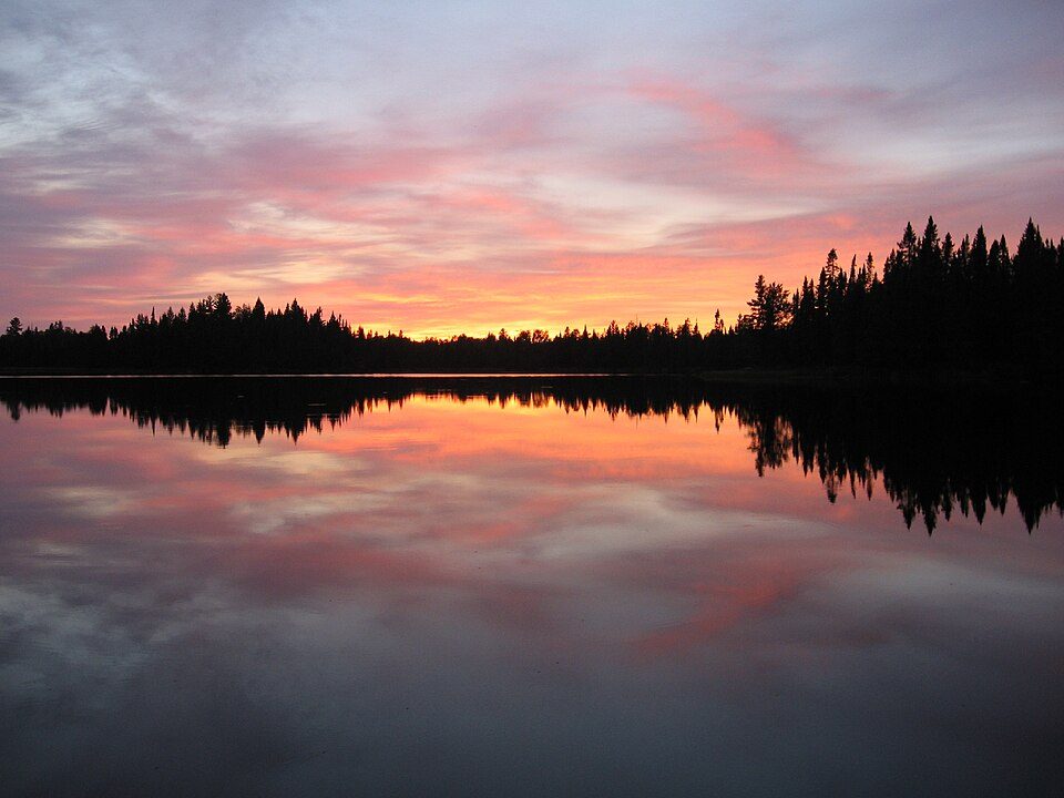 115 mi Park & preserveBoundary Waters Canoe Area Wilderness
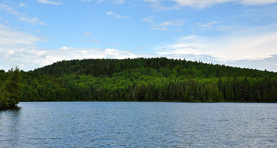 45 mi MountainEagle Mountain
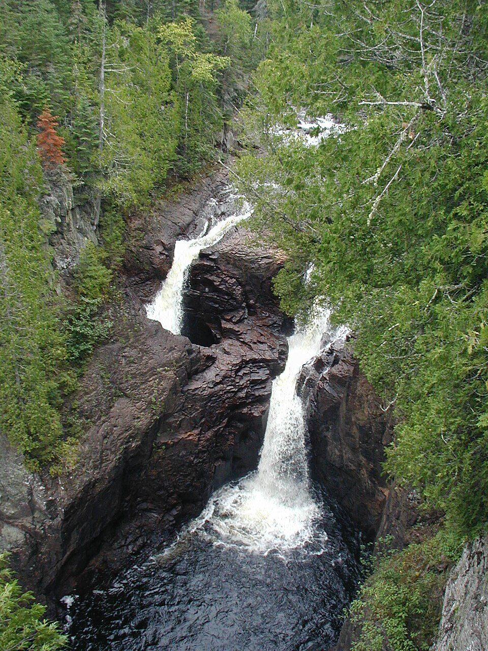 68 mi State parkJudge C. R. Magney State Park
 44 mi LighthouseSplit Rock Lighthouse
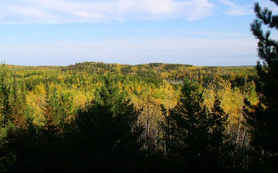 33 mi State parkLake Vermilion-Soudan Underground Mine State Park
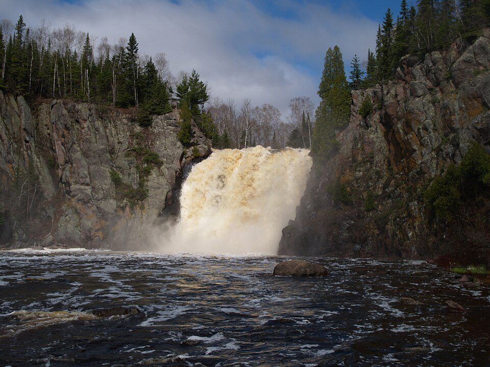 37 mi State parkTettegouche State Park
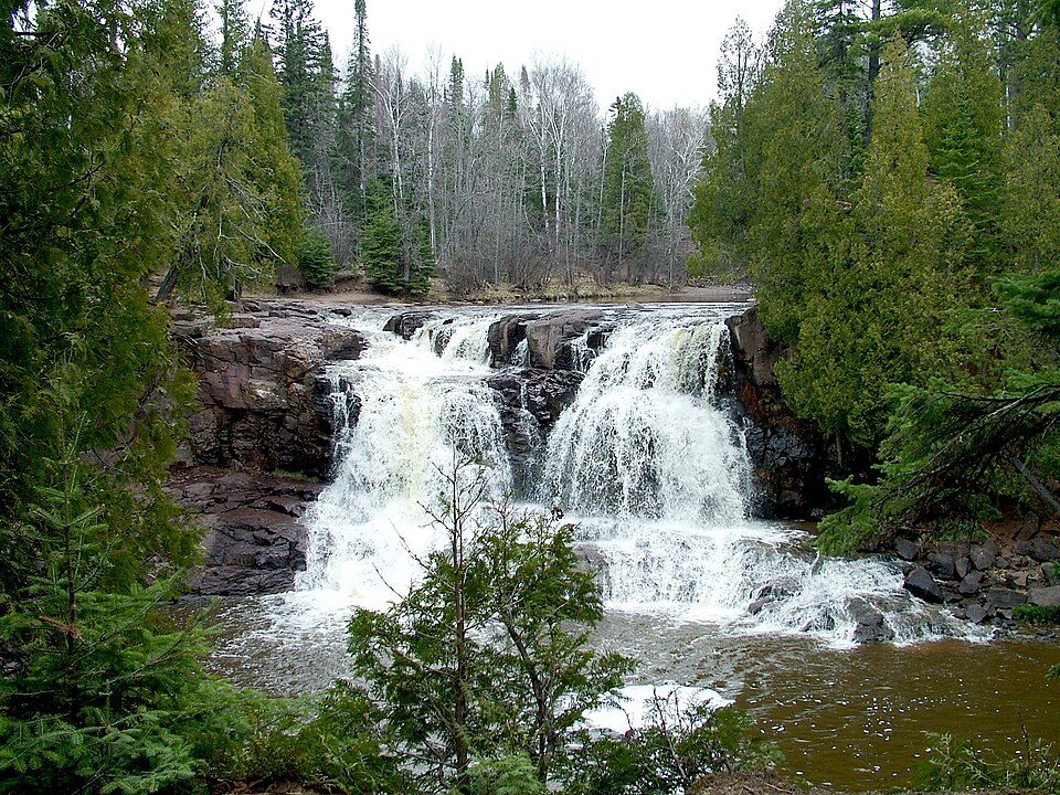 47 mi State parkGooseberry Falls State Park39 mi Ski areaLutsen Mountains76 runs · 787 ft vertical
Photo credits
Boundary Waters Canoe Area Wilderness: R27182818 at English Wikipedia (Original text: Reid Priedhorsky (R27182818)), CC BY-SA 3.0 · Eagle Mountain: Skye Marthaler, CC BY-SA 3.0 · Judge C. R. Magney State Park: Chris857, CC BY-SA 3.0 · Split Rock Lighthouse: Jim Sorbie, CC BY 2.0 · Lake Vermilion-Soudan Underground Mine State Park: McGhiever, CC BY-SA 3.0 · Tettegouche State Park: Desertson67 at English Wikipedia, CC BY-SA 3.0 · Gooseberry Falls State Park: Chuck Kochmann, Copyrighted free use


Visiting Superior National Forest
Is Superior National Forest in Stony River Township?
Yes. It’s inside Stony River Township, MN.
When is the best time to visit Superior National Forest?
June, July, August and September, with highs of 65–76°.
What is the closest airport to Superior National Forest?
Range Regional (HIB), about 68 miles away. The nearest big hub is Minneapolis–Saint Paul International Airport / Wold–Chamberlain Field (MSP), about 219 miles.
Where should I stay near Superior National Forest?
Fall Lake Township (12 mi, 23 places to stay), Stony River Township (in town, 7 places to stay) and Ely (16 mi, 14 places to stay).
Tips from people in Stony River Township
No tips yet. Ask, or answer, in Stony River Township’s Town Square.
Sources: National Park Service · ski areas © OpenSkiMap / OpenStreetMap contributors · Wikidata · Wikipedia readership · NOAA climate normals · U.S. Census.