 1
Soo Locks
Dam in Sault Ste. Marie, Chippewa County, United States of America.
Each edition grades its towns against each other only.

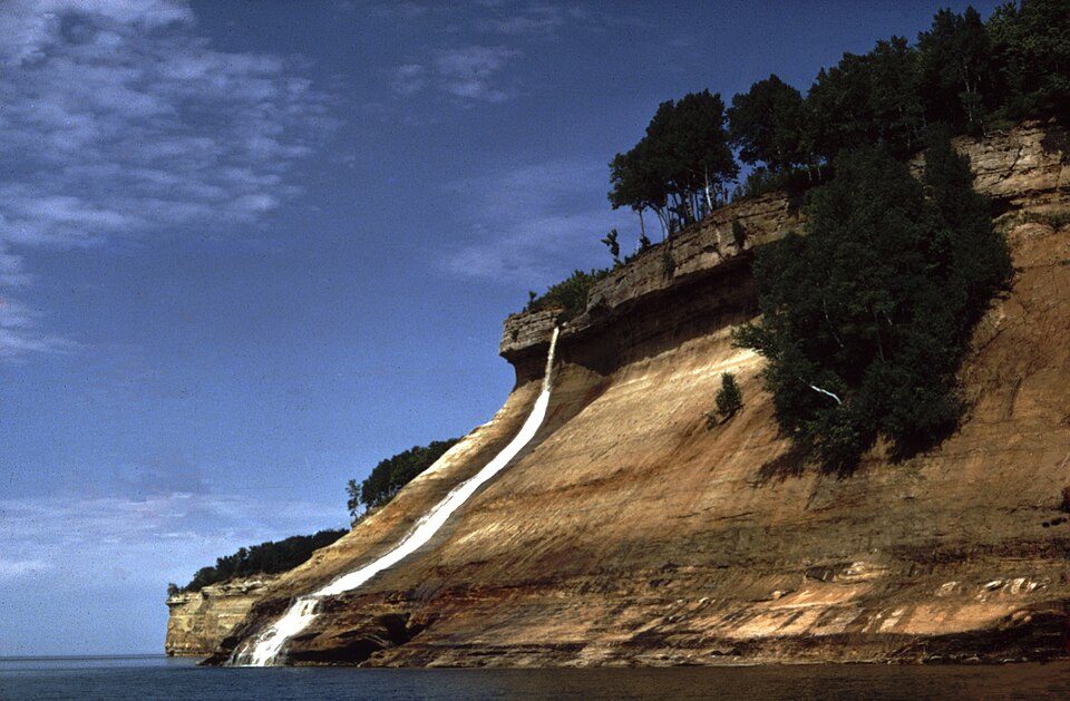
Pictured Rocks National Lakeshore draws about 934K visitors a year. Our list finds nothing inside Garfield Township, but 3 places within 40 miles. Among them are a national lakeshore, a waterfall and a zoo & aquarium. Allow a day for Soo Locks, 59 mi off.
Lake system.
The towns around it, and where to stay →
Pictured Rocks National Lakeshore, 39 mi away, is the farthest on the map.
Orange: Garfield Township. Numbers: the best-known places, matching the list below. © OpenStreetMap contributors
You will find all 16 within 60 miles.
Dam in Sault Ste. Marie, Chippewa County, United States of America.
U.S. National Lakeshore on Lake Superior.
Two waterfalls in the Upper Peninsula of Michigan, United States.
Former national park in Michigan, United States of America.
Observation tower and museum in Sault Ste. Marie, Michigan, USA.
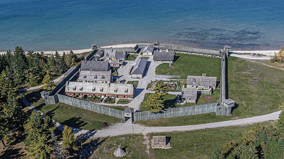
Mackinac Island, Michigan, NRHP-listed in Mackinac County.
Ranked by how many people look them up, so the famous places lead and the local favorites follow.
Parks and trails in Garfield Township → · Garfield Township’s history →
Soo Locks: USGS, Public domain · Lake Michigan–Huron: ChongDae, Public domain · Pictured Rocks National Lakeshore: National Park Service, Public domain · Tahquamenon Falls: Bobak Ha'Eri, CC BY 3.0 · Fort Michilimackinac: WMrapids, CC BY-SA 4.0 · Fort Mackinac: P. Hughes, CC BY 4.0 · Great Lakes Shipwreck Museum: Doug Coldwell, CC BY-SA 4.0 · Hiawatha National Forest: © 2004 Matthew Trump, CC BY-SA 3.0 · Whitefish Point Light: Browermd, CC BY-SA 3.0 · SS Valley Camp: Cason at English Wikipedia, Public domain · St. Ignace Mission: Andrew Jameson, CC BY-SA 3.0 · Tower of History: P199, CC BY-SA 3.0 · Mackinac Art Museum: Royalbroil, CC BY-SA 3.0 · Robert Stuart House: Royalbroil, CC BY-SA 3.0
 3
 4
 5
 7
 8
 9
 10
 11
 12
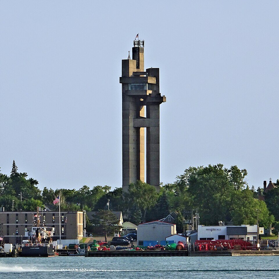 13
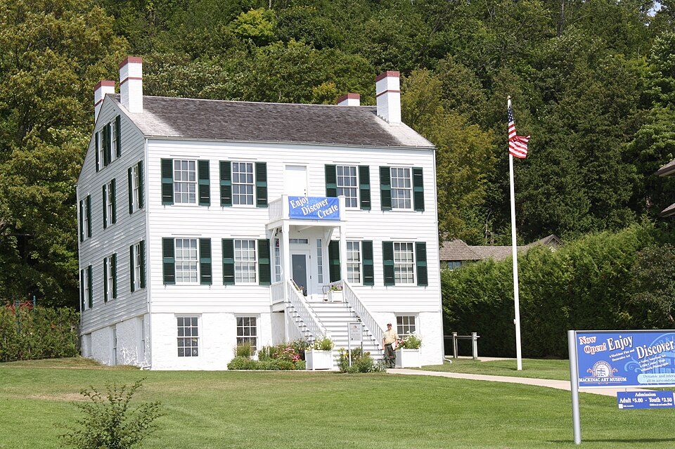 14


