On its age, its old homes and the National Register, West Bath is more historic than 45% of U.S. towns. Its share of homes from before 1940 holds the grade up; its National Register listings pull it down.
C+
HistoryA character grade: shown, never part of West Bath’s overall grade.
Maine towns list more on the Register than most of the country (a typical Maine town has 15.9 per 10,000 residents, the U.S. 2.4), so West Bath’s 5.4 sits below most of its state (29% of Maine towns have fewer) while its 1 listings outnumber those of 51% of U.S. towns.
How sure. Graded on two of the three inputs, so a change in either one moves the letter more than it would with three. The pre-1940 share is a Census survey estimate (±5.7 points).
Founding year: our sources. Homes: Census ACS 2020–24. National Register: National Park Service, May 2026 list; each listing counted once (boundary changes and added documentation belong to their listing), and a historic district counts its contributing buildings. How TownRatings grades history →
What stands out about West Bath’s past
Read from the archive, the National Register and the record. The page puts what stands out first.
Winnegance Carrying Place, located between Winnegance Creek on the Kennebec River and Winnegance Bay on the New Meadows River, was a busy canoe portage for the Kennebec Abenaki people. The area was first a portion of Georgetown, incorporated in 1716, then of Bath, incorporated in 1781. West Bath was set off and incorporated as a town on February 14, 1844. When the population was 603 in 1858, industries included a gristmill, sawmill and clapboard, shingle and lath machines. West Bath is today a suburb of Bath and Brunswick.
Passages that mention West Bath, cut from the printed page as they were published.
History of Bath and environs, Sagadahoc County, Maine. 1607-1894 ..1894 · page 478Read the page →
Read the text
In 1754 Bath, including West Bath, was incorporated into the Second Parish of ancient Georgetown. At that date there were living in the parish twenty families, and it has been said that among them was but one public professor of religion. This Christian man was John Shaw, yet there were four others who were considered pious men. They were Benjamin Thomson, John Bridges, Abner Lunt, and Jonathan Philbrook. — Groton.
Text read by machine from the scan; it may contain errors.
History of Bath and environs, Sagadahoc County, Maine. 1607-1894 ..1894 · page 36Read the page →
Read the text
The Town Comprised what is now Arrowsic, Georgetown, Phipsburg, Bath, Woolwich, and West Bath. Town meetings were held at the dwelling-house of Samuel Denny until they were held in the "meeting-house at Pleasant Cove," which was at the Noble and afterwards Lithgow and later the Morse farm, immediately south of Fiddlers Reach, March 8, 1742. When the meeting-house on Arrowsic Island was built and completed in 1763, the town meetings were held in that house. If meetings were called in winter, there
Text read by machine from the scan; it may contain errors.
Scans and text from the Internet Archive. Books published in 1930 or earlier, which are in the public domain.
Timeline
West Bath, 1853 to 2020
Woven from the archive, old maps, post office records, the National Register and the people born here.
Nothing in the archives for these yearsWeddings on Main Street, storms, parades, school pictures, the old store. If it’s in your family album, it belongs here.
West Bath is more historic than 45% of U.S. towns. The History grade combines the town’s founding era, the share of homes built before 1940 and its National Register listings. It’s a character grade, so it isn’t part of the overall grade. How it works.
What is on the National Register in West Bath?
One place: the Mill Cove School (listed 2000).
How old are the homes in West Bath?
12% of West Bath’s homes were built before 1940 (Census estimate, ±5.7 points), against a typical 19% for a Maine town; the median home was built in 1983.
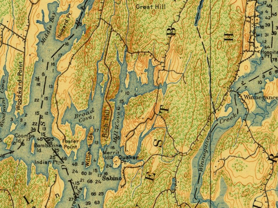
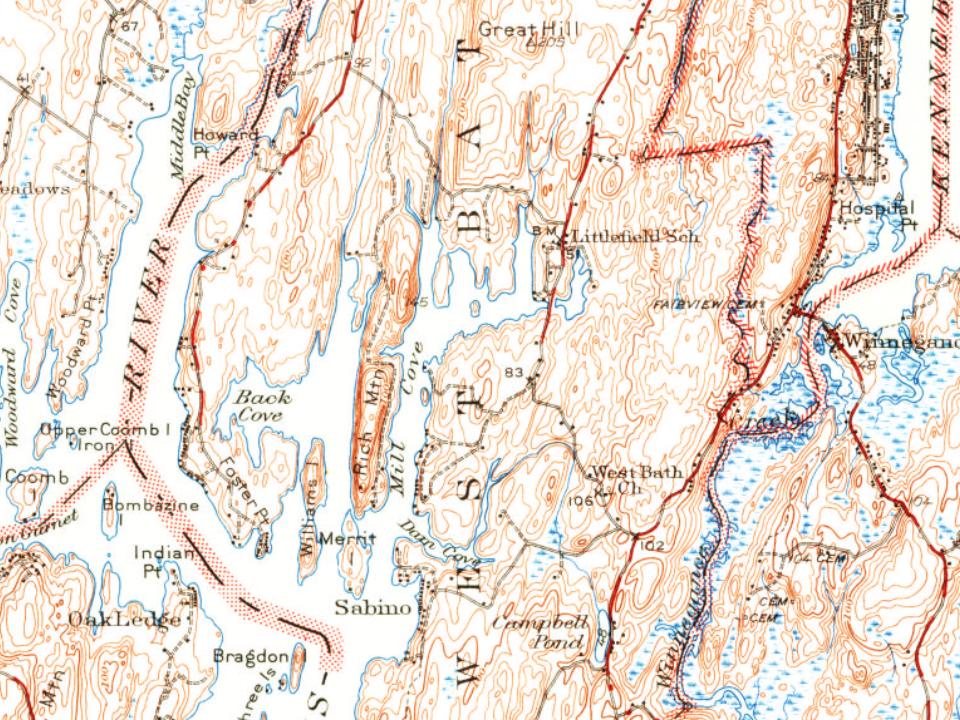
Founding dates: Wikidata, Wikipedia, the U.S. post office records of Blevins & Helbock (CC0) and the Census. Homes by year built: Census ACS 2020–24. National Register of Historic Places: National Park Service (list of May 22, 2026). Old photos, postcards and papers: Wikimedia Commons, the Library of Congress and other public archives, credited on each item’s page. Maps: U.S. Geological Survey historical topographic maps (via Esri) and Sanborn fire-insurance maps (Library of Congress). History text and census tables: Wikipedia (CC BY-SA 4.0). Places that used to be: USGS Geographic Names Information System (2021).
From Wikimedia Commons (5), Wikidata (1), the National Register of Historic Places (1), Wikipedia, U.S. Geological Survey historical maps, U.S. Census counts (via Wikipedia), the USGS Geographic Names Information System and old county and town histories (Internet Archive). Archive images are copied here with their credits and licenses, shown on each photo’s page. Refreshed monthly.





 2014
 2014
 2013
 2013


