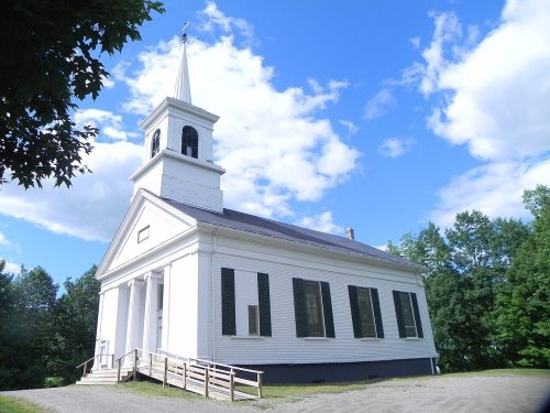
Most of Stetson was built recently: 9% of its homes predate 1940 and the median home dates from 1993. Its Register listing is the Stetson Union Church. Below: maps from 1935 on and the census since 1830.
Founding year: the first Stetson post office (Blevins & Helbock, CC0).The full story ↓
History grade
What drives Stetson’s History grade
On its age, its old homes and the National Register, Stetson is more historic than 59% of U.S. towns. Its age holds the grade up; its National Register listings pull it down.
B
HistoryA character grade: shown, never part of Stetson’s overall grade.
Maine towns list more on the Register than most of the country (a typical Maine town has 15.9 per 10,000 residents, the U.S. 2.4), so Stetson’s 8.7 sits near the middle of its state (37% of Maine towns have fewer) while its 1 listings outnumber those of 51% of U.S. towns.
How sure. Graded on any two of the three inputs instead, the letter would range from C+ to B. The pre-1940 share is a Census survey estimate (±5.7 points). The founding year is the first post office, not a stated founding date.
Founding year: the first post office (other dates in Quick answers). Homes: Census ACS 2020–24. National Register: National Park Service, May 2026 list; each listing counted once (boundary changes and added documentation belong to their listing), and a historic district counts its contributing buildings. How TownRatings grades history →
What stands out about Stetson’s past
Read from the archive, the National Register and the record. The page puts what stands out first.
The community was named after its first proprietor, Amasa Stetson who was born on March 26, 1769. His brother Simeon Stetson originally settled here as well, but moved to nearby Hampden in 1803. Simeon's sons Charles, George, and Isaiah founded a powerful mercantile and political family in Bangor, Maine.
Passages that mention Stetson, cut from the printed page as they were published.
History of Penobscot County, Maine1882 · page 369Read the page →
Read the text
Hampden post-office at the northeast corner, are Hampden post-office, two and one-half miles below, and Hampden Corners, only about a mile further. In the interior are West Hampden post-office, near Stetson Pond, also the Neally's Corners and Hampden Centre offices. The settlement along the river-road, which runs over six miles -in this town, may be regarded as practically one continuous village, so dense and populous
Text read by machine from the scan; it may contain errors.
History of Penobscot County, Maine1882 · page 491Read the page →
Read the text
Stetson village is about a mile northwest of the Pond, and very nearly equidistant from the east and north town lines, being about one and two-thirds miles from each, at the crossmg of the two important roads upon which the town is situated. It has a post-office, a meeting-house, School-house No. 2, a cheese and other factories and mills, and a fair business quarter. The Stetson Stream passes through it, with a large semi-circular
Text read by machine from the scan; it may contain errors.
History of Penobscot County, Maine1882 · page 612Read the page →
Read the text
Justice Mellen sentenced James Clark and Edward Lawrence to twenty-five days' imprisonment and costs for an aggravated assault in the night-time upon Samuel Stetson. They had trespassed upon land of which Stetson had the care. They afterwards disguised themselves as Indians, and, imitating the language and manner of those people, were removing the timber they had cut, when they detected Stetson watching to ascertain
Text read by machine from the scan; it may contain errors.
History of Penobscot County, Maine1882 · page 612Read the page →
Read the text
Justice Mellen sentenced James Clark and Edward Lawrence to twenty-five days' imprisonment and costs for an aggravated assault in the night-time upon Samuel Stetson. They had trespassed upon land of which Stetson had the care. They afterwards disguised themselves as Indians, and, imitating the language and manner of those people, were removing the timber they had cut when they detected Stetson watching to ascertain
Text read by machine from the scan; it may contain errors.
Scans and text from the Internet Archive. Books published in 1930 or earlier, which are in the public domain.
The Stetson post office opened in 1829, the earliest record of the town by name (U.S. post office records).
How does Stetson rank for history?
Stetson is more historic than 59% of U.S. towns. The History grade combines the town’s founding era, the share of homes built before 1940 and its National Register listings. It’s a character grade, so it isn’t part of the overall grade. How it works.
What is on the National Register in Stetson?
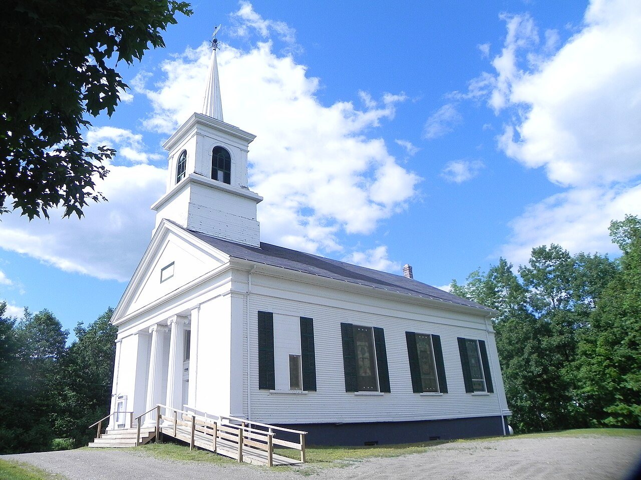
One place: the Stetson Union Church (listed 1981).
How old are the homes in Stetson?
9% of Stetson’s homes were built before 1940 (Census estimate, ±5.7 points), against a typical 19% for a Maine town; the median home was built in 1993.
Founding dates: Wikidata, Wikipedia, the U.S. post office records of Blevins & Helbock (CC0) and the Census. Homes by year built: Census ACS 2020–24. National Register of Historic Places: National Park Service (list of May 22, 2026). Old photos, postcards and papers: Wikimedia Commons, the Library of Congress and other public archives, credited on each item’s page. Maps: U.S. Geological Survey historical topographic maps (via Esri) and Sanborn fire-insurance maps (Library of Congress). History text and census tables: Wikipedia (CC BY-SA 4.0). Places that used to be: USGS Geographic Names Information System (2021).
From Wikimedia Commons (1), Wikidata (1), the National Register of Historic Places (1), Wikipedia, Wikidata and Wikipedia for famous people, U.S. Geological Survey historical maps, U.S. Census counts (via Wikipedia), the US Post Offices dataset (Blevins & Helbock), the USGS Geographic Names Information System and old county and town histories (Internet Archive). Archive images are copied here with their credits and licenses, shown on each photo’s page. Refreshed monthly.


 2015