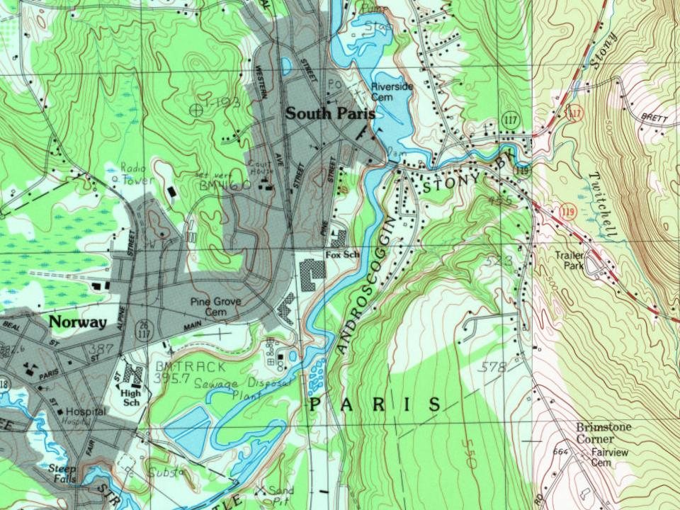
On November 4, 1773, when the Proprietors were lotting out the township, they held a meeting at Coolidge Tavern in Watertown, Massachusetts and they voted that there be reserved for the use of the proprietors their heirs and assigns forever two rods in width on the eastward side of every range line through the length of the township for the conveniency of ways if it shall be needed, establishing rangeways to prevent landlocking and segregation in the township of Paris and West Paris.
During the 19th-century, the Little Androscoggin River provided water power to operate mills in South Paris, and the village grew up around them.
Passages that mention South Paris, cut from the printed page as they were published.
History of Rumford, Oxford County, Maine, from its first settlement in 1779, to the present time1890 · page 111Read the page →
Read the text
IpN 1815, the first Post OfHce in Rumford was established, and |J| until there was a Post Office, mail carriers were, of course, unnecessary. A Post Office was established in South Paris in 1801, and in Norway Village the same year. One had been established in Waterford the year previous, and in Fryeburg in 1798, and for many years these offices supplied all the back towns in the county.
Text read by machine from the scan; it may contain errors.
Scans and text from the Internet Archive. Books published in 1930 or earlier, which are in the public domain.
By decade
South Paris, decade by decade
2 decades in the archive, from the 1860s to the 1900s. Scroll each row; tap a photo for its story.
Nothing in the archives for these yearsWeddings on Main Street, storms, parades, school pictures, the old store. If it’s in your family album, it belongs here.
Founding dates: Wikidata, Wikipedia, the U.S. post office records of Blevins & Helbock (CC0) and the Census. Homes by year built: Census ACS 2020–24. National Register of Historic Places: National Park Service (list of May 22, 2026). Old photos, postcards and papers: Wikimedia Commons, the Library of Congress and other public archives, credited on each item’s page. Maps: U.S. Geological Survey historical topographic maps (via Esri) and Sanborn fire-insurance maps (Library of Congress). History text and census tables: Wikipedia (CC BY-SA 4.0). Places that used to be: USGS Geographic Names Information System (2021). How TownRatings grades history →
From Wikimedia Commons (6), Wikipedia, Wikidata and Wikipedia for famous people, U.S. Geological Survey historical maps, Sanborn fire insurance maps (Library of Congress) and old county and town histories (Internet Archive). Archive images are copied here with their credits and licenses, shown on each photo’s page. Refreshed monthly.



 c. 1869
 c. 1869
 c. 1869
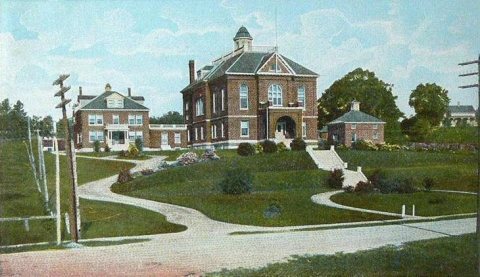 1907