
Kittery Point.Alternate Title: York & Kittery, c. 1870
Kittery Point’s story
172 years in pictures
The archive holds 6 old photos and papers going back to 1870 and 7 maps from 1893 on.
- 1854Kittery Point is settled
Each edition grades its towns against each other only.

73% of adults 25 and older hold a bachelor’s degree or more in Kittery Point, where Maine’s towns sit at 32% and U.S. towns at 29%. Of the 144 Maine towns we compare, none has a lower share of residents below the poverty line than Kittery Point. The biggest park or preserve is Fort McClary State Historic Site, at 25 acres. Kittery Point has fewer than 1,000 residents, too few for fair grades; the figures below are still real.
Where Kittery Point beats most towns.
Coastal flooding makes up 20% of the storm damage FEMA expects here.
FEMA National Risk Index · OpenFEMA · OpenStreetMap
The archive holds 6 old photos and papers going back to 1870 and 7 maps from 1893 on.
Museums, parks, gardens and other places to visit around Kittery Point. Close and well known come first.
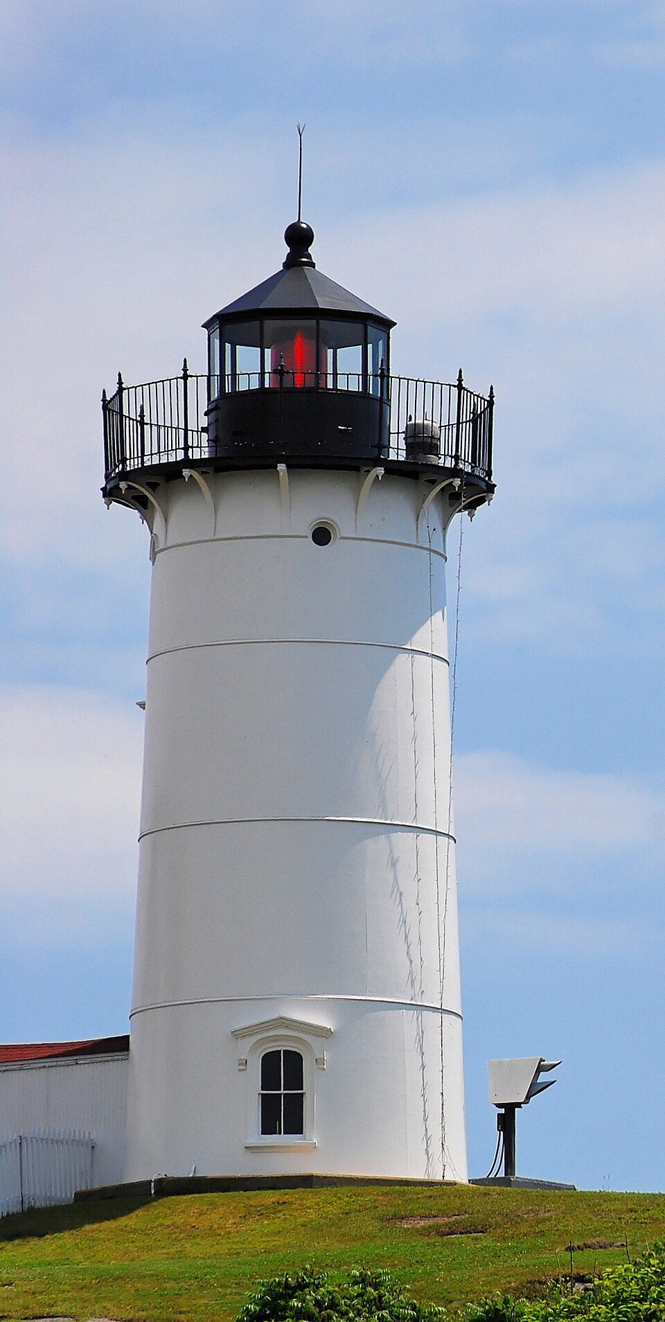 7 mi LighthouseCape Neddick Light
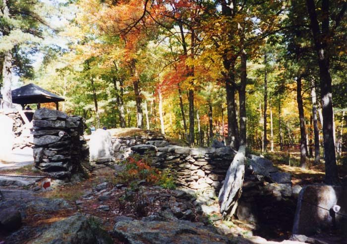 31 mi Ancient siteAmerica's Stonehenge
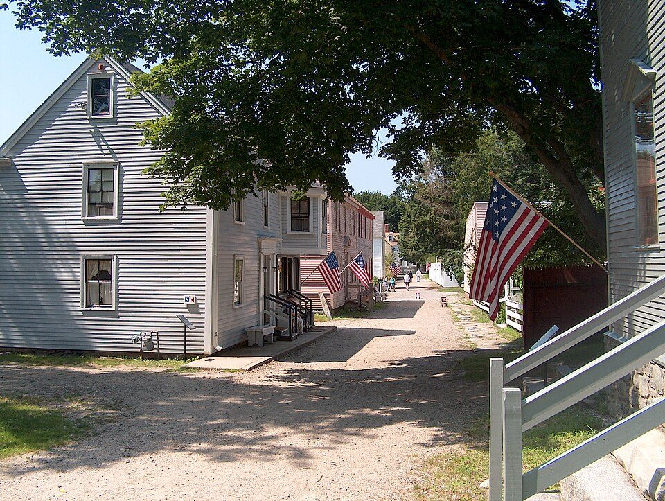 4 mi MuseumStrawbery Banke
 2 mi LandmarkFort William and Mary
 35 mi Theme parkCanobie Lake Park
 11 mi LighthouseBoon Island Light
Cape Neddick Light: Stefan Hillebrand, CC BY-SA 3.0 · America's Stonehenge: User:Stan Shebs, CC BY-SA 3.0 · Strawbery Banke: Ken Gallager (Ken Gallager from en.wikipedia), Public domain · Fort William and Mary: AlexiusHoratius, CC BY-SA 3.0 · Canobie Lake Park: Alex1961, CC BY-SA 2.0 · Boon Island Light: Originally uploaded by Dk69, Public domain
Kittery Point is unincorporated, so York County and regional agencies provide most services.
EPA SDWIS (Oct 9, 2026) · HIFLD + EIA-861 2025 · Census 2020 ZCTAs · NCES 2024–25 · registration: vote.gov, updated Aug 3, 2026.
Ordered by what stands out in Kittery Point.
The average commute in Kittery Point is 23 minutes. Most working residents leave Kittery Point for work: only 3% work in town. Also worth knowing: jobs in Kittery Point grew by 42 from 2013 to 2023, reaching 127. The median commute is under 11 miles.
| Kittery Point | Maine towns | U.S. towns | |
|---|---|---|---|
| Median household income | $141,000 | $78,000 | $80,000 |
| Working residents who work in town | 3% | 12% | 8% |
| Average trip to work | 23 minutes | 25 minutes | 25 minutes |
Census LEHD 2023 · ACS
Kittery Point’s July high is 80°F.
NOAA U.S. Climate Normals, 1991–2020
Among 144 Maine towns, just 5 have a higher share of adults who had a checkup this year than Kittery Point. Kittery Point: 14% of adults report frequent mental distress.
| Kittery Point | Maine towns | U.S. towns | |
|---|---|---|---|
| Frequent mental distress (CDC PLACES) | 14% | 18% | 17% |
| Feel lonely (CDC PLACES) | 27% | 32% | 33% |
| Sleep under 7 hours (CDC PLACES) | 28% | 33% | 36% |
| Yearly checkup (CDC PLACES) | 85% | 81% | 79% |
| What stands out | Kittery Point | ME |
|---|---|---|
| Fewer adults facing food insecurity | 6.3% | 10.7% |
| Fewer adults facing a utility shut-off | 4.6% | 7.4% |
| More adults who have had cancer | 13.8% | 9.9% |
CDC PLACES 2025 · modeled estimates for adults · CMS · HRSA
Compared with three fifths of U.S. communities, expected storm and flood damage in Kittery Point is lower. Of the losses FEMA expects locally, 38% come from inland flooding and 22% from hurricanes.
FEMA National Risk Index · OpenFEMA
0.8 miles of trail in 4 parks and preserves. The trail network density for Kittery Point comes to 0.3 miles per square mile.
| Kittery Point | Maine towns | U.S. towns | |
|---|---|---|---|
| Miles of trail per square mile | 0.3 miles per square mile | 0.7 | 0.4 |
| Conserved land | 4.4% | 4.7% | 4.3% |
| Biggest places to walk | Trails | Acres |
|---|---|---|
| 1. Fort McClary State Historic Site | 0.3 mi | 25 |
| 2. Cutts | — | 22 |
| 3. Furbish | — | 17 |
Trails & parks © OpenStreetMap contributors · Conserved land: USGS PAD-US
For Kittery Point, the midpoint rent is $1,791 a month. In Kittery Point, four in five households own their home.
| Kittery Point | Maine towns | U.S. towns | |
|---|---|---|---|
| Median rent | $1,791 a month | $1,106 a month | $1,185 a month |
| Households that own their home | 80% | 81% | 73% |
Census ACS, 2020–24 · Zillow Home Value Index · Redfin Data Center
2 within 15 miles of the center of Kittery Point
About 10 of every 100 Kittery Point residents are enrolled in college, against 6 across Maine.
In a town this size, neighbors are the best guide. Ask them anything.
Census-designated place in Maine, United States
Kittery Point is a census-designated place (CDP) in the town of Kittery, York County, Maine, United States. First settled in 1623, Kittery Point traces its history to the first seafarers who colonized the shore of what became Massachusetts Bay Colony and later the State of Maine. Located beside the Atlantic Ocean, it is home to Fort McClary State Historic Site, and Fort Foster Park on Gerrish Island. Cutts Island is home to Seapoint Beach and the Brave Boat Harbor Division of the Rachel Carson National Wildlife Refuge. Kittery Point is part of the Portland–South Portland–Biddeford, Maine Metropolitan Statistical Area. As of the 2020 census, Kittery Point had a population of 1,009.
From Wikipedia, licensed CC BY-SA 4.0 · facts via Wikidata (CC0)
Short answers, built from the data on this page.
Kittery Point has fewer than 1,000 residents, too few for fair grades; the figures below are still real.
2 notable people were born here, including William Pepperrell and David Pearce Penhallow.


