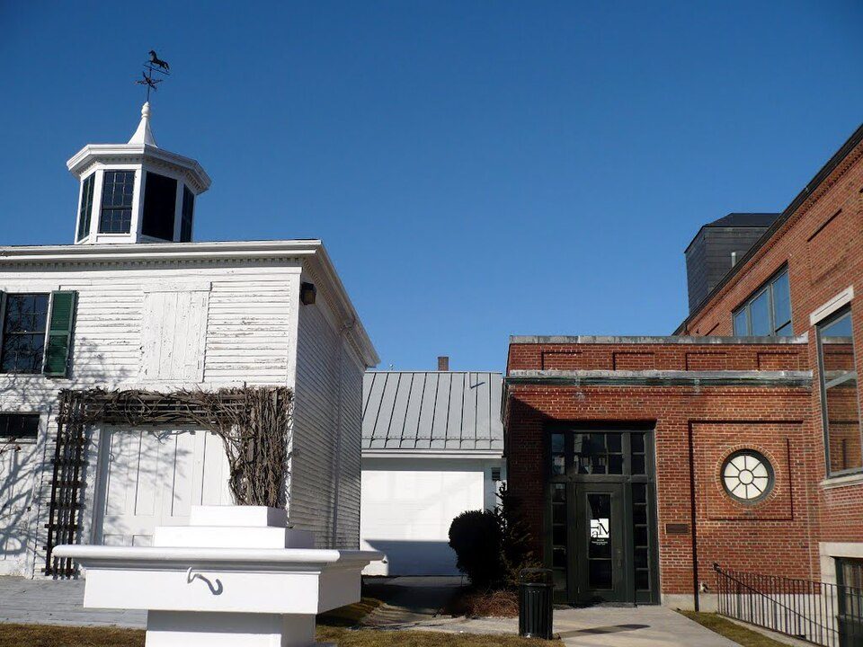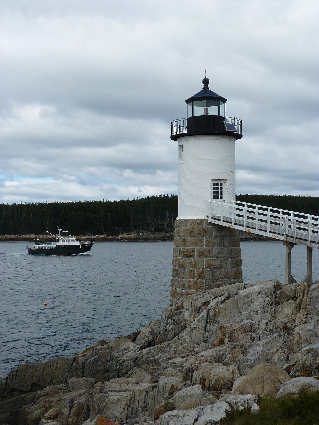
Isle au Haut in pictures
Census counts: 315 in 1830, a low of 45 in 1970, 92 in 2020. The archive holds 5 old photos and papers going back to 2008 and 3 maps from 1904 on.
2 places on the National Register of Historic Places.
Explore the history →Each edition grades its towns against each other only.
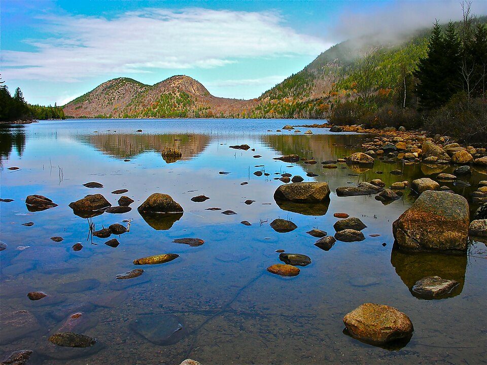
Some 84 people live in this town, in Maine.
Isle au Haut’s average commute is 4 minutes, below both the Maine town median (25 minutes) and the median of U.S. towns (25 minutes). No town among the 144 in Maine we compare has a higher midpoint age than Isle au Haut. Acadia National Park, at 3,208 acres with 19.3 miles of trail, is the biggest park or preserve. Isle au Haut has fewer than 1,000 residents, too few for fair grades; the figures below are still real.
Coastal flooding makes up 38% of the storm damage FEMA expects here.
FEMA National Risk Index · OpenFEMA · OpenStreetMap
Census counts: 315 in 1830, a low of 45 in 1970, 92 in 2020. The archive holds 5 old photos and papers going back to 2008 and 3 maps from 1904 on.
2 places on the National Register of Historic Places.
Explore the history →Museums, parks, gardens and other places to visit around Isle au Haut. Close and well known come first.
Big drawin town National ParkAcadia National Park4.1M visitors a year
29 mi MountainCadillac Mountain
37 mi LandmarkFort Knox
19 mi LighthouseBass Harbor Head Light
24 mi MuseumFarnsworth Art Museum28 mi Ski areaCamden Snow Bowl31 runs · 836 ft verticalAcadia National Park: Plh1234us, CC BY-SA 3.0 · Cadillac Mountain: The original uploader was NightThree at English Wikipedia., CC BY 2.0 · Fort Knox: Unknown, Public domain · Bass Harbor Head Light: G. Edward Johnson, CC BY-SA 3.0 · Farnsworth Art Museum: Panoramio user MementoMori, CC BY 3.0
Who provides power, water and the rest in Isle au Haut, and how to reach them.
EPA SDWIS (Oct 9, 2026) · HIFLD + EIA-861 2025 · Census 2020 ZCTAs · NCES 2024–25 · registration: vote.gov, updated Aug 3, 2026.
Ordered by what stands out in Isle au Haut.
The July high for Isle au Haut comes to 75°F.
NOAA U.S. Climate Normals, 1991–2020
Its one school is below. Public schools: the Isle Au Haut Public Schools.
| School | Level | Students | Letter |
|---|---|---|---|
| Isle au Haut Rural SchoolLargest public elementary schoolGrades PK–8 | Grades PK–8 | 7 | – |
NCES · EDFacts
18% of adults get no exercise outside work in Isle au Haut. Among 144 Maine towns, just 9 have a lower share of adults who say their health is fair or poor than Isle au Haut.
| Isle au Haut | Maine towns | U.S. towns | |
|---|---|---|---|
| Sleep under 7 hours (CDC PLACES) | 28% | 33% | 36% |
| Frequent mental distress (CDC PLACES) | 14% | 18% | 17% |
| Obesity (CDC PLACES) | 27% | 33% | 35% |
| Smoke cigarettes (CDC PLACES) | 10% | 15% | 14% |
| What stands out | Isle au Haut | ME |
|---|---|---|
| Fewer older adults who have lost all their teeth | 9% | 14.8% |
| Fewer adults facing food insecurity | 6.6% | 10.7% |
CDC PLACES 2025 · modeled estimates for adults · CMS · HRSA
In 12 parks and preserves, walkers have 23 miles of trail. For Isle au Haut, the concentration of trails is 0.2 miles per square mile.
| Isle au Haut | Maine towns | U.S. towns | |
|---|---|---|---|
| Miles of trail per square mile | 0.2 miles per square mile | 0.7 | 0.4 |
| Conserved land | 5.6% | 4.7% | 4.3% |
| Biggest places to walk | Trails | Acres |
|---|---|---|
| 1. Acadia National Park | 19.3 mi | 3,208 |
| 2. Head Harbor Preserve | 0.5 mi | 72 |
| 3. Eastern Maine Habitat Management Area | — | 479 |
Trails & parks © OpenStreetMap contributors · Conserved land: USGS PAD-US
Federal aid has come to Isle au Haut households in 3 declared disasters; the latest was in 2013. Expected storm and flood damage is lower than in 53% of U.S. communities.
FEMA disaster declarations and aid · FEMA National Risk Index · OpenFEMA
None within 15 miles of Isle au Haut; the nearest are
About 0 of every 100 Isle au Haut residents are enrolled in college, against 6 across Maine.
In a town this size, neighbors are the best guide. Ask them anything.
Town in Maine, United States
Isle au Haut () is a town in Knox County, Maine, United States, on an island of the same name in Penobscot Bay. The population was 92 at the 2020 census. Home to portions of Acadia National Park, Isle au Haut is accessible by ferry from Stonington.
From Wikipedia, licensed CC BY-SA 4.0 · facts via Wikidata (CC0)
Short answers, built from the data on this page.
Isle au Haut has fewer than 1,000 residents, too few for fair grades; the figures below are still real. Some 84 people live in this town, in Maine.