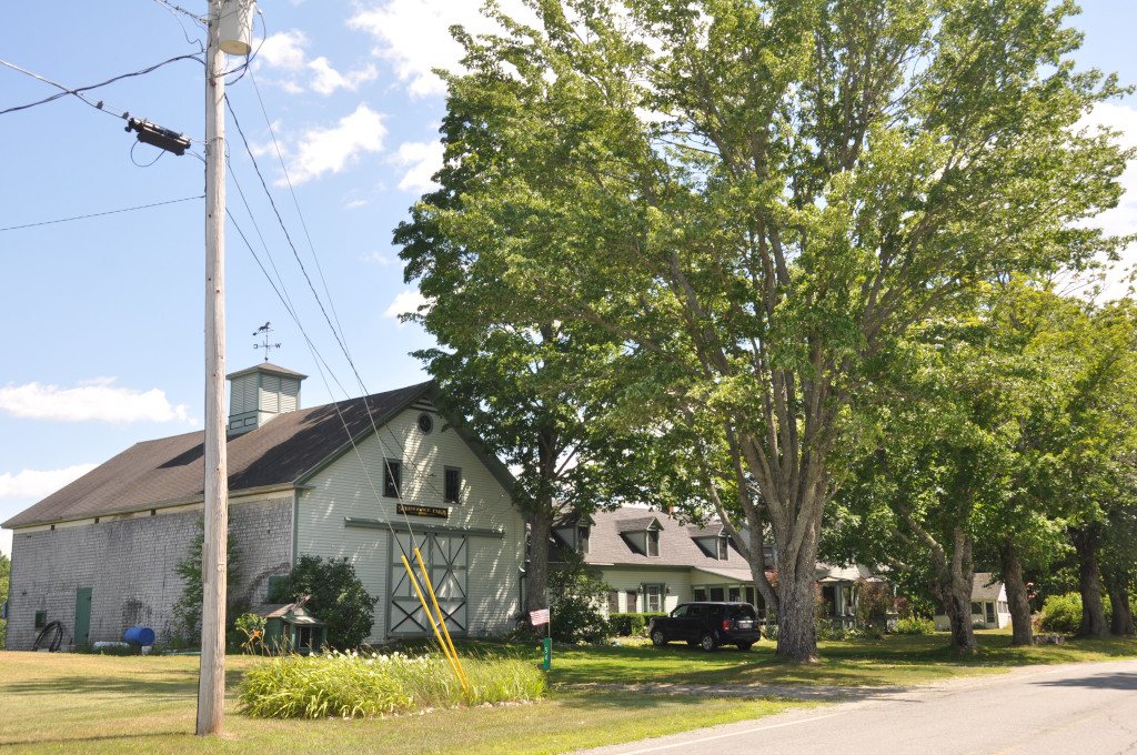
196 years in pictures
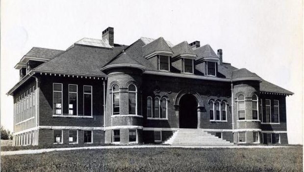
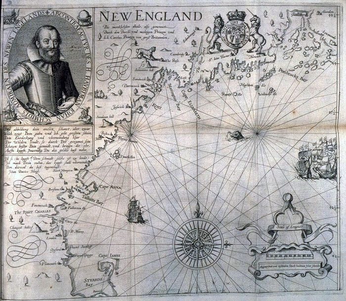
Census counts: 409 in 1830, 1,096 in 2020. The archive holds 4 old photos and papers going back to 1870 and 4 maps from 1926 on.
1 place on the National Register of Historic Places.
- 1830Burnham is settled
Each edition grades its towns against each other only.

Burnham’s best subject grade is an A− for history; its weakest is a D for incomes. Among 144 Maine towns, just 5 have a lower share of working residents who work in town than Burnham. Most errands need a car: it is less walkable than 75% of U.S. towns. The biggest park or preserve is Plymouth Bog Wildlife Management Area, at 1,499 acres. Burnham has fewer than 2,500 residents, so it gets subject grades but no overall grade.
Where Burnham beats most towns.
In a town this size, neighbors are the best guide. Ask them anything.
Each subject compared with towns across the country (schools within Maine), ordered by how far Burnham is from typical.
How TownRatings grades towns →
Census counts: 409 in 1830, 1,096 in 2020. The archive holds 4 old photos and papers going back to 1870 and 4 maps from 1926 on.
1 place on the National Register of Historic Places.
Who provides power, water and the rest in Burnham, and how to reach them.
EPA SDWIS (Oct 9, 2026) · HIFLD + EIA-861 2025 · Census 2020 ZCTAs · NCES 2024–25 · registration: vote.gov, updated Aug 3, 2026.
Ordered by what stands out in Burnham.
Burnham beats the Maine average on 0 of 32 CDC measures and trails it on 15. 18% of adults report frequent physical distress in Burnham, above both the Maine town median (14%) and the median of U.S. towns (14%). 20% of Burnham adults smoke cigarettes.
| Burnham | Maine towns | U.S. towns | |
|---|---|---|---|
| Frequent physical distress (CDC PLACES) | 18% | 14% | 14% |
| Smoke cigarettes (CDC PLACES) | 20% | 15% | 14% |
| Depression (CDC PLACES) | 30% | 27% | 23% |
| Frequent mental distress (CDC PLACES) | 20% | 18% | 17% |
| What stands out | Burnham | ME |
|---|---|---|
| More adults facing food insecurity | 15.1% | 10.7% |
| More smokers | 20.2% | 14.4% |
| More adults facing a utility shut-off | 10% | 7.4% |
CDC PLACES 2025 · modeled estimates for adults · CMS · HRSA
The typical Burnham home is worth about $270,000, up 1.6% in a year, 35% below the Maine typical home. 88% of households own their home in Burnham, where Maine’s towns sit at 81% and U.S. towns at 73%. Burnham’s median rent is $1,308 a month.
| Burnham | Maine towns | U.S. towns | |
|---|---|---|---|
| Households that own their home | 88% | 81% | 73% |
| Median rent | $1,308 a month | $1,106 a month | $1,185 a month |
Census ACS, 2020–24 · Zillow Home Value Index · Redfin Data Center
Most working residents leave Burnham for work: only 4% work in town. Jobs based in Burnham grew to 219 in 2023, 33 more than in 2013. The average trip to work in Burnham is 22 minutes.
| Burnham | Maine towns | U.S. towns | |
|---|---|---|---|
| Average trip to work | 22 minutes | 25 minutes | 25 minutes |
| Below the poverty line | 14% | 9% | 9.6% |
| Median household income | $59,000 | $78,000 | $80,000 |
Census LEHD 2023 · ACS
Burnham has cold, snowy winters and pleasant summers. July afternoons reach 79°, January nights drop to 9° and about 86 inches of snow falls in a winter.
NOAA U.S. Climate Normals, 1991–2020
22 miles of trail in 2 parks and preserves.
| Burnham | Maine towns | U.S. towns | |
|---|---|---|---|
| Conserved land | 6.6% | 4.7% | 4.3% |
| Miles of trail per square mile | 0.6 miles per square mile | 0.7 | 0.4 |
| Biggest places to walk | Trails | Acres |
|---|---|---|
| 1. Plymouth Bog Wildlife Management Area | — | 1,499 |
| 2. Albert J. Sousa Preserve | 0.1 mi | 202 |
Trails & parks © OpenStreetMap contributors · Conserved land: USGS PAD-US
Expected storm and flood damage is higher than in 51% of U.S. communities. Since 1987, 6 flood insurance claims have been paid out in Burnham.
FEMA flood insurance claims · FEMA National Risk Index · OpenFEMA
Museums, parks, gardens and other places to visit around Burnham. Close and well known come first.
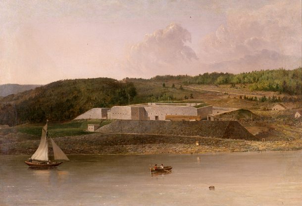
30 mi LandmarkFort Knox
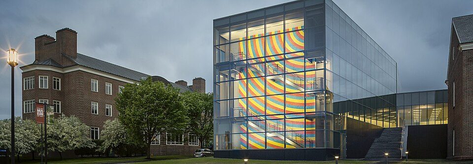
15 mi MuseumColby College Museum of Art
32 mi MuseumMaine State Museum34 mi Ski areaCamden Snow Bowl31 runs · 836 ft vertical
12 mi MuseumL. C. Bates Museum
27 mi MuseumPenobscot Marine MuseumFort Knox: Unknown, Public domain · Colby College Museum of Art: Colby Mariam, CC BY-SA 4.0 · Maine State Museum: Stilfehler, CC BY-SA 3.0 · L. C. Bates Museum: W.A. Judge, Public domain · Penobscot Marine Museum: John Smith, Public domain
1 within 15 miles of the center of Burnham
About 3 of every 100 Burnham residents are enrolled in college, against 6 across Maine.
Where Burnham’s working residents go each day. Line width shows the share.
Census LEHD 2023
Town in Maine, United States
Burnham is a town in Waldo County, Maine, United States. The population was 1,096 at the 2020 census.
From Wikipedia, licensed CC BY-SA 4.0 · facts via Wikidata (CC0)
Short answers, built from the data on this page.
That is 3.7 years of the area's median household income ($72,782 across the county). Cost of living, which also weighs rents, property taxes and how many households pay 30% or more of their income for housing, grades B−.