WaterviewMD
A town in Maryland.
Is Waterview a good place to live?
Among 262 Maryland towns, just 4 have a higher January low than Waterview. 19% of the land in Waterview is conserved, above both Maryland’s towns (9.5%) and U.S. towns (4.3%). The biggest park or preserve is Chesapeake Forest, at 51 acres. We don’t grade Waterview yet; the figures below are still real.
Waterview lives by the ocean
Coastal flooding makes up 11% of the storm damage FEMA expects here.
FEMA National Risk Index · OpenFEMA · OpenStreetMap
Moving to Waterview: who provides what
Waterview is unincorporated, so Wicomico County and regional agencies provide most services.
EPA SDWIS (Oct 9, 2026) · HIFLD + EIA-861 2025 · Census 2020 ZCTAs · NCES 2024–25 · registration: vote.gov, updated Mar 11, 2026.
The data
Ordered by what stands out in Waterview.
Conserved land covers 18.8% of Waterview
Waterview has 2 parks and preserves, 59 acres in all.
| Biggest places to walk | Trails | Acres |
|---|---|---|
| 1. Chesapeake Forest | — | 51 |
| 2. Ellis Bay Wildlife Management Area | — | 8 |
Trails & parks © OpenStreetMap contributors · Conserved land: USGS PAD-US
Typical low → high °F
NOAA U.S. Climate Normals, 1991–2020
Compared with most of Maryland and the rest of the country, more of Waterview’s adults have high blood pressure
In Waterview, 28% of adults get no exercise outside work. Only one of the 262 Maryland towns we compare has a higher share of adults who had a checkup this year than Waterview. Against the Maryland average, Waterview comes out ahead on 13 CDC measures out of 32, and behind on 10.
| Waterview | Maryland towns | U.S. towns | |
|---|---|---|---|
| High blood pressure (CDC PLACES) | 46% | 35% | 35% |
| Yearly checkup (CDC PLACES) | 86% | 79% | 79% |
| Diabetes (CDC PLACES) | 16% | 12% | 12% |
| Binge drink (CDC PLACES) | 12% | 14% | 16% |
| What stands out | Waterview | MD |
|---|---|---|
| Fewer adults facing housing insecurity | 8.1% | 13.5% |
| Fewer adults facing a utility shut-off | 5.6% | 8.4% |
| More adults who have had cancer | 13.1% | 7.6% |
CDC PLACES 2025 · modeled estimates for adults · CMS · HRSA
The FEMA risk score in Waterview is higher than in the typical Maryland or U.S. town
Expected losses in Waterview break down as 46% from hurricanes and 22% from inland flooding.
FEMA National Risk Index · OpenFEMA
USS Texas and 13 more within 40 miles
Museums, parks, gardens and other places to visit around Waterview. Close and well known come first.
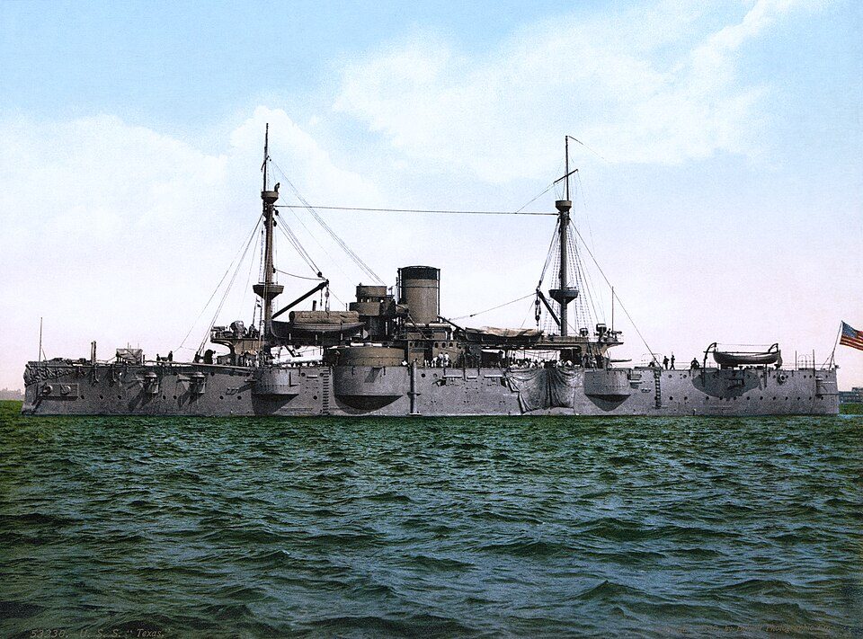 38 mi Ancient siteUSS Texas
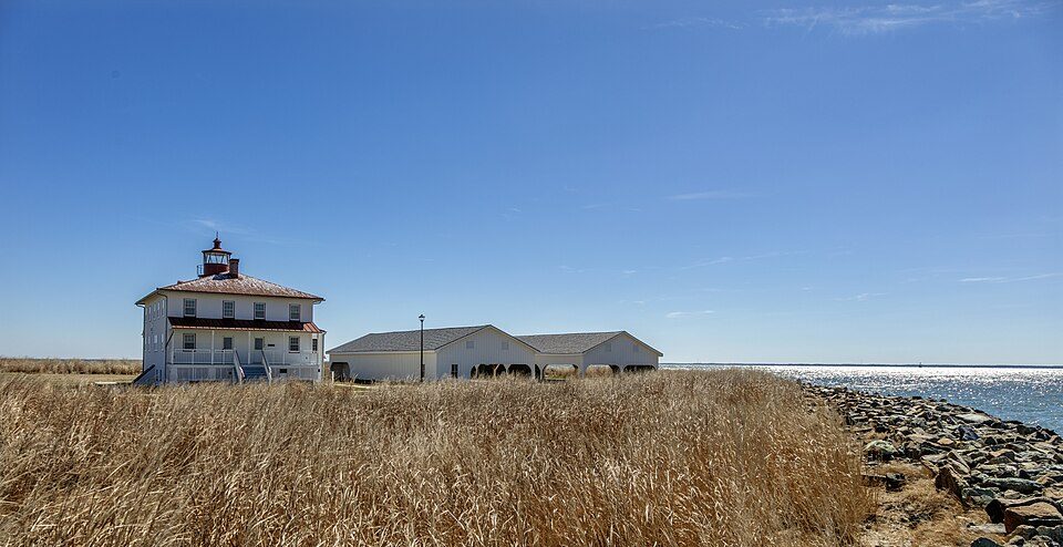 27 mi State parkPoint Lookout State Park
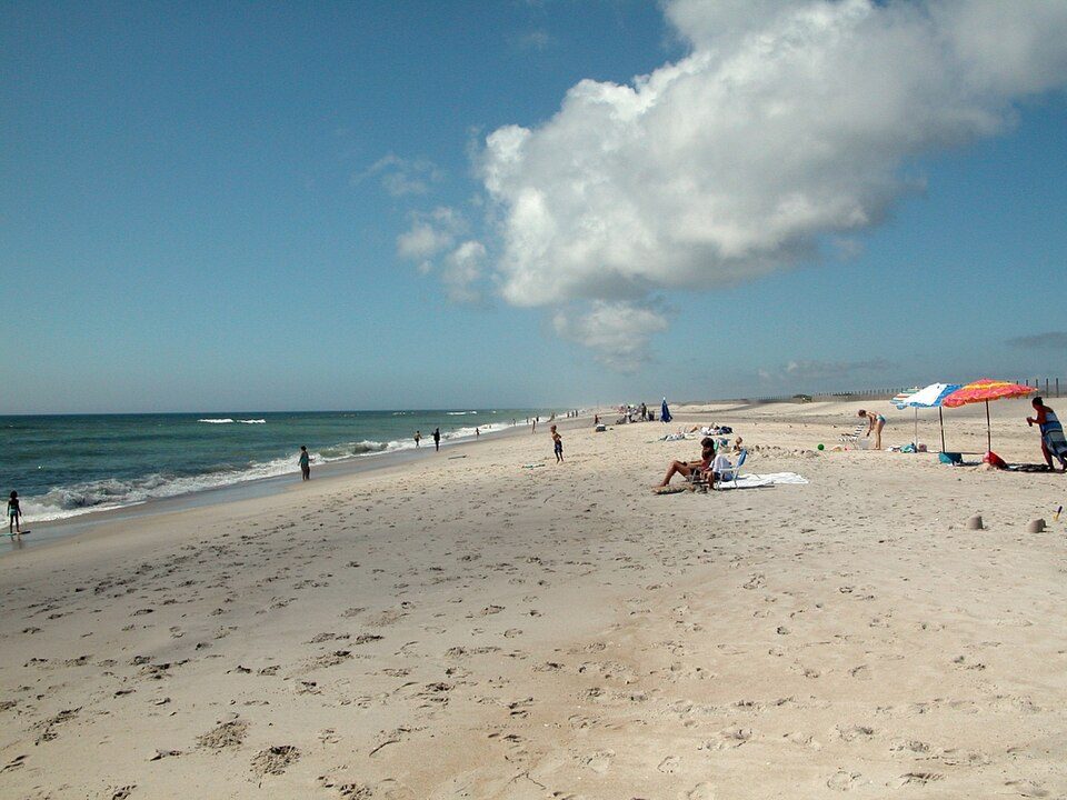 36 mi National SeashoreAssateague Island National Seashore2.3M visitors a year
 36 mi Ancient siteU-1105
 31 mi MuseumPatuxent River Naval Air Museum19 mi Zoo & aquariumSalisbury Zoo
Photo credits
USS Texas: Unknown authorUnknown author, Public domain · Point Lookout State Park: Acroterion, CC BY-SA 4.0 · Assateague Island National Seashore: Fritz Geller-Grimm, CC BY-SA 2.5 · U-1105: U.S. Navy, Public domain · Patuxent River Naval Air Museum: Acroterion, CC BY-SA 4.0


Everything we know about Waterview
Colleges nearby
1 within 15 miles of the center of Waterview
About Waterview
Census-designated place in Maryland, United States
Waterview is an unincorporated community and census-designated place in Wicomico County, Maryland, United States. Its population was 40 as of the 2010 census. It is part of the Salisbury, Maryland-Delaware Metropolitan Statistical Area.
From Wikipedia, licensed CC BY-SA 4.0 · facts via Wikidata (CC0)
- Area
- 0.5 sq mi
- Elevation
- 7 ft
Waterview’s neighbors
One town shares a border with Waterview.
| Town | MD rank | Overall | Cost | Safety | Schools | Health |
|---|---|---|---|---|---|---|
| Waterview | — | — | — | — | — | — |
| Nanticoke Acres | — | — | — | — | — | — |
Waterview and Nanticoke Acres aren’t graded (fewer than 1,000 residents, or not enough data). Compare Waterview with a neighbor →
Questions about Waterview
Short answers, built from the data on this page.
Is Waterview, MD a good place to live?
We don’t grade Waterview yet; the figures below are still real. A town in Maryland.