Lost post offices, old corners and burying grounds
Three other post offices opened and closed inside today’s town.
Tilghman
1883–today
Fairbank
1892–1942
Avalon
1900–1965
Bar Neck
1914–1921
18801950today
Hamlets and corners on the map
AvalonDeep HarborFairbankTilghmanTilghman Island Beach
2cemeteries and burying grounds inside Tilghman Island
Saint Johns ChapelTilghman Island
US Post Offices dataset (Blevins & Helbock, CC0). Places and cemeteries from the USGS Geographic Names Information System (2021).
On the map
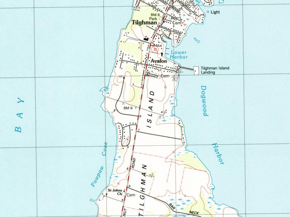
Tilghman Island on the map, 1893 to 1988
Every edition of the U.S. Geological Survey’s map of Tilghman Island. Tap a year, or press play to watch the town change.
1893Sharps Island sheet · 1:62,500
U.S. Geological Survey historical topographic maps (public domain), via Esri’s collection of the scans. The red ring marks the center of Tilghman Island.
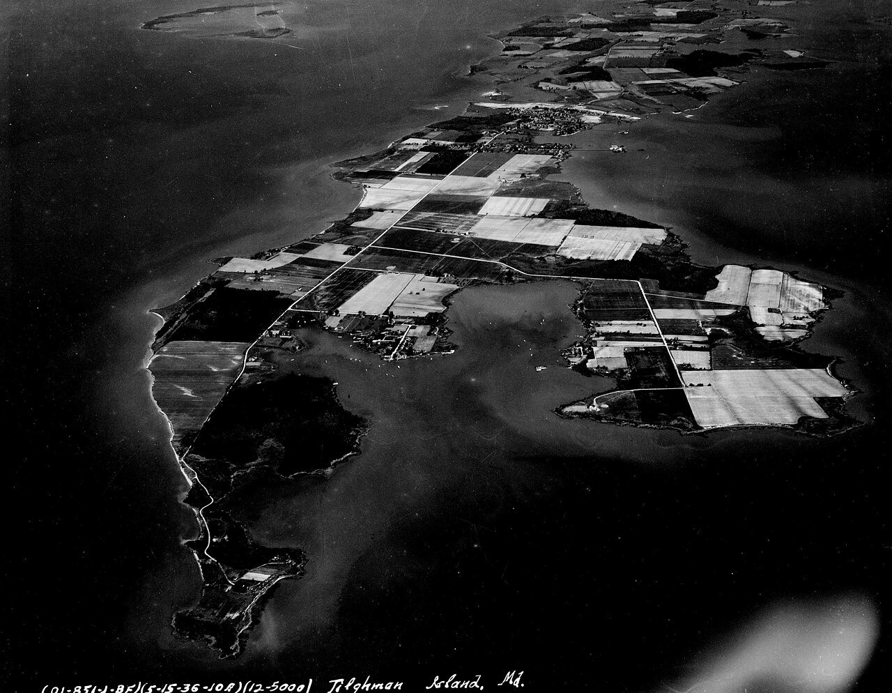
Initially known as Great Choptank Island, the island became identified with a series of local families. It was owned by Matthew Tilghman's family from 1752 and has been known as Tilghman Island ever since.
During the War of 1812 the island was briefly occupied by the British, who obtained provisions for their military forces. The community of Tilghman appeared in the 1840s. The economy shifted from farming to greater reliance on oystering and fishing as markets developed in Baltimore and Washington, aided by steamboat service in the 1890s.
Nothing in the archives for these yearsWeddings on Main Street, storms, parades, school pictures, the old store. If it’s in your family album, it belongs here.
Founding dates: Wikidata, Wikipedia, the U.S. post office records of Blevins & Helbock (CC0) and the Census. Homes by year built: Census ACS 2020–24. National Register of Historic Places: National Park Service (list of May 22, 2026). Old photos, postcards and papers: Wikimedia Commons, the Library of Congress and other public archives, credited on each item’s page. Maps: U.S. Geological Survey historical topographic maps (via Esri) and Sanborn fire-insurance maps (Library of Congress). History text and census tables: Wikipedia (CC BY-SA 4.0). Places that used to be: USGS Geographic Names Information System (2021). How TownRatings grades history →
From Wikimedia Commons (35), the National Register of Historic Places (2), Wikipedia, U.S. Geological Survey historical maps, the US Post Offices dataset (Blevins & Helbock) and the USGS Geographic Names Information System. Archive images are copied here with their credits and licenses, shown on each photo’s page. Refreshed monthly.






 1917
 1968
 1968
 1968
 1968
 1968
 1968
 1997
 2022
 2022
 2022
 2022
 2018
 2018
 2018
 2018
 2018
 2018
 2018
 2018
 2018
 2018
 2018
 2018
 2018
 2013
 2009
 2008
 2008
 2007
 2007
 2004


