Tilghman Island in pictures
The archive holds 35 old photos and papers going back to 1917 and 4 maps from 1893 on.
2 places on the National Register of Historic Places.
Explore the history →Each edition grades its towns against each other only.

A town of 741. Home to 2 places on the National Register of Historic Places.
Its National Register listings include Hilda M. Willing and Rebecca T. Ruark. Tilghman Island has fewer than 1,000 residents, too few for fair grades; the figures below are still real.
Where Tilghman Island beats most towns.
Coastal flooding makes up 21% of the storm damage FEMA expects here.
FEMA National Risk Index · OpenFEMA · OpenStreetMap
The archive holds 35 old photos and papers going back to 1917 and 4 maps from 1893 on.
2 places on the National Register of Historic Places.
Explore the history →Tilghman Island is unincorporated, so Talbot County and regional agencies provide most services.
EPA SDWIS (Oct 9, 2026) · HIFLD + EIA-861 2025 · Census 2020 ZCTAs · NCES 2024–25 · registration: vote.gov, updated Mar 11, 2026.
Ordered by what stands out in Tilghman Island.
Its one school is below. The Talbot County Public Schools runs its public schools. 99 students attend Tilghman Island’s public school.
| School | Level | Students | Letter |
|---|---|---|---|
| Tilghman ElementaryLargest public elementary schoolGrades PK–5 | Grades PK–5 | 99 | B− |
NCES · EDFacts
The typical journey to work in Tilghman Island is 25 minutes. Only 7% of working residents stay in Tilghman Island for work; the rest commute out. Between 2013 and 2023, jobs locally rose by 33, to 130. For residents here, the share who live below the poverty line is 13%.
| Tilghman Island | Maryland towns | U.S. towns | |
|---|---|---|---|
| Below the poverty line | 13% | 7% | 9.6% |
| Average trip to work | 25 minutes | 32 minutes | 25 minutes |
| Working residents who work in town | 6.5% | 3.1% | 8% |
Census LEHD 2023 · ACS
Compared with 71% of U.S. communities, expected storm and flood damage in Tilghman Island is lower. FEMA puts nearly a quarter of the town’s expected hazard losses down to inland flooding, and 21% to coastal flooding.
FEMA National Risk Index · OpenFEMA
Expect July afternoons of 88° and January nights of 28°, with about 14 inches of snow a winter.
NOAA U.S. Climate Normals, 1991–2020
14% of adults have diabetes in Tilghman Island. The share of adults 18 to 64 in Tilghman Island who have no health insurance is 6.3%, below both the Maryland town median (8%) and the median of U.S. towns (8.1%). CDC measures, 32 in all: Tilghman Island beats Maryland on 12 and trails on 8. Only 10 of the 262 Maryland towns we compare have a higher share of adults who have high blood pressure than Tilghman Island.
| Tilghman Island | Maryland towns | U.S. towns | |
|---|---|---|---|
| High blood pressure (CDC PLACES) | 45% | 35% | 35% |
| Sleep under 7 hours (CDC PLACES) | 30% | 38% | 36% |
| Yearly checkup (CDC PLACES) | 84% | 79% | 79% |
| Frequent mental distress (CDC PLACES) | 13% | 15% | 17% |
| What stands out | Tilghman Island | MD |
|---|---|---|
| Fewer adults facing a utility shut-off | 4.6% | 8.4% |
| Fewer adults facing housing insecurity | 7.4% | 13.5% |
| More adults who have had cancer | 14.5% | 7.6% |
CDC PLACES 2025 · modeled estimates for adults · CMS · HRSA
Across 3 parks and preserves: 0.6 miles of trail. For Tilghman Island, the concentration of trails is 0.2 miles per square mile. Parks and preserves locally: 3, covering 58 acres.
| Tilghman Island | Maryland towns | U.S. towns | |
|---|---|---|---|
| Miles of trail per square mile | 0.2 miles per square mile | 0.6 | 0.4 |
| Conserved land | 7.1% | 9.5% | 4.3% |
| Biggest places to walk | Trails | Acres |
|---|---|---|
| 1. Black Walnut Point Natural Resource Management Area | — | 52 |
| 2. Back Creek Community Park | 0.2 mi | 5 |
| 3. Kronsberg Park | — | 1 |
Trails & parks © OpenStreetMap contributors · Conserved land: USGS PAD-US
The share of households in Tilghman Island who are owner-occupiers: 91%.
Census ACS, 2020–24 · Zillow Home Value Index · Redfin Data Center
Museums, parks, gardens and other places to visit around Tilghman Island. Close and well known come first.
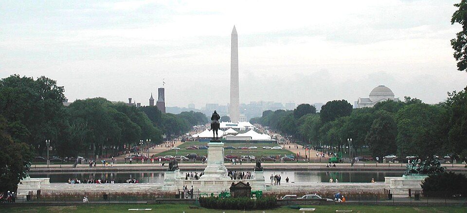
Big draw40 mi National MemorialWashington Monument204K visitors a year
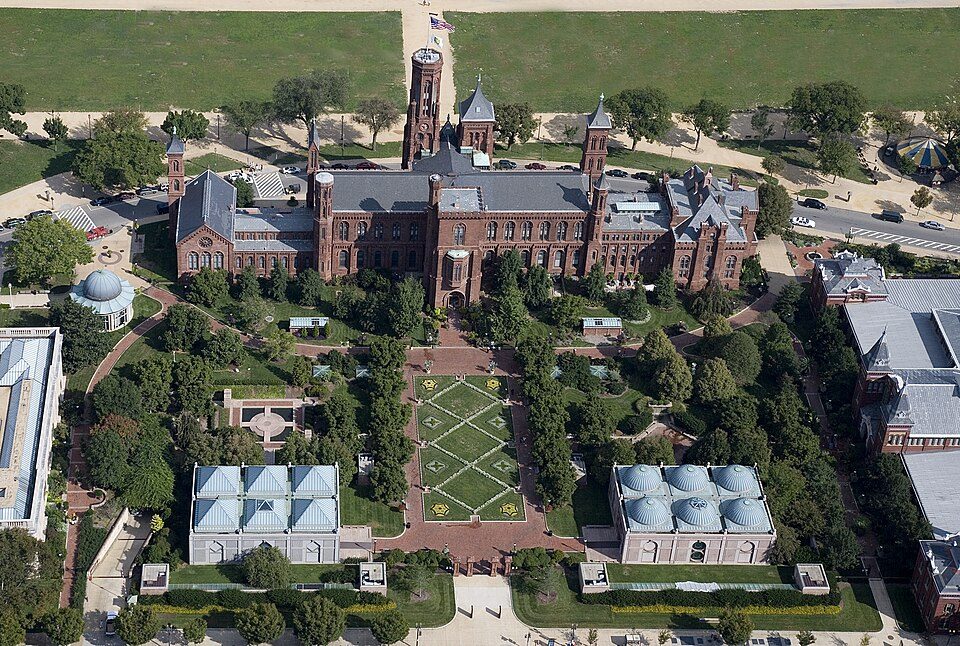
Big draw40 mi MuseumSmithsonian Institution30.0M visitors a year
Big draw32 mi Stadium & arenaNorthwest Stadium
Big draw40 mi National Historic SiteFord's Theatre National Historic Site394K visitors a year
Big draw39 mi National park siteNational Mall
Big draw39 mi MuseumNational Air and Space Museum6.9M visitors a yearWashington Monument: Oren Rozen, CC BY-SA 4.0 · Smithsonian Institution: Highsmith, Carol M., 1946-, photographer, Public domain · Northwest Stadium: Maryland GovPics, CC BY 2.0 · Ford's Theatre National Historic Site: Ingfbruno, CC BY-SA 3.0 · National Mall: Raul654 at en.wikipedia. Later version(s) were uploaded by Michael Shields at e, CC BY-SA 3.0 · National Air and Space Museum: David Bjorgen, CC BY-SA 3.0
None within 15 miles of Tilghman Island; the nearest are
About 4 of every 100 Tilghman Island residents are enrolled in college, against 7 across Maryland.
In a town this size, neighbors are the best guide. Ask them anything.
CDP in Maryland, United States
Tilghman Island is an island in the Chesapeake Bay. It is part of Talbot County, Maryland, United States.
From Wikipedia, licensed CC BY-SA 4.0 · facts via Wikidata (CC0)
Short answers, built from the data on this page.
Tilghman Island has fewer than 1,000 residents, too few for fair grades; the figures below are still real. Home to 2 places on the National Register of Historic Places.