MercersvilleMD
This town in Maryland has a population of 220.
Is Mercersville a good place to live?
Mercersville’s middle household income is $54,000, below both the Maryland town median ($113,000) and the median of U.S. towns ($80,000). 46% of the land in Mercersville is conserved, against 9.5% in Maryland’s towns and 4.3% across U.S. towns. Mercersville has fewer than 1,000 residents, too few for fair grades; the figures below are still real.
220 people, and everyone knows the way
In a town this size, neighbors are the best guide. Ask them anything.
Raven Rock Mountain Complex and 29 more within 40 miles
Museums, parks, gardens and other places to visit around Mercersville. Close and well known come first.
 Big draw25 mi LandmarkRaven Rock Mountain Complex
 Big draw31 mi LandmarkMount Weather Emergency Operations Center
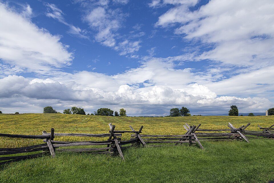 in town National BattlefieldAntietam National Battlefield161K visitors a year
 in town National Historical ParkChesapeake and Ohio Canal National Historical Park4.6M visitors a year
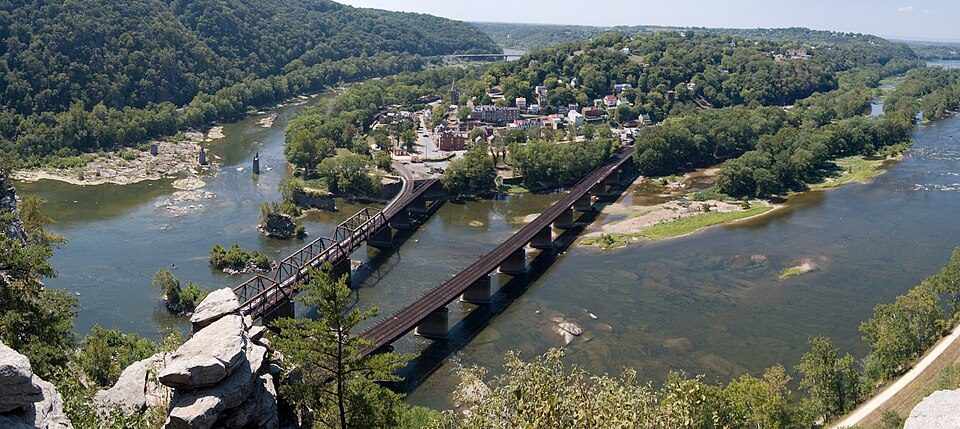 11 mi National Historical ParkHarpers Ferry National Historical Park538K visitors a year
 2 mi LandmarkDunker Church
Photo credits
Raven Rock Mountain Complex: US Government, Public domain · Mount Weather Emergency Operations Center: Unknown, Public domain · Antietam National Battlefield: Acroterion, CC BY-SA 4.0 · Chesapeake and Ohio Canal National Historical Park: Bonnachoven, CC0 · Harpers Ferry National Historical Park: Mark Fickett, CC BY 3.0 · Dunker Church: Doug Kerr from Albany, NY, United States, CC BY-SA 2.0


Moving to Mercersville: who provides what
Mercersville is unincorporated, so Washington County and regional agencies provide most services.
EPA SDWIS (Oct 9, 2026) · HIFLD + EIA-861 2025 · Census 2020 ZCTAs · NCES 2024–25 · registration: vote.gov, updated Mar 11, 2026.
The data
Ordered by what stands out in Mercersville.
Compared with most of Maryland and the rest of the country, trail density in Mercersville is higher
Count the trails in 1 park or preserve and they come to 1.4 miles. One park or preserve covers 46 acres in Mercersville.
| Biggest places to walk | Trails | Acres |
|---|---|---|
| 1. Chesapeake and Ohio Canal National Historical Park | 1.4 mi | 46 |
Trails & parks © OpenStreetMap contributors · Conserved land: USGS PAD-US
Low risk in Mercersville, with inland flooding at the top
Of the losses FEMA expects in Mercersville, 51% come from inland flooding and 15% from hurricanes. Compared with 77% of U.S. communities, expected storm and flood damage here is lower.
FEMA National Risk Index · OpenFEMA
The climate in Mercersville brings four seasons and pleasant summers
July afternoons reach 88° and January nights drop to 23°.
Typical low → high °F
NOAA U.S. Climate Normals, 1991–2020
How healthy Mercersville is
Mercersville: 11% of adults have diabetes. CDC measures, 32 in all: Mercersville beats Maryland on 8 and trails on 4. Nearly a quarter of adults in the town have been diagnosed with depression; 16% binge drink.
| Mercersville | Maryland towns | U.S. towns | |
|---|---|---|---|
| Food insecurity (CDC PLACES) | 10% | 14% | 14% |
| Depression (CDC PLACES) | 23% | 20% | 23% |
| Binge drink (CDC PLACES) | 16% | 14% | 16% |
| Smoke cigarettes (CDC PLACES) | 13% | 11% | 14% |
| What stands out | Mercersville | MD |
|---|---|---|
| Fewer adults facing food insecurity | 10.4% | 15.4% |
| Fewer adults facing housing insecurity | 9.3% | 13.5% |
| More adults with depression | 23.2% | 19.4% |
CDC PLACES 2025 · modeled estimates for adults · CMS · HRSA
Everything we know about Mercersville
Colleges nearby
4 within 15 miles of the center of Mercersville
About 0 of every 100 Mercersville residents are enrolled in college, against 7 across Maryland.
About Mercersville
Unincorporated community in Maryland, United States
Mercersville, popularly known as Taylor's Landing, is an unincorporated community and census-designated place in Washington County, Maryland, United States. Its population was 130 as of the 2010 census. Mercersville lies at an elevation of 341 feet (104 m).
From Wikipedia, licensed CC BY-SA 4.0 · facts via Wikidata (CC0)
- Area
- 0.3 sq mi
- Elevation
- 341 ft
Questions about Mercersville
Short answers, built from the data on this page.
Is Mercersville, MD a good place to live?
Mercersville has fewer than 1,000 residents, too few for fair grades; the figures below are still real.