171 years in pictures
The archive holds 6 old photos and papers going back to 2016.
- 1855Downsville is settled
Each edition grades its towns against each other only.
Only 5 of the 262 Maryland towns we compare have a lower share of adults with a bachelor’s degree than Downsville. Downsville has fewer than 1,000 residents, too few for fair grades; the figures below are still real.
Where Downsville beats most towns.
In a town this size, neighbors are the best guide. Ask them anything.

The archive holds 6 old photos and papers going back to 2016.
Museums, parks, gardens and other places to visit around Downsville. Close and well known come first.
Big draw24 mi LandmarkRaven Rock Mountain Complex
Big draw34 mi LandmarkMount Weather Emergency Operations Center
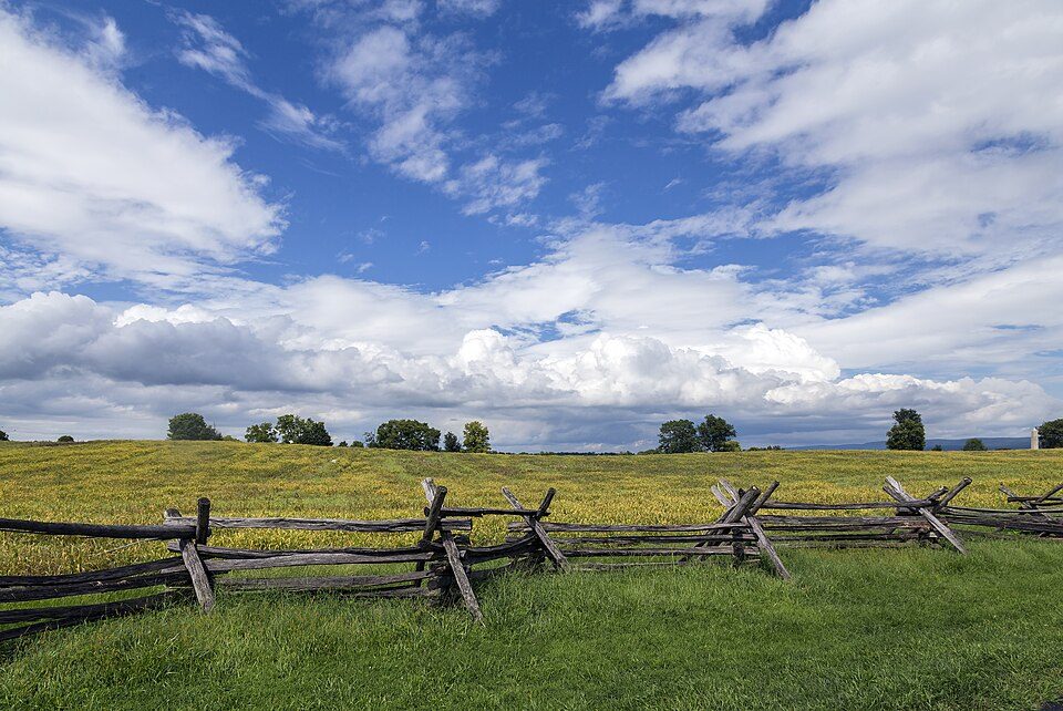
5 mi National BattlefieldAntietam National Battlefield161K visitors a year
2 mi National Historical ParkChesapeake and Ohio Canal National Historical Park4.6M visitors a year
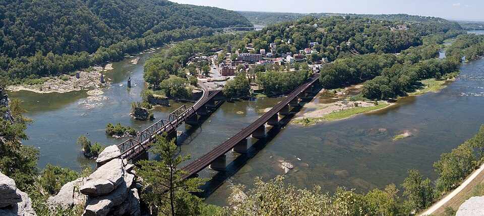
15 mi National Historical ParkHarpers Ferry National Historical Park538K visitors a year
35 mi Ancient siteGettysburg BattlefieldRaven Rock Mountain Complex: US Government, Public domain · Mount Weather Emergency Operations Center: Unknown, Public domain · Antietam National Battlefield: Acroterion, CC BY-SA 4.0 · Chesapeake and Ohio Canal National Historical Park: Bonnachoven, CC0 · Harpers Ferry National Historical Park: Mark Fickett, CC BY 3.0 · Gettysburg Battlefield: Veggies, Public domain
Downsville is unincorporated, so Washington County and regional agencies provide most services.
EPA SDWIS (Oct 9, 2026) · HIFLD + EIA-861 2025 · Census 2020 ZCTAs · NCES 2024–25 · registration: vote.gov, updated Mar 11, 2026.
Ordered by what stands out in Downsville.
The FEMA risk score for Downsville comes to 8 of 100. Expected losses in Downsville break down as 48% from inland flooding and 16% from hurricanes.
FEMA National Risk Index · OpenFEMA
Downsville’s average trip to work is 26 minutes, below Maryland’s towns (32 minutes) and close to U.S. towns (25 minutes). The top destinations are Hagerstown (16%), Frederick (9%) and Robinwood (7%).
Census LEHD 2023 · ACS
July afternoons reach 88° and January nights drop to 23°.
NOAA U.S. Climate Normals, 1991–2020
The share of adults in Downsville who sleep under 7 hours: 35%. The town does better than the Maryland average on 8 of 32 CDC measures and worse on 4. Among adults in the town, 39% have high blood pressure, above both the Maryland town median (35%) and the median of U.S. towns (35%).
| Downsville | Maryland towns | U.S. towns | |
|---|---|---|---|
| Food insecurity (CDC PLACES) | 8.6% | 14% | 14% |
| Feel lonely (CDC PLACES) | 31% | 34% | 33% |
| High blood pressure (CDC PLACES) | 39% | 35% | 35% |
| Frequent mental distress (CDC PLACES) | 15% | 15% | 17% |
| What stands out | Downsville | MD |
|---|---|---|
| Fewer adults facing food insecurity | 8.6% | 15.4% |
| Fewer adults facing housing insecurity | 8.1% | 13.5% |
| More adults who have had cancer | 11.4% | 7.6% |
CDC PLACES 2025 · modeled estimates for adults · CMS · HRSA
Census ACS, 2020–24 · Zillow Home Value Index · Redfin Data Center
4 within 15 miles of the center of Downsville
College town 19 of every 100 Downsville residents are enrolled in college, against 7 across Maryland.
Where Downsville’s working residents go each day. Line width shows the share.
Census LEHD 2023
Unincorporated community in Maryland, United States
Downsville is an unincorporated community and census-designated place (CDP) in southwestern Washington County, Maryland, United States. Its population was 355 as of the 2010 census. It is located southeast of Williamsport on Maryland Route 63 and on Maryland Route 632, southwest of Hagerstown. It is officially included in the Hagerstown Metropolitan Area (Hagerstown-Martinsburg, MD-WV Metropolitan Statistical Area).
From Wikipedia, licensed CC BY-SA 4.0 · facts via Wikidata (CC0)
Short answers, built from the data on this page.
Downsville has fewer than 1,000 residents, too few for fair grades; the figures below are still real.