
US 1901 New York Machine Cancel to Turners Falls MA Cover front, 1900s
Turners Falls’s story
158 years in pictures
The archive holds 6 old photos and papers going back to 1900.
- 1868Turners Falls is founded
Each edition grades its towns against each other only.

A town of 4,124, founded in 1868.
Among 284 Massachusetts towns, just 3 have a lower median household income than Turners Falls. Turners Falls’ trail density is 1.4 miles per square mile, against 1.8 in Massachusetts’ towns and 0.4 across U.S. towns. We don’t grade Turners Falls yet; the figures below are still real.
Where Turners Falls’s working residents go each day. Line width shows the share.
Census LEHD 2023
The archive holds 6 old photos and papers going back to 1900.
Museums, parks, gardens and other places to visit around Turners Falls. Close and well known come first.
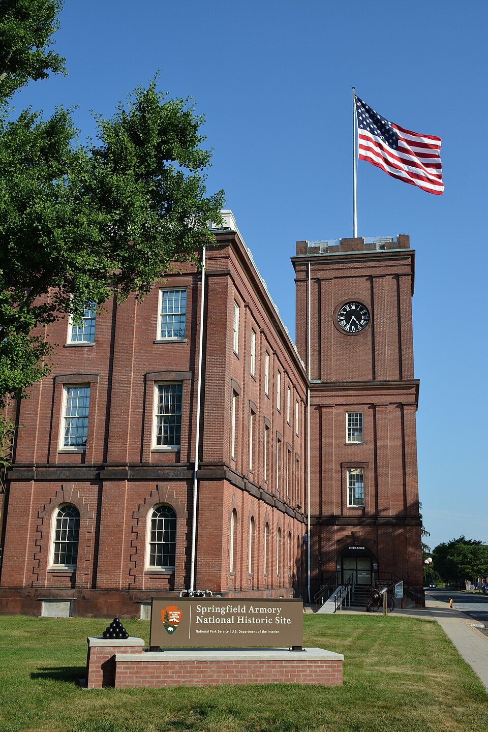 34 mi National Historic SiteSpringfield Armory National Historic Site14K visitors a year
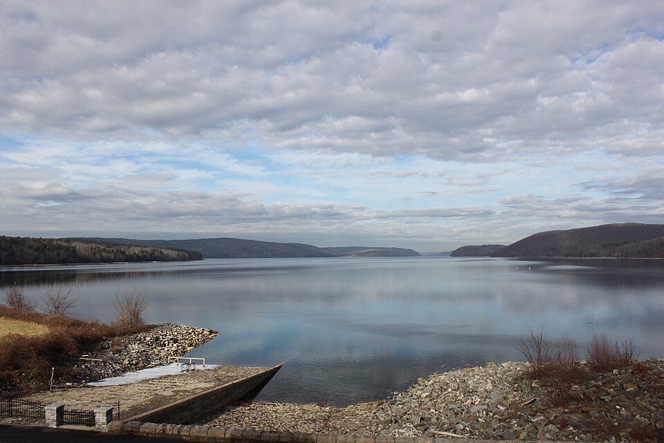 21 mi LakeQuabbin Reservoir
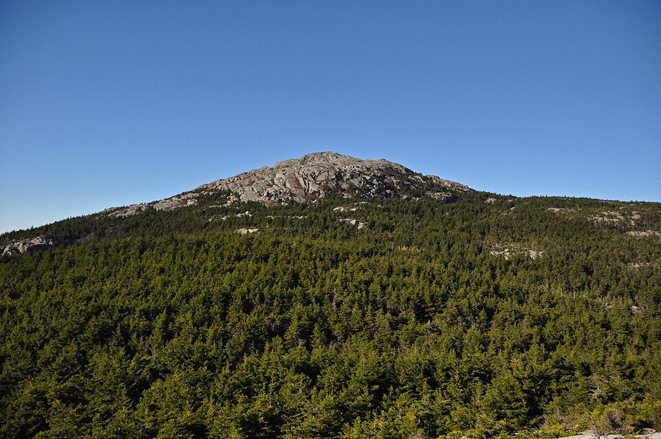 29 mi MountainMount Monadnock
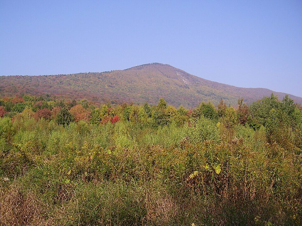 31 mi MountainMount Greylock
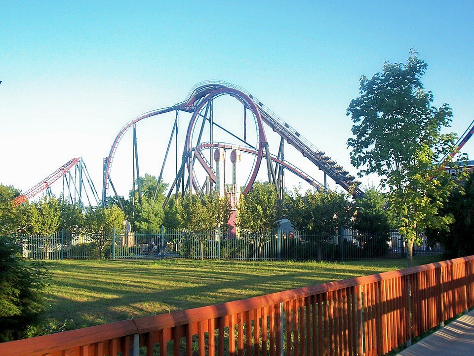 39 mi Theme parkSix Flags New England
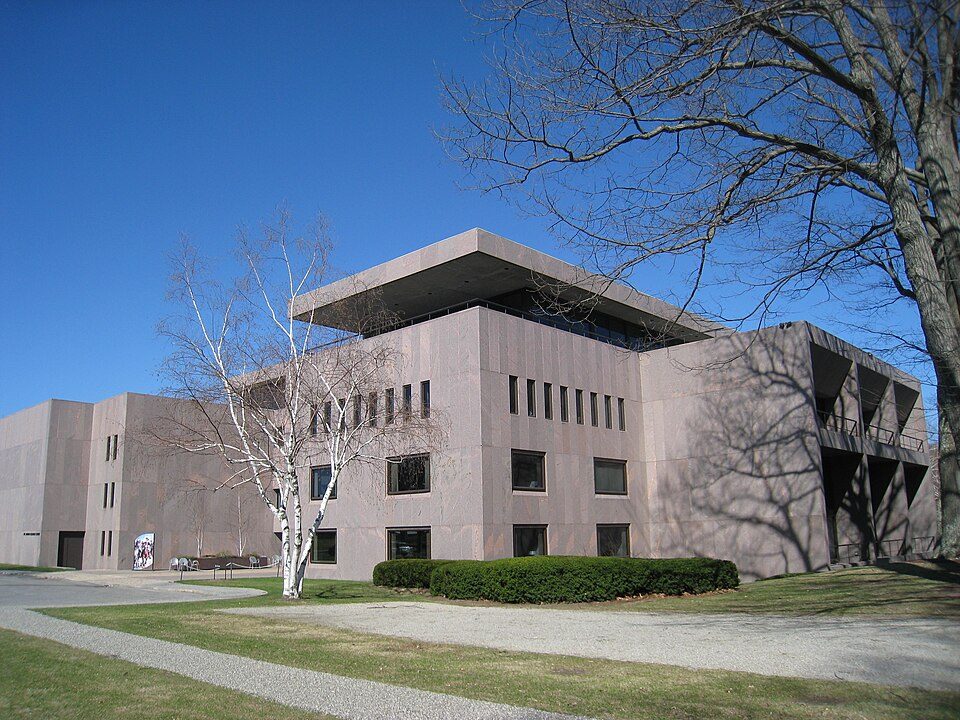 34 mi MuseumClark Art Institute
Springfield Armory National Historic Site: National Park Service, Public domain · Quabbin Reservoir: engineerchange, CC BY 2.0 · Mount Monadnock: Jonwmcinenrey, CC BY-SA 4.0 · Mount Greylock: Jstergis, CC BY 3.0 · Six Flags New England: Canadaolympic989, Public domain · Clark Art Institute: Daderot, Public domain
Turners Falls is unincorporated, so Franklin County and regional agencies provide most services.
EPA SDWIS (Oct 9, 2026) · HIFLD + EIA-861 2025 · Census 2020 ZCTAs · NCES 2024–25 · registration: vote.gov, updated Nov 18, 2024.
Ordered by what stands out in Turners Falls.
The typical Turners Falls home is worth about $330,000, up 3.3% in a year, 50% below the Massachusetts typical home. 56% of households own their home in Turners Falls, below both Massachusetts’ towns (79%) and U.S. towns (73%). Turners Falls’ median rent is $1,116 a month.
| Turners Falls | Massachusetts towns | U.S. towns | |
|---|---|---|---|
| Households that own their home | 56% | 79% | 73% |
| Median rent | $1,116 a month | $1,683 a month | $1,185 a month |
Census ACS, 2020–24 · Zillow Home Value Index · Redfin Data Center
6.6% of Turners Falls workers work from home. Most working residents leave Turners Falls for work: only 7% work in town. The average trip to work in Turners Falls is 18 minutes.
| Turners Falls | Massachusetts towns | U.S. towns | |
|---|---|---|---|
| Average trip to work | 18 minutes | 30 minutes | 25 minutes |
| Work from home | 6.6% | 18% | 11% |
| Below the poverty line | 12% | 6% | 9.6% |
| Working residents who work in town | 7.1% | 9.8% | 8% |
Census LEHD 2023 · ACS
Turners Falls has cold, snowy winters and warm summers, with plenty of rain. July afternoons reach 85°, January nights drop to 15° and about 46 inches of snow falls in a winter.
NOAA U.S. Climate Normals, 1991–2020
| Biggest places to walk | Trails | Acres |
|---|---|---|
| 1. Unity Park | 0.1 mi | 9 |
| 2. Peskeomskut Park | 0.2 mi | 3 |
| 3. Connecticut River Greenway State Park | — | 1 |
Trails & parks © OpenStreetMap contributors · Conserved land: USGS PAD-US
Turners Falls beats the Massachusetts average on 0 of 32 CDC measures and trails it on 10. 27% of adults have been diagnosed with depression in Turners Falls.
| Turners Falls | Massachusetts towns | U.S. towns | |
|---|---|---|---|
| Depression (CDC PLACES) | 27% | 24% | 23% |
| Frequent physical distress (CDC PLACES) | 15% | 12% | 14% |
| Frequent mental distress (CDC PLACES) | 18% | 16% | 17% |
| Feel lonely (CDC PLACES) | 35% | 33% | 33% |
| What stands out | Turners Falls | MA |
|---|---|---|
| More adults with COPD | 8.4% | 5.9% |
| More smokers | 15.1% | 11.3% |
| More adults facing a utility shut-off | 8.8% | 7% |
CDC PLACES 2025 · modeled estimates for adults · CMS · HRSA
Expected storm and flood damage is higher than in 54% of U.S. communities.
FEMA National Risk Index · OpenFEMA
2 within 15 miles of the center of Turners Falls
About 2 of every 100 Turners Falls residents are enrolled in college, against 8 across Massachusetts.
Census-designated place in Massachusetts, United States
Turners Falls is an unincorporated village and census-designated place in the town of Montague in Franklin County, Massachusetts, United States. The population was 4,512 at the 2020 census. It is part of the Springfield, Massachusetts Metropolitan Statistical Area. Its name is often used as a metonym for the entire town of Montague, for which it is the business district and comprises more than half the population.
From Wikipedia, licensed CC BY-SA 4.0 · facts via Wikidata (CC0)
3 towns share a border with Turners Falls.
| Town | MA rank | Overall | Cost | Safety | Schools | Health |
|---|---|---|---|---|---|---|
| Turners Falls | — | — | — | — | — | — |
| Montague | #258 | D | C− | C+ | D | B+ |
| Greenfield | #274 | D | C− | C− | D− | B |
| Gill | — | — | C− | B+ | D | A− |
Gill has fewer than 2,500 residents, so it gets subject grades but no overall grade. Turners Falls isn’t graded (fewer than 1,000 residents, or not enough data). Compare Turners Falls with a neighbor →
Short answers, built from the data on this page.
We don’t grade Turners Falls yet; the figures below are still real.


