The picture is mixed. Sunderland ranks 194th of 282 in Massachusetts, with a B− overall. On that grade it does better than 52% of U.S. towns. Where it does best is health: CDC estimates put its residents' health ahead of 89% of the country. It also does well on walkability: it is more walkable than 87% of U.S. towns. Its lowest grade is for cost of living: the typical home is worth about $486K, 6.5 years of the Greenfield area’s $75K median household income. Just over two fifths of the land here is conserved, where Massachusetts’ towns sit at 19% and U.S. towns at 4.3%. This Massachusetts town has 1 place on the National Register.
Figures: health, CDC PLACES · home values, Zillow · incomes, Census ACS, 2020–24 · USGS PAD-US · National Register of Historic Places.
Sunderland is shaped by its college students and is safe by national standards but not by Massachusetts’s; it also carries more natural-hazard risk than most of Massachusetts (mostly inland flooding).
Its 3,829 conserved acres are a larger share of the town than in 96% of Massachusetts towns.
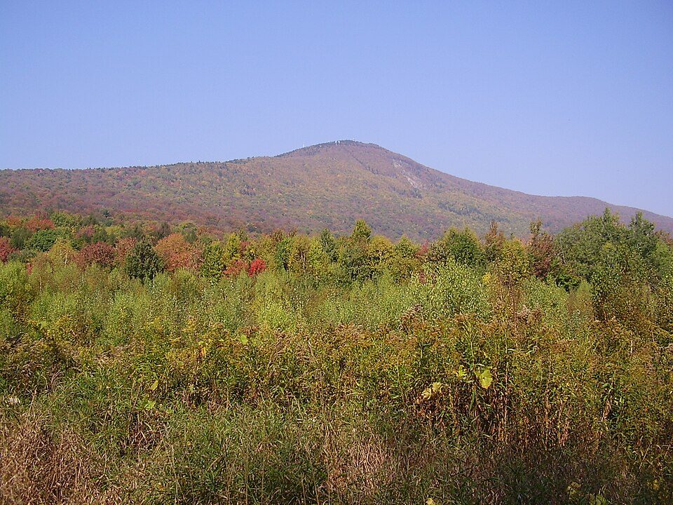
Sunderland’s trail density comes in at 2.4 miles per square mile. In 10 parks and preserves, walkers have 35 miles of trail. The biggest place to walk is Mount Toby State Forest, 1,252 acres with 12 miles of trail.
Within Massachusetts it is healthier than 58% of the 279 graded towns: Massachusetts sets a high bar.
For adults in Sunderland, the share who report frequent physical distress is 11%. The town does better than the Massachusetts average on 6 of 32 CDC measures and worse on 2. 36% of adults in Sunderland feel lonely; 28% have high blood pressure.
The average commute for its 1,360 working residents takes 17.3 minutes, against 29.1 across Massachusetts.
Among 283 Massachusetts towns, just 6 have a lower share of working residents who work in town than Sunderland. Employers in Sunderland added 84 jobs between 2013 and 2023, to 800. The share of residents in Sunderland who live below the poverty line: 14%. Half the trips to work are shorter than 11 miles.
4%work in town
Sunderland
Massachusetts towns
U.S. towns
Average trip to work
17 minutes
30 minutes
25 minutes
Median household income
$68,000
$120,000
$80,000
Below the poverty line
14%
6%
9.6%
Working residents who work in town
4.3%
9.9%
8%
Where working residents work
In Sunderland4%
Northampton12%
Amherst Town11%
Springfield7%
Whately6%
11 mi
median commute distance
800
jobs based in Sunderland
A commuter town
jobs vs. working residents
A
Walkability grade: more walkable than 87% of U.S. towns
72.1% of renter households pay 30% or more of their income for housing, against 51.8% across Massachusetts.
Just over two fifths of Sunderland households are owner-occupiers. The typical home value here is about $486,000, up 1% in a year, 26% below the Massachusetts typical home. In Sunderland, the rent at the middle of the market is $1,672 a month.
FEMA rates its natural-hazard risk higher than 91% of Massachusetts towns; that rating is what its C+ for hazard risk is built on.
FEMA puts 63% of Sunderland’s expected hazard losses down to inland flooding, and 9% to drought. Its risk rating from FEMA is 58 of 100. Since 2005, Sunderland has seen 3 flood insurance claims paid out.
Sunderland is a town in Franklin County, Massachusetts, United States, part of the Pioneer Valley. The population was 3,663 at the 2020 census. It is part of the Springfield, Massachusetts Metropolitan Statistical Area. Sunderland was first settled in 1713 and was officially incorporated in 1718. It was first known as Swampfield, a name which is now honored by Swampfield Road, but the name was changed to attract more residents. It was renamed in honor of Charles Spencer, the Earl of Sunderland. Historically, the land was largely used for farming. Before the incorporation of Leverett in 1774, that town was a part of Sunderland's territory.
Whately and Leverett have fewer than 2,500 residents, so they get subject grades but no overall grade. South Deerfield isn’t graded (fewer than 1,000 residents, or not enough data). Compare Sunderland with a neighbor →
Questions about Sunderland
Short answers, built from the data on this page.
Is Sunderland, MA a good place to live?
Sunderland grades B− overall, better than 52% of U.S. towns and #194 of 282 in Massachusetts. It grades A for health, B+ for safety and B− for schools. Cost of living is its weak spot, with a D−.
Is Sunderland, MA expensive?
Yes. Cost of living, which also weighs rents, property taxes and how many households pay 30% or more of their income for housing, grades D−.
What is Sunderland, MA known for?
2 notable people were born here, including Charles B. Andrews and Myron Hunt.


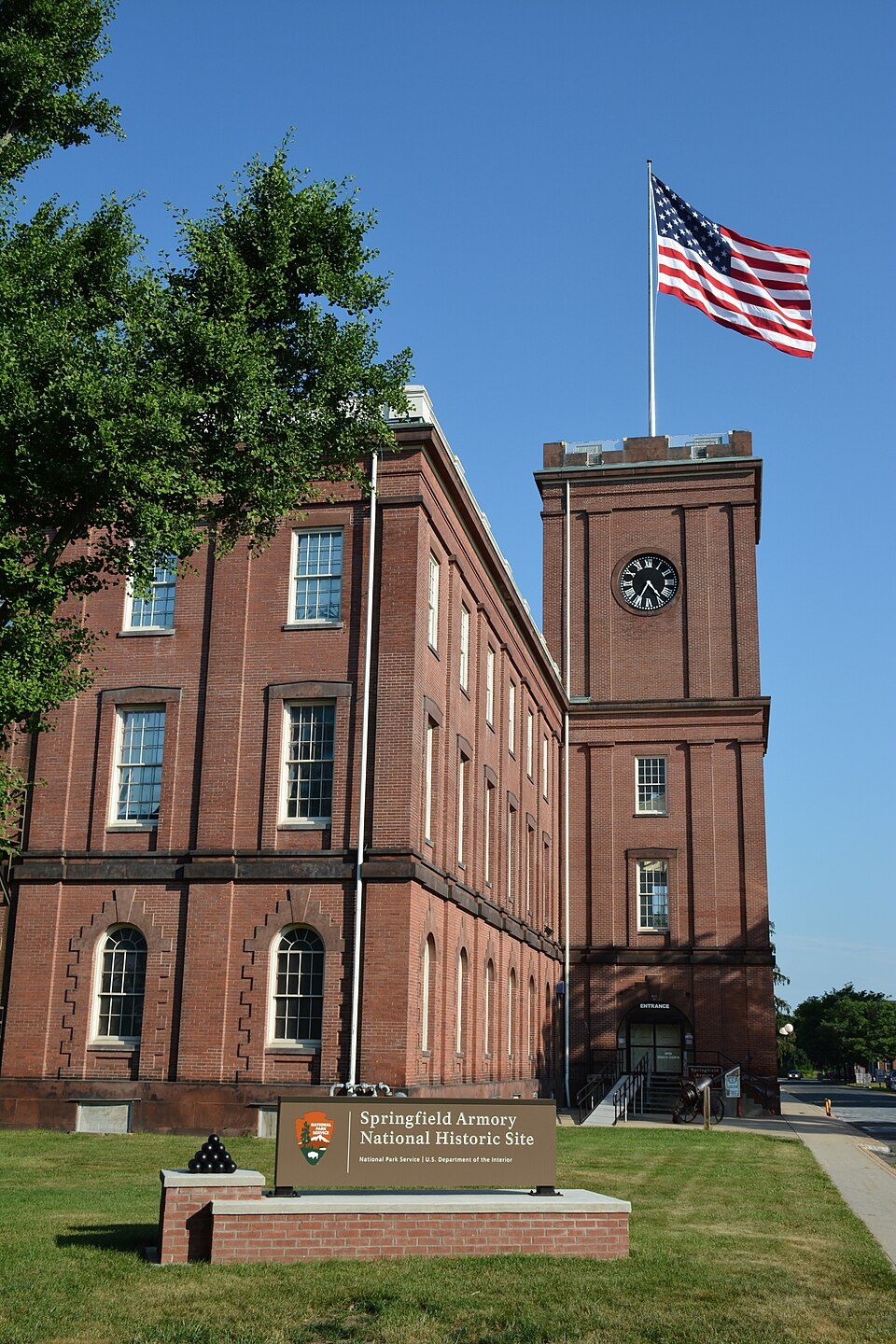 25 mi
 15 mi
 34 mi
 35 mi
 30 mi
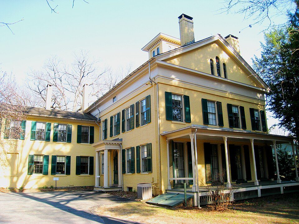 7 mi


