Norton dates to 1669, and 11% of its homes were built before 1940
More historic than 82% of U.S. towns · #215 of 283 in Massachusetts. What drives it
3 places in town are on the National Register, among them two historic districts with 60 buildings between them. Below: 16 old photos and papers, maps from 1885 on, and the census since 1790.
Founding year: Wikidata. First post office: 1815.The full story ↓
History grade
What drives Norton’s History grade
On its age, its old homes and the National Register, Norton is more historic than 82% of U.S. towns, #215 of 283 in Massachusetts. Its age holds the grade up; its share of homes from before 1940 pulls it down.
A−
HistoryA character grade: shown, never part of Norton’s overall grade.
Massachusetts towns list more on the Register than most of the country (a typical Massachusetts town has 46.0 per 10,000 residents, the U.S. 2.4), so Norton’s 32.2 sits near the middle of its state (41% of Massachusetts towns have fewer) while its 62 historic buildings outnumber those of 86% of U.S. towns.
NoteThe founding year comes from Wikidata alone; no second source gives 1669.
How sure. Graded on any two of the three inputs instead, the letter would range from B to A. The pre-1940 share (±2.5 points) is firm at this size.
Founding year: Wikidata (other dates in Quick answers). Homes: Census ACS 2020–24. National Register: National Park Service, May 2026 list; each listing counted once (boundary changes and added documentation belong to their listing), and a historic district counts its contributing buildings. How TownRatings grades history →
What stands out about Norton’s past
Read from the archive, the National Register and the record. The page puts what stands out first.
The lands of Norton remained unsettled by English colonists for many years after their initial arrival on the eastern Massachusetts coast. But by the late 1640s, the townships of Rehoboth and Taunton were looking to expand their boundaries further inland. The settlement of Rehoboth bought the lands north of it—what would become Attleboro—from Wamsutta in the 1666 North Purchase. The residents of Taunton were also looking to acquire more land to develop, cutting the forest back and using felled timber to feed construction and fuel industries, and settle the cleared grounds into meadows and pastureland. Norton was first legally settled by European colonists after the Taunton North Purchase in 1668. This deed of purchase from Metacomet entitled the residents of Taunton to the lands north of their current settlement—the forests, cedar swamps, rivers, meadows, and lakes that would become est…
Passages that mention Norton, cut from the printed page as they were published.
History of Bristol County, Massachusetts, with biographical sketches of many of its pioneers and prominent men1883 · page 424Read the page →
Read the text
Ecclesiastical. — From 1711 to 1725 the territory now embraced in the town of Easton was part of the town of Norton. In 1717 the inhabitants of this territory, being in sufBcient number, as they judged, to establish a religious society and to support a minister, petitioned the General Court to be set apart as a separate precinct. This permission was subsequently granted, and on June 5, 1718, what is now the town
Text read by machine from the scan; it may contain errors.
History of Bristol County, Massachusetts, with biographical sketches of many of its pioneers and prominent men1883 · page 436Read the page →
Read the text
1732 the Groves and Skinners, and Wellmans and Leonards, and Williams and others, to the number of twenty-five or thirty families, having for many years attended meeting in Taunton, Norton, orWrentham, determined to separate themselves from the Norton Church or Norton North Purchase, and they mustered all the heads of families and all permitted to vote in parish affairs, and started for Norton meet-
Text read by machine from the scan; it may contain errors.
Scans and text from the Internet Archive. Books published in 1930 or earlier, which are in the public domain.
By decade
Norton, decade by decade
9 decades in the archive, from the 1790s to the 1970s. Scroll each row; tap a photo for its story.
Nothing in the archives for these yearsWeddings on Main Street, storms, parades, school pictures, the old store. If it’s in your family album, it belongs here.
Nothing in the archives for these yearsWeddings on Main Street, storms, parades, school pictures, the old store. If it’s in your family album, it belongs here.
In 1669, according to Wikidata. Norton’s post office opened in 1815, and the first U.S. census counted 1,428 people here in 1790.
How does Norton rank for history?
Norton is more historic than 82% of U.S. towns, #215 of 283 in Massachusetts. The History grade combines the town’s founding era, the share of homes built before 1940 and its National Register listings. It’s a character grade, so it isn’t part of the overall grade. How it works.
What is on the National Register in Norton?
Three places: the Pitt Clarke House (listed 1976), the Norton Center Historic District (1977) and the Old Bay Road (1974).
How old are the homes in Norton?
11% of Norton’s homes were built before 1940 (Census estimate, ±2.5 points), against a typical 21% for a Massachusetts town; the median home was built in 1982.
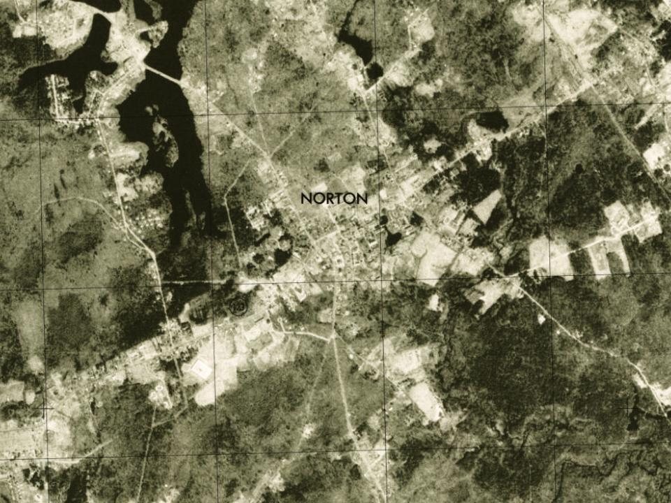
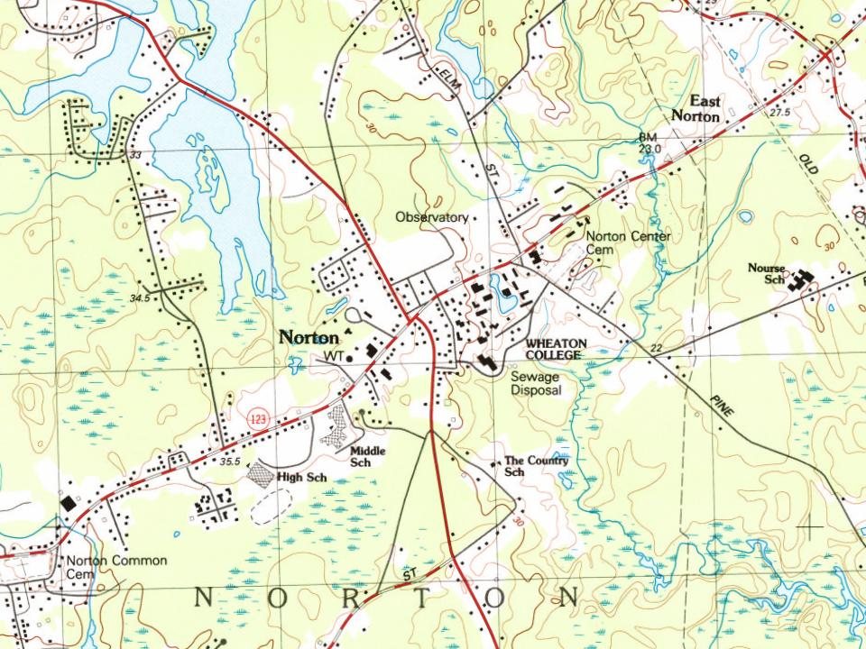
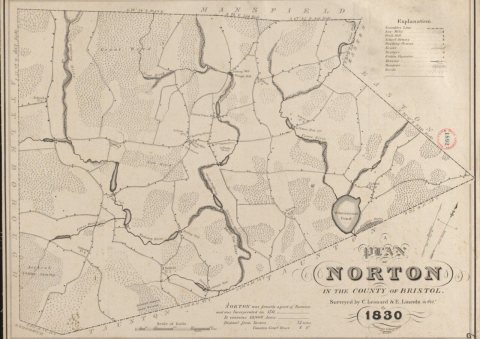
Founding dates: Wikidata, Wikipedia, the U.S. post office records of Blevins & Helbock (CC0) and the Census. Homes by year built: Census ACS 2020–24. National Register of Historic Places: National Park Service (list of May 22, 2026). Old photos, postcards and papers: Wikimedia Commons, the Library of Congress and other public archives, credited on each item’s page. Maps: U.S. Geological Survey historical topographic maps (via Esri) and Sanborn fire-insurance maps (Library of Congress). History text and census tables: Wikipedia (CC BY-SA 4.0). Places that used to be: USGS Geographic Names Information System (2021).
From Wikimedia Commons (15), the Library of Congress (2), Wikidata (1), the National Register of Historic Places (3), Wikipedia, Wikidata and Wikipedia for famous people, U.S. Geological Survey historical maps, U.S. Census counts (via Wikipedia), the US Post Offices dataset (Blevins & Helbock), the USGS Geographic Names Information System and old county and town histories (Internet Archive). Archive images are copied here with their credits and licenses, shown on each photo’s page. Refreshed monthly.


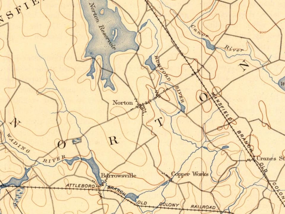
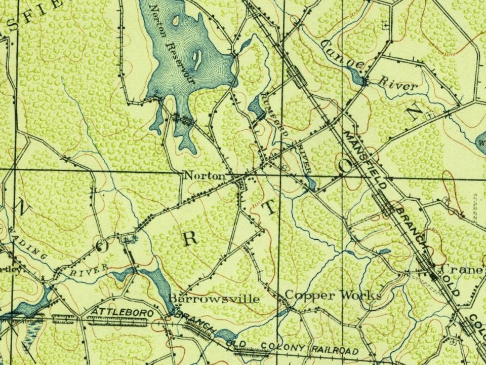
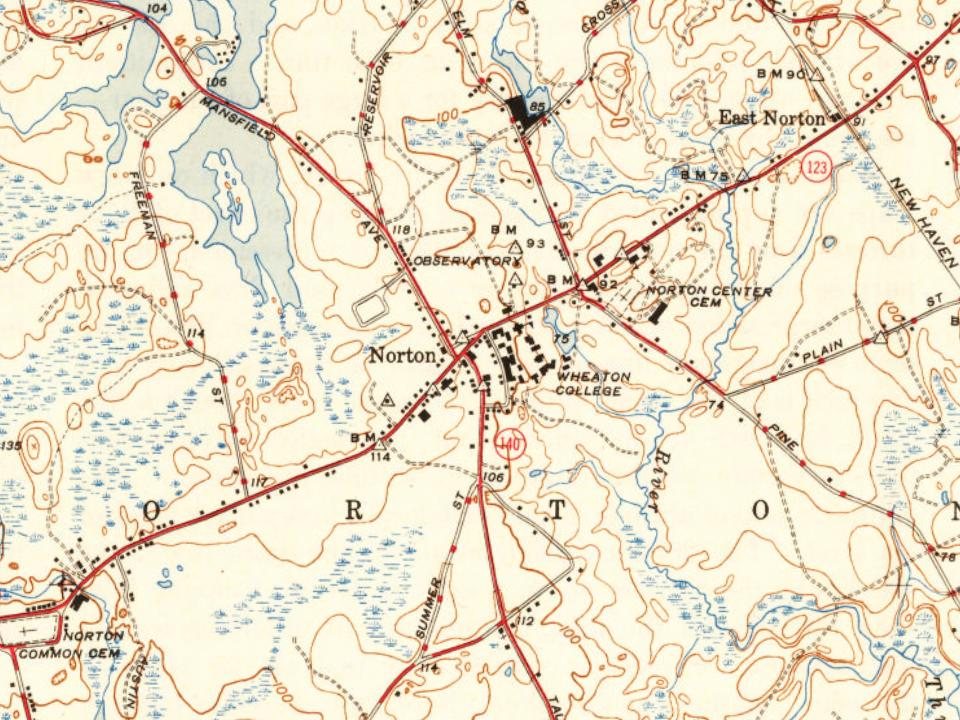
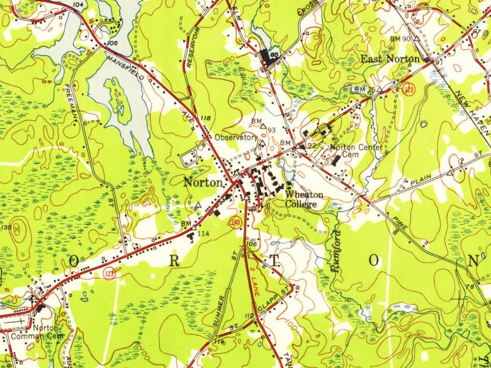





 1901–1907
 1907–1915
 1907–1915
 1907–1915
 1907–1915
 1919
 1919
 1926
 c. 1930
 1971
 2003


