Lancaster dates to 1643, and 20% of its homes were built before 1940
More historic than 95% of U.S. towns · #75 of 283 in Massachusetts. What drives it
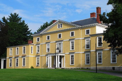
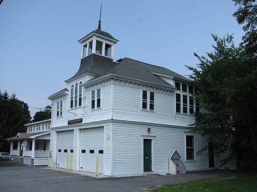
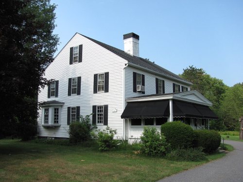
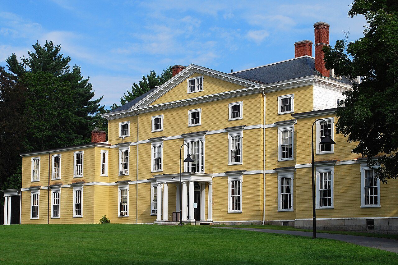
17 places in town are on the National Register, among them the First Church of Christ, Lancaster, a National Historic Landmark, and six historic districts with 214 buildings between them. Below: 1 old photo or paper, maps from 1887 on, and the census since 1790.
Founding year: Wikidata; Wikipedia’s history section gives the same year. First post office: 1794.The full story ↓
History grade
What drives Lancaster’s History grade
On its age, its old homes and the National Register, Lancaster is more historic than 95% of U.S. towns, #75 of 283 in Massachusetts. All 3 inputs are above most U.S. towns; its age ranks highest and its share of homes from before 1940 lowest.
A+
HistoryA character grade: shown, never part of Lancaster’s overall grade.
Massachusetts towns list more on the Register than most of the country (a typical Massachusetts town has 46.0 per 10,000 residents, the U.S. 2.4), so Lancaster’s 257 sits above most of its state (81% of Massachusetts towns have fewer) while its 221 historic buildings outnumber those of 94% of U.S. towns.
How sure. Graded on any two of the three inputs instead, the letter would range from A to A+. The pre-1940 share is a Census survey estimate (±5.8 points). Two sources give 1643.
Founding year: Wikidata (other dates in Quick answers). Homes: Census ACS 2020–24. National Register: National Park Service, May 2026 list; each listing counted once (boundary changes and added documentation belong to their listing), and a historic district counts its contributing buildings. How TownRatings grades history →
What stands out about Lancaster’s past
Read from the archive, the National Register and the record. The page puts what stands out first.
The country’s official list of buildings and places worth saving. One is a National Historic Landmark, the highest tier. Boundary changes and added documentation are counted with their listing.
In 1643 Lancaster was first settled as "Nashaway" (named after the local Nashaway Native American tribe) by a group of colonists known as the Nashaway Company who may have initially been interested in iron deposits in the area. Several of the company were blacksmiths or gunsmiths, including, Herman Garrett, and as early as 1653 a settler, George Adams, was whipped for selling guns and alcohol to the Indians in the area. The town was officially incorporated and renamed "Lancaster on the Nashua" in 1653. Prominent Massachusetts military leader Simon Willard served as an advisor to the company and eventually settled in Lancaster for a period, and provided guns to the local tribe by order of the Massachusetts General Court.
Passages that mention Lancaster, cut from the printed page as they were published.
The military annals of Lancaster, Massachusetts. 1740-1865. Including lists of soldiers serving in the colonial and revolutionary wars, for the Lancastrian towns1889 · page 151Read the page →
Read the text
Lancaster, Sept. 8, 1777, State of Massachusetts Bay. According to a Resolve of this state of Dec. 9, 1776, Directed to the Selectmen to take the Number of their Male Inhabitants from sixteen years old and upwards, and Deliver the same into the Secretary's office on or before the Last Day of January 1777, in Compliance with orders Rec*!.
Text read by machine from the scan; it may contain errors.
The military annals of Lancaster, Massachusetts. 1740-1865. Including lists of soldiers serving in the colonial and revolutionary wars, for the Lancastrian towns1889 · page 98Read the page →
Read the text
Lancaster, December 12, 1774. At a meeting of the Freeholders & other Inhabitants of the town of Lancaster by adjournment, the Meeting being Opened, Passed the Following Votes, viz : Voted, to choose a Committee of 3 Persons to Draw up an Association League & Covenant for Nonconsumption of Goods, «S:c., for the Inhabitants to sign.
Text read by machine from the scan; it may contain errors.
Carter, a genealogy of the descendants of Samuel and Thomas, sons of Rev. Samuel Carter1887 · page 196Read the page →
Read the text
Sketch of John Carter; 2518. John' Carter (5), (Rev. Samuel,' Rev. Thomas/) was born in Woburn, Mass., Mar. 14, 1680, and resided for a time on the paternal estate in Lancaster. He suffered loss of cattle, etc., in the summer of 1704, when the Indians beset the town of Lancaster and fired the Nathaniel Wilder garrison on George Hill. He died Mar.
Text read by machine from the scan; it may contain errors.
Lancastriana. I. A supplement to the Early records and Military annals of Lancaster, Massachusetts1900 · page 18Read the page →
Read the text
106. On September 8, 1675, the Council ordered fifty men to be detailed from Norfolk and Middlesex counties for assignment among the garrisons of Lancaster, Groton and Dunstable. At the Lancaster garrisons, January 25, 1676, there were fourteen soldiers on duty from other places, as shown by Treasurer Hull's accounts. (See Rev. George M.
Text read by machine from the scan; it may contain errors.
Scans and text from the Internet Archive. Books published in 1930 or earlier, which are in the public domain.
By decade
Lancaster, decade by decade
One decade in the archive so far: the 1820s. Scroll each row; tap a photo for its story.
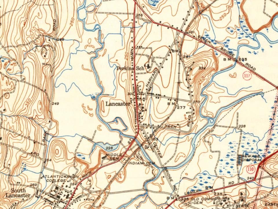
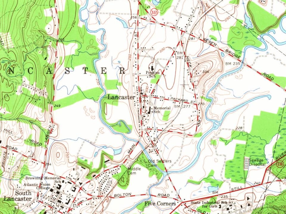
Every edition of the U.S. Geological Survey’s map of Lancaster. Tap a year, or press play to watch the town change.
1887Marlboro sheet · 1:62,500
U.S. Geological Survey historical topographic maps (public domain), via Esri’s collection of the scans. The red ring marks the center of Lancaster.
Every building
Lancaster, building by building, 1910–1922
Fire insurance maps drew every building, what it was made of and what it was used for, so insurers could price the risk of fire. Pick a year, then a sheet.
In 1643, according to Wikidata and Wikipedia’s history of the town. Lancaster’s post office opened in 1794, and the first U.S. census counted 1,460 people here in 1790.
How does Lancaster rank for history?
Lancaster is more historic than 95% of U.S. towns, #75 of 283 in Massachusetts. The History grade combines the town’s founding era, the share of homes built before 1940 and its National Register listings. It’s a character grade, so it isn’t part of the overall grade. How it works.
What is on the National Register in Lancaster?
17 listings: 5 buildings, among them the First Church of Christ, Lancaster (a National Historic Landmark since 1970), 6 historic districts with 214 contributing buildings, 5 sites, and 2 structures. 221 historic buildings in all.
How old are the homes in Lancaster?
20% of Lancaster’s homes were built before 1940 (Census estimate, ±5.8 points), against a typical 21% for a Massachusetts town; the median home was built in 1971.
Founding dates: Wikidata, Wikipedia, the U.S. post office records of Blevins & Helbock (CC0) and the Census. Homes by year built: Census ACS 2020–24. National Register of Historic Places: National Park Service (list of May 22, 2026). Old photos, postcards and papers: Wikimedia Commons, the Library of Congress and other public archives, credited on each item’s page. Maps: U.S. Geological Survey historical topographic maps (via Esri) and Sanborn fire-insurance maps (Library of Congress). History text and census tables: Wikipedia (CC BY-SA 4.0). Places that used to be: USGS Geographic Names Information System (2021).
From Wikimedia Commons (1), Wikidata (5), the National Register of Historic Places (18), Wikipedia, Wikidata and Wikipedia for famous people, U.S. Geological Survey historical maps, U.S. Census counts (via Wikipedia), the US Post Offices dataset (Blevins & Helbock), the USGS Geographic Names Information System, Sanborn fire insurance maps (Library of Congress) and old county and town histories (Internet Archive). Archive images are copied here with their credits and licenses, shown on each photo’s page. Refreshed monthly.


 ★ Landmark