Hadley dates to 1659, and 24% of its homes were built before 1940
Among the most historic 1% of U.S. towns · #33 of 283 in Massachusetts. What drives it
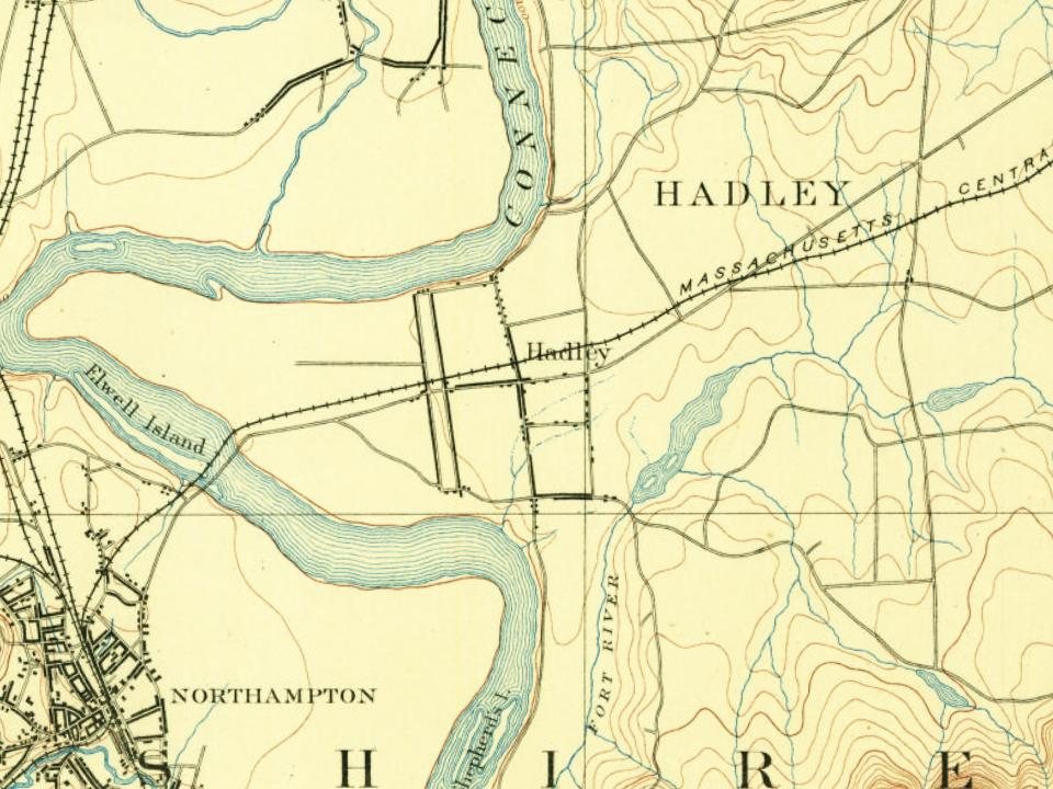
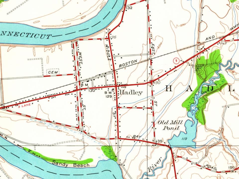
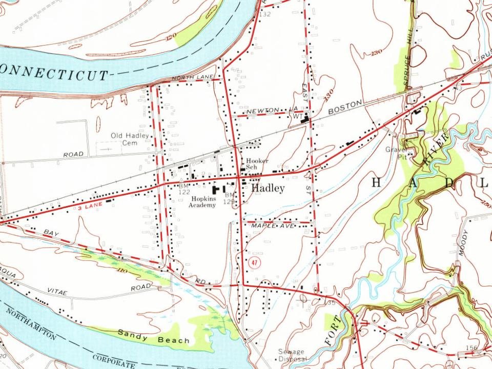
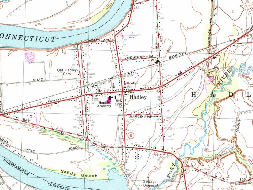
5 places in town are on the National Register, among them three historic districts with 451 buildings between them. Below: 6 old photos and papers, maps from 1886 on, and the census since 1790.
Founding year: Wikidata; Wikipedia’s history section gives the same year. First post office: 1803.The full story ↓
History grade
What drives Hadley’s History grade
On its age, its old homes and the National Register, Hadley is among the most historic 1% of U.S. towns, #33 of 283 in Massachusetts. All 3 inputs are above most U.S. towns; its National Register listings ranks highest and its share of homes from before 1940 lowest.
A+
HistoryA character grade: shown, never part of Hadley’s overall grade.
Massachusetts towns list more on the Register than most of the country (a typical Massachusetts town has 46.0 per 10,000 residents, the U.S. 2.4), so Hadley’s 1,119 sits above most of its state (98% of Massachusetts towns have fewer) while its 594 historic buildings outnumber those of 98% of U.S. towns.
How sure. Graded on any two of the three inputs instead, the letter would range from A to A+. The pre-1940 share is a Census survey estimate (±6.4 points). Two sources give 1659.
Founding year: Wikidata (other dates in Quick answers). Homes: Census ACS 2020–24. National Register: National Park Service, May 2026 list; each listing counted once (boundary changes and added documentation belong to their listing), and a historic district counts its contributing buildings. How TownRatings grades history →
What stands out about Hadley’s past
Read from the archive, the National Register and the record. The page puts what stands out first.
Hadley was first settled in 1659 and was officially incorporated in 1661. The former Norwottuck was renamed for Hadleigh, Suffolk. Its settlers were primarily a discontented group of families from the Puritan colonies of Hartford and Wethersfield, Connecticut, who petitioned to start a new colony up north after some controversy over doctrine in the local church. The settlement was led by John Russell. The first settler inside of Hadley was Nathaniel Dickinson, who surveyed the streets of what is now Hadley, Hatfield, and Amherst. At the time, Hadley encompassed a wide radius of land on both sides of the Connecticut River (but mostly on the eastern shore) including much of what would become known as the Equivalent Lands. In the following century, these were broken off into precincts and eventually the separate towns of Hatfield, Amherst, South Hadley, Granby and Belchertown. The early hi…
Passages that mention Hadley, cut from the printed page as they were published.
History of Hadley, including the early history of Hatfield, South Hadley, Amherst and Granby, Massachusetts1863Read the page →
Read the text
In General Court, May 16, 1663: — "In answer to the petition of the inhabitants of Hadley, the Court judgeth meet to prant, as an addition of land, to the township of Hadley, four miles square, provided that Major Pynchon may have his five hundred acres, part of a former grant to him, and formerly taken up within that tract ; to be laid out in such form as the selectmen of Hadley and he shall agree, and that said land be of the township of Hadley."
Text read by machine from the scan; it may contain errors.
In General Court, May i6, 1683: — "In answer to the petition of the inhabitants of Hadley, the Court judgeth meet to grant, as an addition of land, to the township of Hadley, four miles square, provided that Major Pynchon may have his five hundred acres, part of a former grant to him, and formerly taken up within that tract; to be laid out in such form as the selectmen of Hadley and he shall agree, and that said land be of the township of Hadley."
Text read by machine from the scan; it may contain errors.
of each society or town, for the maintaining of the rights and privileges of each; viz. all the land on the lower or southwest side of the highway shall be unto the society or town of Hadley on the east side of Connecticut, and all every parcel thereof to pay all common charges to the said town of Hadley on the east side of the river. Except those lands within the said highway and fence which are already either given or sold to inhabitants on the west jide; which land or parcells of land are the whole accommodations of Mr. Terry on the west side the river; and the whole accommodations of Nathaniel Dickinson, sen. and half of Mr.
Text read by machine from the scan; it may contain errors.
In 1715 the General Court made an additional grant of a tract of land four miles square to the township of Hadley, so that the town should thereafter include within its limits what is now South Hadley and South Hadley Falls and control the fishing privilege at the "Greate Falls" on the east side of the river. Three other excellent fishing places, one below the mouth of Mill River, one a little east of the southern end of the
Text read by machine from the scan; it may contain errors.
Scans and text from the Internet Archive. Books published in 1930 or earlier, which are in the public domain.
By decade
Hadley, decade by decade
4 decades in the archive, from the 1680s to the 1920s. Scroll each row; tap a photo for its story.
Nothing in the archives for these yearsWeddings on Main Street, storms, parades, school pictures, the old store. If it’s in your family album, it belongs here.
In 1659, according to Wikidata and Wikipedia’s history of the town. Hadley’s post office opened in 1803, and the first U.S. census counted 882 people here in 1790.
How does Hadley rank for history?
Hadley is among the most historic 1% of U.S. towns, #33 of 283 in Massachusetts. The History grade combines the town’s founding era, the share of homes built before 1940 and its National Register listings. It’s a character grade, so it isn’t part of the overall grade. How it works.
What is on the National Register in Hadley?
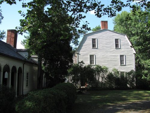
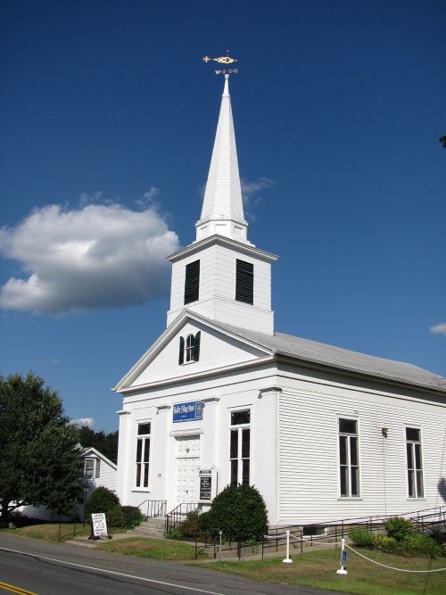
5 listings: 2 buildings, among them the Porter-Phelps-Huntington House (listed 1973, the first), and 3 historic districts, the Hadley Center Historic District, the Hockanum Rural Historic District and the Forty Acres and Its Skirts Historic District, with 451 contributing buildings. 594 historic buildings in all.
How old are the homes in Hadley?
24% of Hadley’s homes were built before 1940 (Census estimate, ±6.4 points), against a typical 21% for a Massachusetts town; the median home was built in 1971.
Founding dates: Wikidata, Wikipedia, the U.S. post office records of Blevins & Helbock (CC0) and the Census. Homes by year built: Census ACS 2020–24. National Register of Historic Places: National Park Service (list of May 22, 2026). Old photos, postcards and papers: Wikimedia Commons, the Library of Congress and other public archives, credited on each item’s page. Maps: U.S. Geological Survey historical topographic maps (via Esri) and Sanborn fire-insurance maps (Library of Congress). History text and census tables: Wikipedia (CC BY-SA 4.0). Places that used to be: USGS Geographic Names Information System (2021).
From Wikimedia Commons (6), the National Register of Historic Places (5), Wikipedia, Wikidata and Wikipedia for famous people, U.S. Geological Survey historical maps, U.S. Census counts (via Wikipedia), the US Post Offices dataset (Blevins & Helbock), the USGS Geographic Names Information System, Sanborn fire insurance maps (Library of Congress) and old county and town histories (Internet Archive). Archive images are copied here with their credits and licenses, shown on each photo’s page. Refreshed monthly.








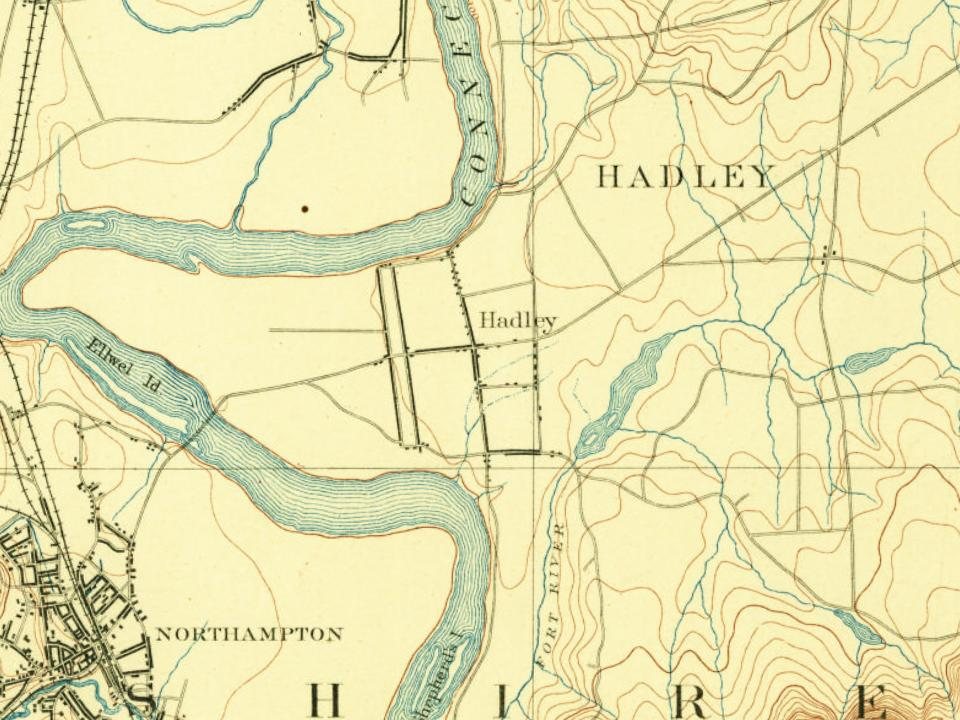





 1906
 1906

