Most of East Falmouth was built recently: 4% of its homes predate 1940 and the median home dates from 1973. Below: maps from 1886 on and old-book passages.
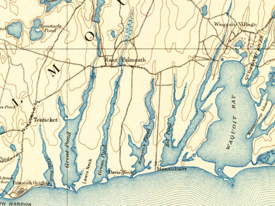
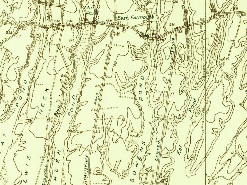
Every edition of the U.S. Geological Survey’s map of East Falmouth. Tap a year, or press play to watch the town change.
1886Falmouth sheet · 1:62,500
U.S. Geological Survey historical topographic maps (public domain), via Esri’s collection of the scans. The red ring marks the center of East Falmouth.
The story so far
East Falmouth, in brief
Wikipedia doesn’t have a history of East Falmouth yet. The photos, dates and memories neighbors add here are how it gets written.
East Falmouth is a census-designated place (CDP) in the town of Falmouth in Barnstable, Massachusetts, United States. It is located at the base of Massachusetts' Cape Cod peninsula (see map at right). As of the 2020 census, East Falmouth had a population of 6,278, making it the most populous of the six CDPs in Falmouth.
Its first post office opened in 1828. Between the 2010 and 2020 censuses its population grew from 6,038 to 6,278 (+4%).
Intro from Wikipedia. Population: U.S. Census Bureau.
From the old history books
What they wrote about East Falmouth, 1860–1890
Passages that mention East Falmouth, cut from the printed page as they were published.
In 1821, June 20, the 2d Church was organized, distinct from the ancient Congregational of which it had heretofore made a part. This church, connected with the parish at East Falmouth, as then known, — the locality of its meeting-house since called Hatchville, where formerly the minister of the town, subsequently known as the minister of the 1st Church, long officiated a proportionate part of the time, — was now to be
Text read by machine from the scan; it may contain errors.
History of Barnstable County, Massachusetts, 1620-1637-1686-18901890 · page 675Read the page →
Read the text
This community was supplied by mail for several years from East Falmouth before a government office was located here. Esquire John Robinson, who worshipped here, was the postmaster at East Falmouth, and at the church on Sabbath days the country folk received their mail and thus had virtually a Sunday carrier's delivery.
Text read by machine from the scan; it may contain errors.
Mile River, and diverge to the left, or return to Tateket and there take the Barnstable road, and then the road to Waquoit Bay, we pass through another thriving village, formerly known as Upper Waquoit, but of late years denominated East Falmouth. It is a continuous settlement, lying for the most part upon the main road, with scattered settlements at Davis's Neck and in other directions. Further on, in the direction of Great Neck in Marshpee, connecting almost imperceptibly, is Waquoit.
Text read by machine from the scan; it may contain errors.
Scans and text from the Internet Archive. Books published in 1930 or earlier, which are in the public domain.
Founding dates: Wikidata, Wikipedia, the U.S. post office records of Blevins & Helbock (CC0) and the Census. Homes by year built: Census ACS 2020–24. National Register of Historic Places: National Park Service (list of May 22, 2026). Old photos, postcards and papers: Wikimedia Commons, the Library of Congress and other public archives, credited on each item’s page. Maps: U.S. Geological Survey historical topographic maps (via Esri) and Sanborn fire-insurance maps (Library of Congress). History text and census tables: Wikipedia (CC BY-SA 4.0). Places that used to be: USGS Geographic Names Information System (2021). How TownRatings grades history →
From Wikimedia Commons (6), U.S. Geological Survey historical maps and old county and town histories (Internet Archive). Archive images are copied here with their credits and licenses, shown on each photo’s page. Refreshed monthly.






 2012
 2011
 2011
 2009
 2009
 2003