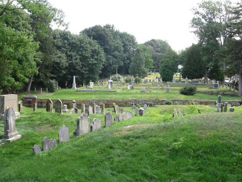
Cohasset dates to 1647, and 28% of its homes were built before 1940
More historic than 94% of U.S. towns · #89 of 283 in Massachusetts. What drives it
7 places in town are on the National Register, among them three historic districts with 46 buildings between them. Below: 9 old photos and papers, maps from 1888 on, and the census since 1790.
Founding year: Wikidata. First post office: 1802.The full story ↓
History grade
What drives Cohasset’s History grade
On its age, its old homes and the National Register, Cohasset is more historic than 94% of U.S. towns, #89 of 283 in Massachusetts. All 3 inputs are above most U.S. towns; its age ranks highest and its National Register listings lowest.
A
HistoryA character grade: shown, never part of Cohasset’s overall grade.
Massachusetts towns list more on the Register than most of the country (a typical Massachusetts town has 46.0 per 10,000 residents, the U.S. 2.4), so Cohasset’s 58.1 sits near the middle of its state (53% of Massachusetts towns have fewer) while its 49 historic buildings outnumber those of 85% of U.S. towns.
NoteThe founding year comes from Wikidata alone; no second source gives 1647.
How sure. Graded on any two of the three inputs instead, the letter would range from A to A+. The pre-1940 share is a Census survey estimate (±5.9 points).
Founding year: Wikidata (other dates in Quick answers). Homes: Census ACS 2020–24. National Register: National Park Service, May 2026 list; each listing counted once (boundary changes and added documentation belong to their listing), and a historic district counts its contributing buildings. How TownRatings grades history →
What stands out about Cohasset’s past
Read from the archive, the National Register and the record. The page puts what stands out first.
In 1614, the area entered the written record, when Captain John Smith explored the coast of New England and described an encounter of his ship with four Native Americans in a canoe at Quonahasit, two of whom were shot by the Europeans. In 1634, "Conihosset" is listed as a "noted habitation" in New England in a list of both indigenous and colonial settlements. In 1649, Cohasset was inhabited by the Pokanoket, when it was conquered by the Wampanoag. In 1668, Cohasset was inhabited by the Wampanoag, when it was conquered by the Massachusett. In 1670, the area was first settled by English settlers, suggesting this was a settlement of Massachusett people. The town's name came from the Massachusett word "Conahasset," possibly meaning "long rocky place" or "fishing promontory."
Passages that mention Cohasset, cut from the printed page as they were published.
A narrative history of the town of Cohasset, Massachusetts1898 · page 196Read the page →
Read the text
““A& Petition of John Beal, Lazarus Beal, Purdy McFarlow and Lazarus Beal jr. Inhabitants of the town of Hingham, Setting forth that the Petitioners with their Families were lately set off from the old Meeting house in Hingham to the new Precinct at Cohasset. That if they are obliged thereby to attend the public worship of God at Cohasset, and pay towards the support of it there, it will be such a burden & hardship upon them that they cannot be able to comply therewith, by reason of the Length and Badness of the Way to the said Precinct Meeting House, which was the greatest Motive as urged by the Persons petitioning for the
Text read by machine from the scan; it may contain errors.
History of Norfolk County, Massachusetts, with biographical sketches of many of its pioneers and prominent men1884 · page 218Read the page →
Read the text
quest, provided that Cohasset would settle an orthodox minister, and accept this settlement of the matter But the citizens of Cohasset voted that they could not do so cheerfully. In 1717 an act of the General Court was obtained creating a second parish in Hingham; and on July 14, 1718, the act was accepted at a meeting, over which Daniel Lin- The meeting was called for Cohasset,
Text read by machine from the scan; it may contain errors.
History of Norfolk County, Massachusetts, 1622-19181918 · page 114Read the page →
Read the text
COHASSET WATER COMPANY Prior to 1887 the Town of Cohasset depended upon wells for its water supply. On April 26, 1886, fourteen men met and organized the Cohasset Water Company, which was incorporated a few days later. Several plans were considered for ob-
Text read by machine from the scan; it may contain errors.
History of Norfolk County, Massachusetts, 1622-19181918Read the page →
Read the text
Cohasset was set off as the Second Parish of Hingham on November 21, 1717, and at the fist precinct meeting on August 11, 1718, it was voted to raise twenty-five pounds for the support of a minister. The church was not fully organized until 1721, Rev. Nehemiah Hobart, "who had preached several times," being ordained as pastor on December 13, 1721, the day following the organization. A meeting house had been built by the residents about eight years before the church was established. A new house was erected in 1747. The present pastor of this church is Rev. William R. Cole.
Text read by machine from the scan; it may contain errors.
Scans and text from the Internet Archive. Books published in 1930 or earlier, which are in the public domain.
By decade
Cohasset, decade by decade
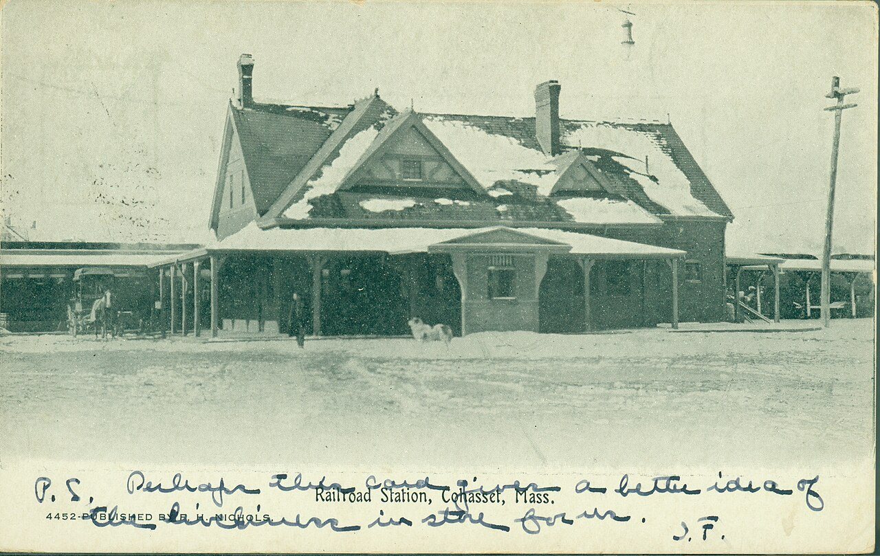
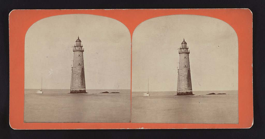
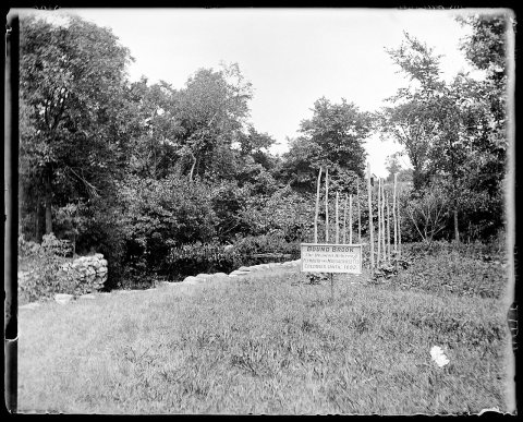
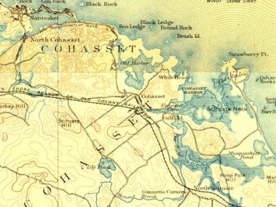
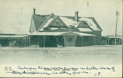
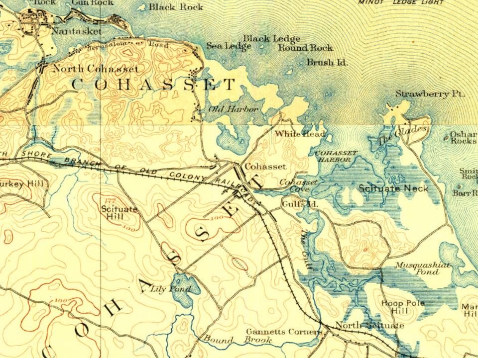
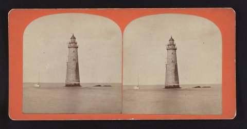
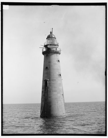
4 decades in the archive, from the 1870s to the 1900s. Scroll each row; tap a photo for its story.
Nothing in the archives for these yearsWeddings on Main Street, storms, parades, school pictures, the old store. If it’s in your family album, it belongs here.
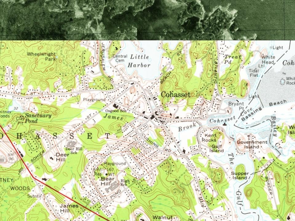
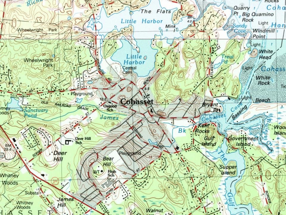
Fire insurance maps drew every building, what it was made of and what it was used for, so insurers could price the risk of fire. Pick a year, then a sheet.
In 1647, according to Wikidata. Cohasset’s post office opened in 1802, and the first U.S. census counted 817 people here in 1790.
How does Cohasset rank for history?
Cohasset is more historic than 94% of U.S. towns, #89 of 283 in Massachusetts. The History grade combines the town’s founding era, the share of homes built before 1940 and its National Register listings. It’s a character grade, so it isn’t part of the overall grade. How it works.
What is on the National Register in Cohasset?
7 listings: 3 buildings, among them the Caleb Lothrop House (listed 1976, the first), 3 historic districts, the Government Island Historic District, the Cohasset Common Historic District and the Capt. John Wilson House and Bates Ship Chandlery, with 46 contributing buildings, and 1 site. 49 historic buildings in all.
How old are the homes in Cohasset?
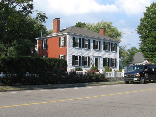
28% of Cohasset’s homes were built before 1940 (Census estimate, ±5.9 points), against a typical 21% for a Massachusetts town; the median home was built in 1968.
Founding dates: Wikidata, Wikipedia, the U.S. post office records of Blevins & Helbock (CC0) and the Census. Homes by year built: Census ACS 2020–24. National Register of Historic Places: National Park Service (list of May 22, 2026). Old photos, postcards and papers: Wikimedia Commons, the Library of Congress and other public archives, credited on each item’s page. Maps: U.S. Geological Survey historical topographic maps (via Esri) and Sanborn fire-insurance maps (Library of Congress). History text and census tables: Wikipedia (CC BY-SA 4.0). Places that used to be: USGS Geographic Names Information System (2021).
From Wikimedia Commons (4), the Library of Congress (5), Wikidata (1), the National Register of Historic Places (7), Wikipedia, Wikidata and Wikipedia for famous people, U.S. Geological Survey historical maps, U.S. Census counts (via Wikipedia), the US Post Offices dataset (Blevins & Helbock), the USGS Geographic Names Information System, Sanborn fire insurance maps (Library of Congress) and old county and town histories (Internet Archive). Archive images are copied here with their credits and licenses, shown on each photo’s page. Refreshed monthly.








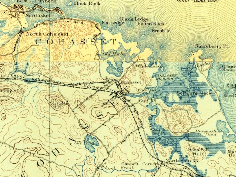
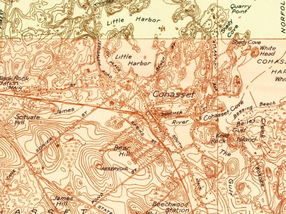
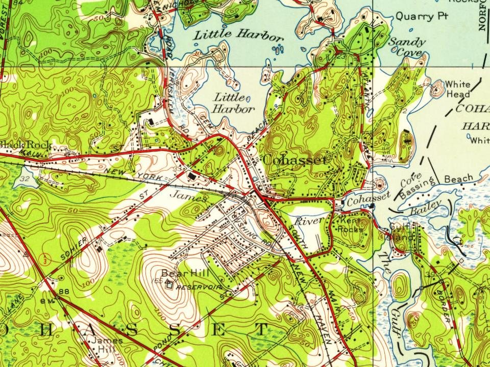
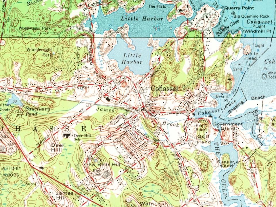




 1880
 1880
 1880
 1899
 1906