283 years in pictures
Census counts: 1,459 in 1790, 1,695 in 2020. The archive holds 16 old photos and papers going back to 1939 and 6 maps from 1886 on.
1 place on the National Register of Historic Places.
- 1743Ashfield is settled
Each edition grades its towns against each other only.

Ashfield’s best subject grades are an A for safety and health and an A+ for history; its weakest is a D for cost of living. 34% of residents are 65 or older in Ashfield, where Massachusetts’ towns sit at 19% and U.S. towns at 18%. On safety, just 22 of Massachusetts’ 300 towns do better. 20% of the land in Ashfield is conserved, against 19% in Massachusetts’ towns and 4.3% across U.S. towns. On history, just 23 of Massachusetts’ 325 towns do better. Ashfield's civic life (library use, community groups, volunteering) is stronger than in 89% of U.S. towns. Ashfield has fewer than 2,500 residents, so it gets subject grades but no overall grade.
Where Ashfield beats most towns.
Ashfield Plain Historic DistrictCensus counts: 1,459 in 1790, 1,695 in 2020. The archive holds 16 old photos and papers going back to 1939 and 6 maps from 1886 on.
1 place on the National Register of Historic Places.
Each subject compared with towns across the country (schools within Massachusetts), ordered by how far Ashfield is from typical.
How TownRatings grades towns →
Museums, parks, gardens and other places to visit around Ashfield. Close and well known come first.
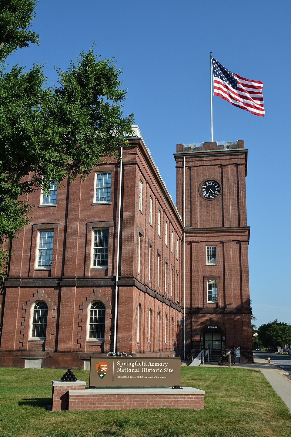
30 mi National Historic SiteSpringfield Armory National Historic Site14K visitors a year
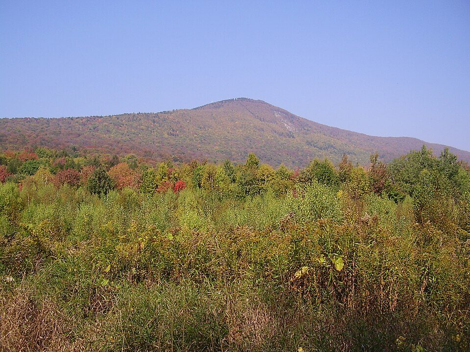
20 mi MountainMount Greylock
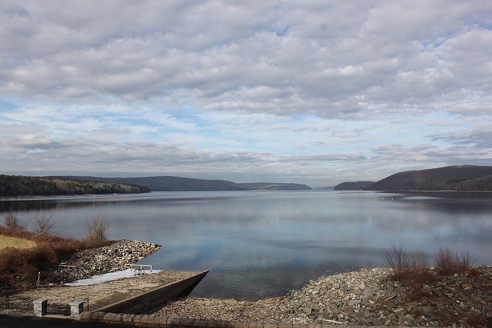
28 mi LakeQuabbin Reservoir
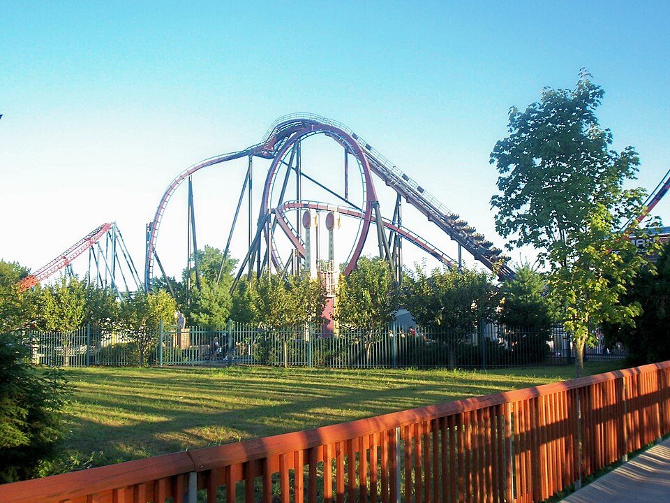
35 mi Theme parkSix Flags New England
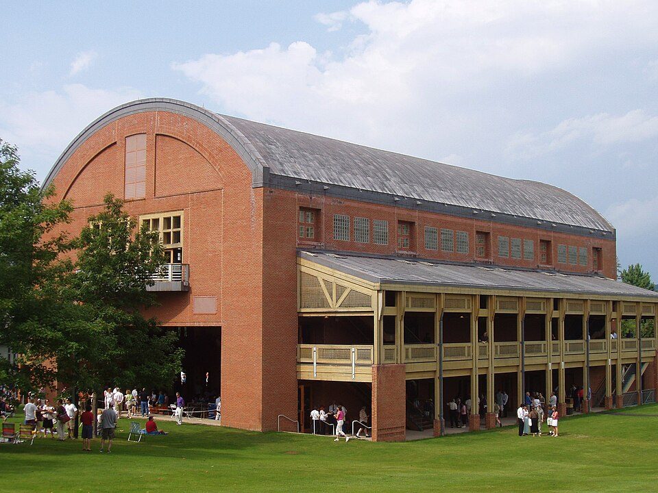
28 mi TheatreTanglewood
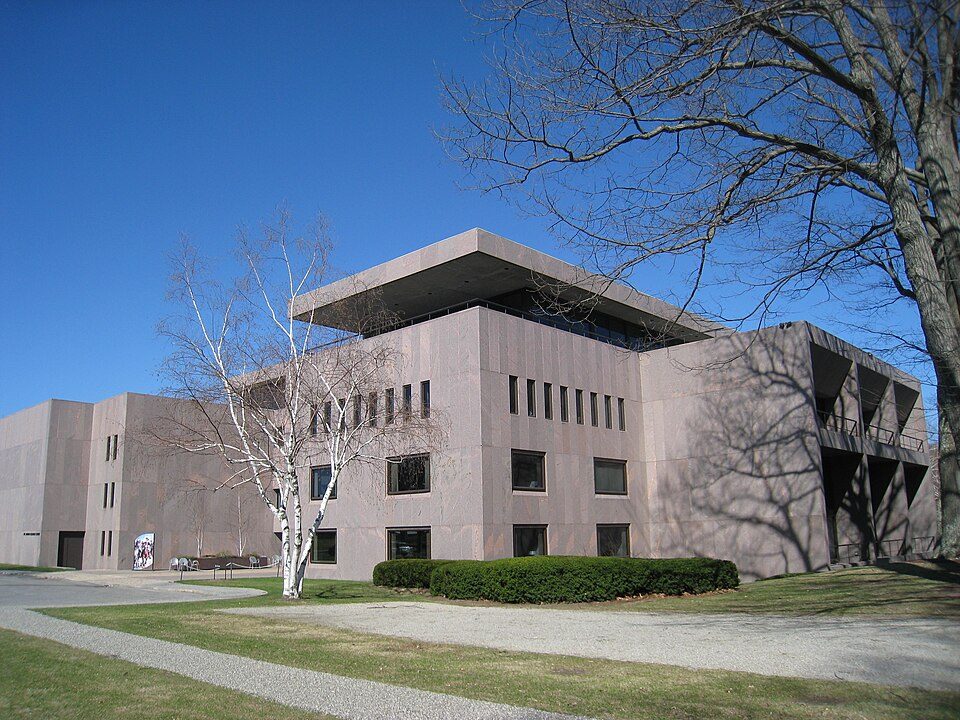
25 mi MuseumClark Art InstituteSpringfield Armory National Historic Site: National Park Service, Public domain · Mount Greylock: Jstergis, CC BY 3.0 · Quabbin Reservoir: engineerchange, CC BY 2.0 · Six Flags New England: Canadaolympic989, Public domain · Tanglewood: Daderot., CC BY-SA 3.0 · Clark Art Institute: Daderot, Public domain
Who provides power, water and the rest in Ashfield, and how to reach them.
EPA SDWIS (Oct 9, 2026) · HIFLD + EIA-861 2025 · Census 2020 ZCTAs · NCES 2024–25 · registration: vote.gov, updated Nov 18, 2024.
Ordered by what stands out in Ashfield.
Ashfield’s violent crime rate is 0 per 1,000 residents.
| Ashfield | Massachusetts towns | U.S. towns | |
|---|---|---|---|
| Violent crimes per 1,000 (2025) | 0 per 1,000 residents | 1.5 | 1.6 |
| Property crimes per 1,000 (2025) | 2.4 per 1,000 residents | 4.9 | 9.9 |
FBI crime data, 2025 · crimes reported to police
Its public schools are run by the Mohawk Trail school district. Its one school is below.
| School | Level | Students | Letter |
|---|---|---|---|
| Sanderson AcademyLargest public elementary schoolGrades PK–6 | Grades PK–6 | 125 | C |
NCES · EDFacts · graded within MA on state tests and graduation
Ashfield beats the Massachusetts average on 12 of 32 CDC measures and trails it on 5. 25% of adults have obesity in Ashfield.
| Ashfield | Massachusetts towns | U.S. towns | |
|---|---|---|---|
| Obesity (CDC PLACES) | 25% | 28% | 35% |
| Frequent mental distress (CDC PLACES) | 14% | 16% | 17% |
| Yearly checkup (CDC PLACES) | 84% | 82% | 79% |
| High blood pressure (CDC PLACES) | 37% | 32% | 35% |
| What stands out | Ashfield | MA |
|---|---|---|
| Fewer adults facing food insecurity | 7.4% | 12.4% |
| Fewer adults facing housing insecurity | 6.8% | 11.1% |
| More adults who have had cancer | 12.7% | 8.5% |
CDC PLACES 2025 · modeled estimates for adults · CMS · HRSA
People 65 and older are 34% of residents (18% statewide); adults 18 to 34 are 10% of residents (24% statewide). The median age in Ashfield is 58.6 years. 52% of adults 25 and older have a bachelor’s degree or more, vs 47% across Massachusetts.
| Ashfield | Massachusetts towns | U.S. towns | |
|---|---|---|---|
| Median age | 58.6 years | 43.4 years | 40.5 years |
| Under 18 | 12% | 20% | 22% |
| Bachelor’s degree or more, 25+ | 52% | 47% | 29% |
46% women, 54% men
About 116 men for every 100 women (the survey’s margin: ±2.1 points). Across Massachusetts, 51.1% of residents are women.
| Ashfield | MA | U.S. | |
|---|---|---|---|
| Under 10 | 7.5% | 10.2% | 11.6% |
| 10 to 17 | 4.9% | 9.2% | 10.3% |
| 18 to 24 | 2.1% | 9.8% | 9.1% |
| 25 to 34 | 7.6% | 14% | 13.7% |
| 35 to 44 | 8% | 13% | 13.2% |
| 45 to 54 | 13.8% | 12.3% | 12.2% |
| 55 to 64 | 22.4% | 13.6% | 12.7% |
| 65 to 74 | 23.9% | 10.5% | 10.2% |
| 75 and older | 9.8% | 7.4% | 7% |
| No diploma | 2% | 8.6% | 10.4% |
| High school | 24.2% | 22.6% | 26% |
| Some college | 14% | 14.1% | 19.1% |
| Associate’s | 7.8% | 7.5% | 8.8% |
| Bachelor’s | 24.7% | 25.5% | 21.6% |
| Graduate | 27.3% | 21.8% | 14.1% |
U.S. Census Bureau · ACS 2020-2024 5-year estimates · in a town of 1,700, single groups can be off by several points
The typical Ashfield home is worth about $430,000, up 1.6% in a year, 34% below the Massachusetts typical home. 86% of Ashfield households own their home.
| Ashfield | Massachusetts towns | U.S. towns | |
|---|---|---|---|
| Households that own their home | 86% | 79% | 73% |
| Median rent | $1,100 a month | $1,683 a month | $1,185 a month |
Census ACS, 2020–24 · Zillow Home Value Index · Redfin Data Center
Most working residents leave Ashfield for work: only 5% work in town. The top destinations are Northampton (10%), Greenfield (7%) and Conway (6%). Half commute less than 18 miles.
| Ashfield | Massachusetts towns | U.S. towns | |
|---|---|---|---|
| Median household income | $81,000 | $120,000 | $80,000 |
| Average trip to work | 30 minutes | 30 minutes | 25 minutes |
| Working residents who work in town | 4.7% | 9.8% | 8% |
| Below the poverty line | 9.1% | 6% | 9.6% |
Census LEHD 2023 · ACS
44 miles of trail in 7 parks and preserves. The biggest place to walk is Bear Swamp, 330 acres with 3.6 miles of trail.
| Biggest places to walk | Trails | Acres |
|---|---|---|
| 1. Bear Swamp | 3.6 mi | 330 |
| 2. Chapel Brook | 2.1 mi | 183 |
| 3. Bullitt Reservation | 0.8 mi | 146 |
Trails & parks © OpenStreetMap contributors · Conserved land: USGS PAD-US
Ashfield has cold, snowy winters and pleasant summers, with plenty of rain. July afternoons reach 79°, January nights drop to 13° and about 85 inches of snow falls in a winter.
NOAA U.S. Climate Normals, 1991–2020
Expected storm and flood damage is lower than in 52% of U.S. communities. Since 2011, 2 flood insurance claims have been paid out in Ashfield.
FEMA flood insurance claims · FEMA National Risk Index · OpenFEMA
1 within 15 miles of the center of Ashfield
About 1 of every 100 Ashfield residents are enrolled in college, against 8 across Massachusetts.
Where Ashfield’s working residents go each day. Line width shows the share.
Census LEHD 2023
14 notable people were born in Ashfield.


Town in Massachusetts, United States
Ashfield is a town in Franklin County, Massachusetts, United States. The population was 1,695 at the 2020 census. It is part of the Springfield, Massachusetts Metropolitan Statistical Area.
From Wikipedia, licensed CC BY-SA 4.0 · facts via Wikidata (CC0)
4 towns share a border with Ashfield.
| Town | MA rank | Overall | Cost | Safety | Schools | Health |
|---|---|---|---|---|---|---|
| Ashfield | — | — | D | A | C− | A |
| Goshen | — | — | — | — | — | — |
| Plainfield | — | — | — | — | — | — |
| Conway | — | — | D | — | B− | A |
| Cummington | — | — | — | — | — | — |
Ashfield and Conway have fewer than 2,500 residents, so they get subject grades but no overall grade. Conway reports no FBI crime data of its own. Goshen, Plainfield and Cummington aren’t graded (fewer than 1,000 residents, or not enough data). Compare Ashfield with a neighbor →
Short answers, built from the data on this page.
Yes. That is 5.7 years of the area's median household income ($74,907 across the Greenfield, MA area). Cost of living, which also weighs rents, property taxes and how many households pay 30% or more of their income for housing, grades D.
14 notable people were born here, including Cecil B. DeMille and G. Stanley Hall.