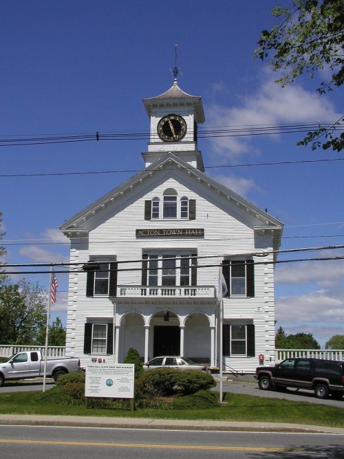
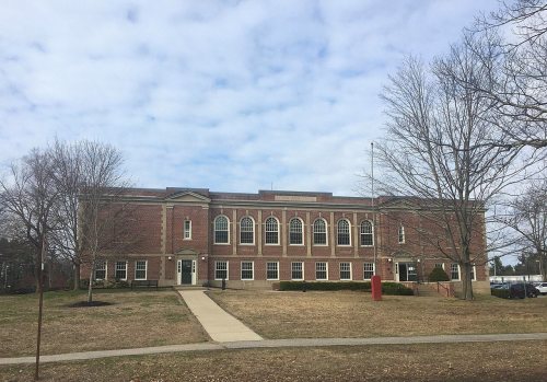
Acton dates to 1639, and 8 of its places are on the National Register
More historic than 53% of U.S. towns · #279 of 283 in Massachusetts. What drives it
Most of Acton was built recently: 9% of its homes predate 1940 and the median home dates from 1974. 8 places in town are on the National Register, among them a historic district with 36 buildings. Below: 11 old photos and papers, maps from 1886 on, and the census since 1790.
Founding year: Wikidata. First post office: 1810.The full story ↓
History grade
What drives Acton’s History grade
On its age, its old homes and the National Register, Acton is more historic than 53% of U.S. towns, #279 of 283 in Massachusetts. Its National Register listings hold the grade up; its share of homes from before 1940 pulls it down.
B−
HistoryA character grade: shown, never part of Acton’s overall grade.
Massachusetts towns list more on the Register than most of the country (a typical Massachusetts town has 46.0 per 10,000 residents, the U.S. 2.4), so Acton’s 19.5 sits near the middle of its state (35% of Massachusetts towns have fewer) while its 47 historic buildings outnumber those of 84% of U.S. towns.
NoteThe founding year comes from Wikidata alone; no second source gives 1639.
How sure. Graded on two of the three inputs, so a change in either one moves the letter more than it would with three. The pre-1940 share (±2.0 points) is firm at this size.
Founding year: Wikidata (other dates in Quick answers). Homes: Census ACS 2020–24. National Register: National Park Service, May 2026 list; each listing counted once (boundary changes and added documentation belong to their listing), and a historic district counts its contributing buildings. How TownRatings grades history →
What stands out about Acton’s past
Read from the archive, the National Register and the record. The page puts what stands out first.
Acton's history reflects the history of Massachusetts, New England, and the United States. It was first settled by Native Americans who used the Assabet, Sudbury and Concord rivers for transportation and the fields for farming seasonal crops. There is evidence of Native American settlements in Acton which go back 7,000 years. When the colonists arrived in this area, the Native American population dropped dramatically due to European diseases for which they had no immunity.
Passages that mention Acton, cut from the printed page as they were published.
A condensed genealogy of one branch of the Edwards family of Concord and Acton, Massachusetts1907 · page 28Read the page →
Read the text
The town of Acton, Middlesex County, Massachusetts, was set off from Concord, of which it had been a part for a century, in 1735, and later lost a portion of its territory and population to form the town of Boxboro. In the centre of the town stands the fine monument to the Revolutionary soldiers who gave their lives for liberty in the first struggle with the enemy. Lying in the pretty, well-kept Woodlawn Cemetery are the remains of more soldiers who fought in the Revolutionary War than are found, it is said, in any other cemetery in the country,
Text read by machine from the scan; it may contain errors.
History of Middlesex County, Massachusetts1890 · page 238Read the page →
Read the text
The Carlisle District of Acton was incorporated as a separate town in 1780 ; the easterly part of Old Concord was incorporated in the new town of Bedford in 1729 ; and the southerly part of Old Concord was incorporated in the new town of Lincoln iu 1754, so that from 1754 tO'1780 the township of Acton was larger than that of Concord, though much behind iu wealth and population. At the time of Concord's in-
Text read by machine from the scan; it may contain errors.
beautiful a resting-place after our long and weary march. You have referred to the services of tbe militia in the late war, and you will allow me to say that the character and conduct of Co. E, of Acton, evidenced that the spirit of the Revolutionary sires has not died out of the good town of Acton.
Text read by machine from the scan; it may contain errors.
In a panel on the side facing the main avenue the inscription reads as follows : " The Commonwealth of Massachusetts and the town of Acton, co-operating to perpetuate the fame of their glorious deeds of patriotism, have erected this monument in honor of Capt. Isaac Davis and privates Abner Hosmer and James Hayward, citizen soldiers of Acton and Provincial Minute-men, who fell in
Text read by machine from the scan; it may contain errors.
Scans and text from the Internet Archive. Books published in 1930 or earlier, which are in the public domain.
By decade
Acton, decade by decade
5 decades in the archive, from the 1900s to the 1960s. Scroll each row; tap a photo for its story.
Nothing in the archives for these yearsWeddings on Main Street, storms, parades, school pictures, the old store. If it’s in your family album, it belongs here.
In 1639, according to Wikidata. Acton’s post office opened in 1810, and the first U.S. census counted 853 people here in 1790.
How does Acton rank for history?
Acton is more historic than 53% of U.S. towns, #279 of 283 in Massachusetts. The History grade combines the town’s founding era, the share of homes built before 1940 and its National Register listings. It’s a character grade, so it isn’t part of the overall grade. How it works.
What is on the National Register in Acton?
8 listings: 6 buildings, among them the Faulkner Homestead (listed 1971, the first), 1 historic district, the Acton Centre Historic District, with 36 contributing buildings, and 1 site. 47 historic buildings in all.
How old are the homes in Acton?
9% of Acton’s homes were built before 1940 (Census estimate, ±2.0 points), against a typical 21% for a Massachusetts town; the median home was built in 1974.
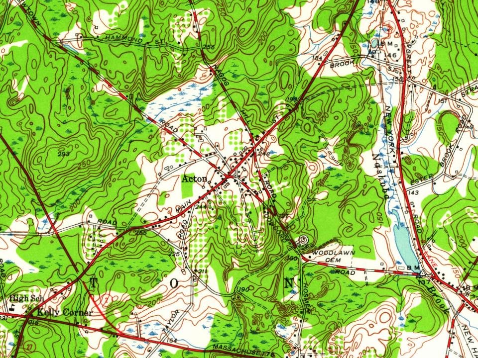
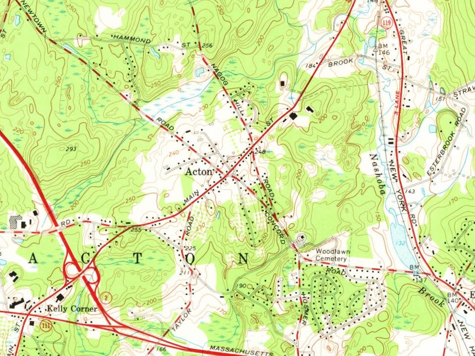
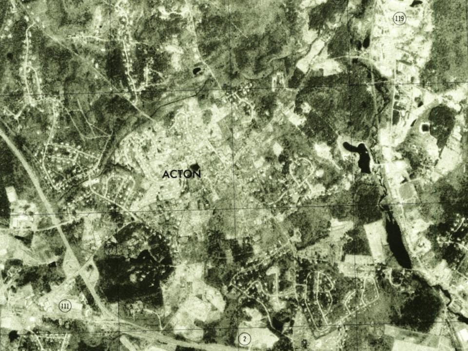
Founding dates: Wikidata, Wikipedia, the U.S. post office records of Blevins & Helbock (CC0) and the Census. Homes by year built: Census ACS 2020–24. National Register of Historic Places: National Park Service (list of May 22, 2026). Old photos, postcards and papers: Wikimedia Commons, the Library of Congress and other public archives, credited on each item’s page. Maps: U.S. Geological Survey historical topographic maps (via Esri) and Sanborn fire-insurance maps (Library of Congress). History text and census tables: Wikipedia (CC BY-SA 4.0). Places that used to be: USGS Geographic Names Information System (2021).
From Wikimedia Commons (12), Wikidata (6), the National Register of Historic Places (8), Wikipedia, Wikidata and Wikipedia for famous people, U.S. Geological Survey historical maps, U.S. Census counts (via Wikipedia), the US Post Offices dataset (Blevins & Helbock), the USGS Geographic Names Information System, Sanborn fire insurance maps (Library of Congress) and old county and town histories (Internet Archive). Archive images are copied here with their credits and licenses, shown on each photo’s page. Refreshed monthly.


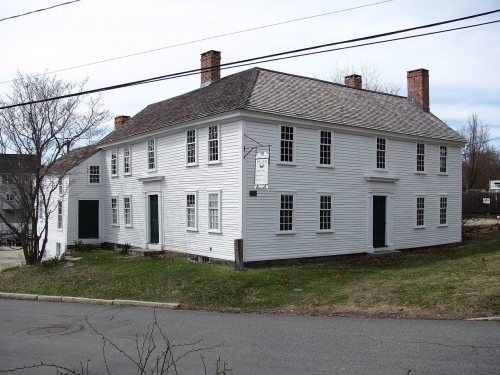




 1907–1915
 1907–1915
 1907–1915
 c. 1908
 1908
 1911
 2003