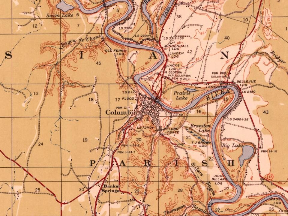
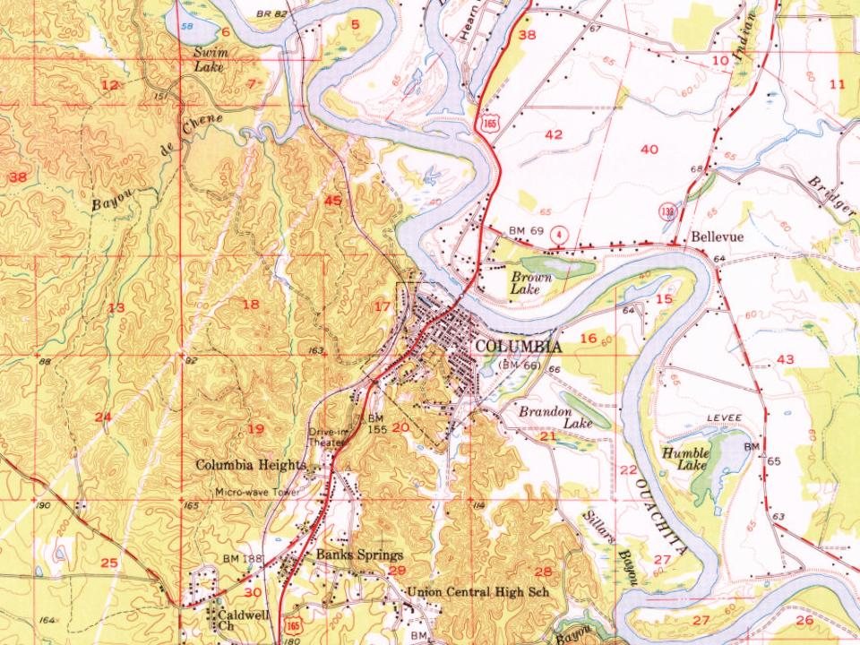
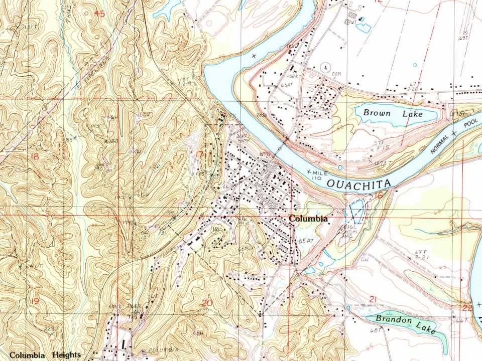
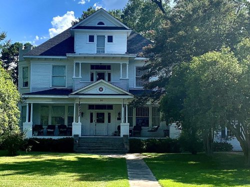
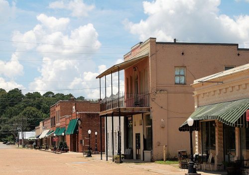
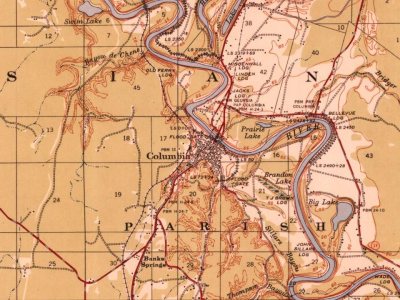
The land that became Columbia was first cleared by Daniel Humphries in 1827. A store was built a few years later the only settlement between Monroe, Louisiana, and the settlements of the Black River was formed. The harbor became a busy port for shipping cotton by steamboats and Packet boats until the arrival of the railroad. In February 1864 Columbia was the location of a skirmish between Federal and Confederate troops during the Civil War and there are several plantations in the area.
In 1827, according to Wikidata. Columbia’s post office opened in 1837, and the census of 1870 counted 235 people here.
What is on the National Register in Columbia?
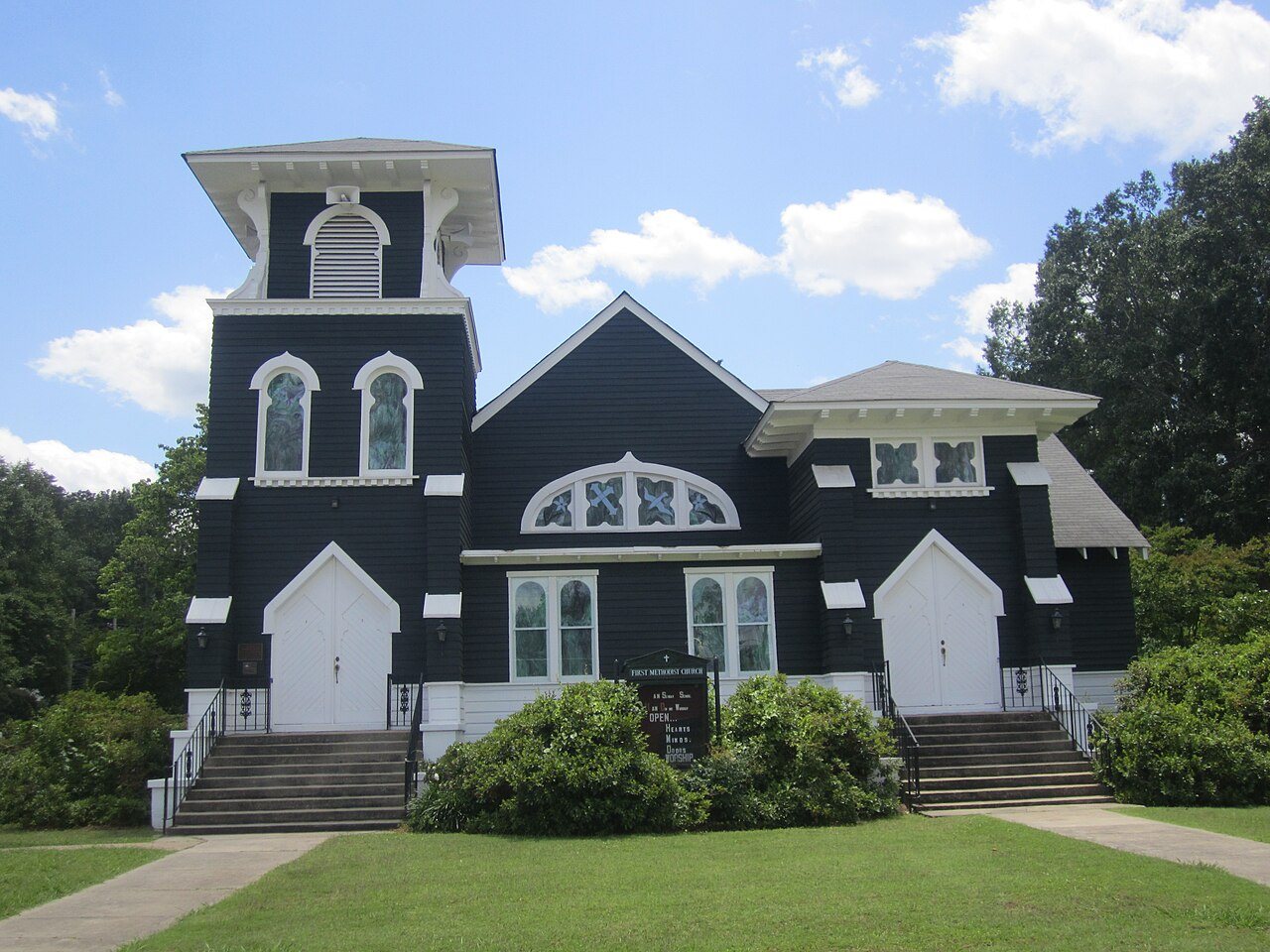
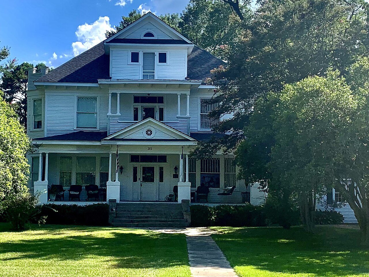
5 listings: 4 buildings, among them the First United Methodist Church (listed 1982, the first), and 1 historic district, the Downtown Columbia Historic District, with 15 contributing buildings. 22 historic buildings in all.
Founding dates: Wikidata, Wikipedia, the U.S. post office records of Blevins & Helbock (CC0) and the Census. Homes by year built: Census ACS 2020–24. National Register of Historic Places: National Park Service (list of May 22, 2026). Old photos, postcards and papers: Wikimedia Commons, the Library of Congress and other public archives, credited on each item’s page. Maps: U.S. Geological Survey historical topographic maps (via Esri) and Sanborn fire-insurance maps (Library of Congress). History text and census tables: Wikipedia (CC BY-SA 4.0). Places that used to be: USGS Geographic Names Information System (2021). How TownRatings grades history →
From Wikimedia Commons (4), Wikidata (4), the National Register of Historic Places (5), Wikipedia, Wikidata and Wikipedia for famous people, U.S. Geological Survey historical maps, U.S. Census counts (via Wikipedia), the US Post Offices dataset (Blevins & Helbock), the USGS Geographic Names Information System and Sanborn fire insurance maps (Library of Congress). Archive images are copied here with their credits and licenses, shown on each photo’s page. Refreshed monthly.




 2014
 2011
 2011
 2004