





College View Campus
521 Charlemagne Blvd., Elizabethtown, KY 42701 · (270) 234-5732 · Part of Hardin County School District
Elizabethtown’s School Grade C+ better than 37% of Kentucky school districts
What stands out about College View Campus
- Its own letter, D−: reading and math results near the bottom of Kentucky’s public schools
- Math proficiency 25 pts below the state
- Reading / language arts 36 pts below the state
- Small classes: 6 students per teacher
- Enrollment down 22.5% since 2020–21
Test scores
2020–21Its own letter, D−, places these results among Kentucky’s 1,177 public schools with results. Source: EDFacts via Urban Institute Education Data Portal (SY2020-21).
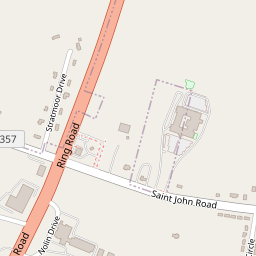
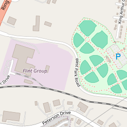
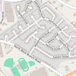
Location
Directions ↗521 Charlemagne Blvd., Elizabethtown
Students
Down 22.5% since 2020–21.
As reported to NCES, share of students with a reported race or ethnicity.
Parents talk
Questions and answers about College View Campus from Elizabethtown families.
Other schools in Hardin County School District
School facts: U.S. Department of Education (NCES), 2024–2025 school year. Test scores: EDFacts via Urban Institute Education Data Portal (SY2020-21). A school’s letter is our own summary of its reading and math results against Kentucky’s other public schools; Elizabethtown’s School Grade is built from its districts’ results. Map: © OpenStreetMap contributors.