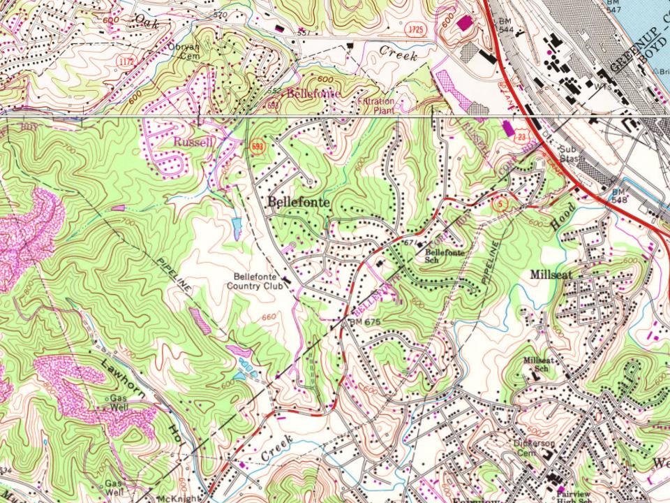
Most of Bellefonte was built recently: 4% of its homes predate 1940 and the median home dates from 1963. Below: maps from 1953 on and the census since 1960.
Wikipedia doesn’t have a history of Bellefonte yet. The photos, dates and memories neighbors add here are how it gets written.
Bellefonte is a home rule-class city in Greenup County, Kentucky, United States. As of the 2020 census, Bellefonte had a population of 920. Bellefonte is a part of the Huntington-Ashland, WV-KY-OH Metropolitan Statistical Area (MSA). In 2013, according to new boundary definitions, the MSA had a population of 361,580. Being primarily residential, Bellefonte is a suburb of nearby Ashland, to which it is closely connected. Known for having tree-lined streets and exclusively upscale neighborhoods, the city is home to the private Bellefonte Country Club, which has an 18-hole golf course, a swimming pool, tennis courts and a ballroom. Bellefonte was first incorporated on July 3, 1951, beginning w…
Bellefonte was established in 1951. Between the 2010 and 2020 censuses its population grew from 888 to 920 (+4%).
Intro from Wikipedia. Population: U.S. Census Bureau.
By decade
No old photos in the archives yet
Weddings on Main Street, storms, parades, school pictures, the old store. If it’s in your family album, it belongs here.
Be the first to add onePhotograph a print flat, in daylight, no flash.
Founding dates: Wikidata, Wikipedia, the U.S. post office records of Blevins & Helbock (CC0) and the Census. Homes by year built: Census ACS 2020–24. National Register of Historic Places: National Park Service (list of May 22, 2026). Old photos, postcards and papers: Wikimedia Commons, the Library of Congress and other public archives, credited on each item’s page. Maps: U.S. Geological Survey historical topographic maps (via Esri) and Sanborn fire-insurance maps (Library of Congress). History text and census tables: Wikipedia (CC BY-SA 4.0). Places that used to be: USGS Geographic Names Information System (2021). How TownRatings grades history →
From U.S. Geological Survey historical maps, U.S. Census counts (via Wikipedia) and the USGS Geographic Names Information System. Archive images are copied here with their credits and licenses, shown on each photo’s page. Refreshed monthly.