127 years in pictures
The archive holds 1 old photo or paper.
1 place on the National Register of Historic Places.
- 1899West Terre Haute is settled
Each edition grades its towns against each other only.

Settled in 1899, this town now has 2,160 residents.
The best of West Terre Haute’s subject grades are an A+ for walkability and an A− for the outdoors; the weakest is a D for health. Only 3 of Indiana’s 1,097 towns score higher on walkability. West Terre Haute's public schools trail 73% of Indiana towns on state tests and graduation. On health, just 25 of Indiana’s 1,086 towns do worse. West Terre Haute’s density of trails is 2.1 miles per square mile, above both Indiana’s towns (0.2) and U.S. towns (0.4). Only 50 of Indiana’s 1,098 towns score higher on the outdoors. Bethany Congregational Church is on the National Register of Historic Places. West Terre Haute has fewer than 2,500 residents, so it gets subject grades but no overall grade.
Where West Terre Haute beats most towns, and one thing worth knowing.
| Widest gap | West Terre Haute | IN |
|---|---|---|
| More older adults who have lost all their teeth | 27.4% | 15.4% |
Where West Terre Haute’s working residents go each day. Line width shows the share.
Census LEHD 2023
Each subject compared with towns across the country (schools within Indiana), ordered by how far West Terre Haute is from typical.
How TownRatings grades towns →
The archive holds 1 old photo or paper.
1 place on the National Register of Historic Places.
Who provides power, water and the rest in West Terre Haute, and how to reach them.
EPA SDWIS (Oct 9, 2026) · HIFLD + EIA-861 2025 · Census 2020 ZCTAs · NCES 2024–25 · registration: vote.gov, updated Nov 18, 2024.
Ordered by what stands out in West Terre Haute.
In West Terre Haute, 37% of adults feel lonely. Only 9 of the 590 Indiana towns we compare have a higher share of adults who smoke cigarettes than West Terre Haute.
| West Terre Haute | Indiana towns | U.S. towns | |
|---|---|---|---|
| Smoke cigarettes (CDC PLACES) | 24% | 17% | 14% |
| Frequent mental distress (CDC PLACES) | 22% | 18% | 17% |
| Fair or poor health (CDC PLACES) | 29% | 21% | 19% |
| Frequent physical distress (CDC PLACES) | 18% | 15% | 14% |
| What stands out | West Terre Haute | IN |
|---|---|---|
| More older adults who have lost all their teeth | 27.4% | 15.4% |
| More adults with COPD | 12.5% | 8.1% |
| More smokers | 24.1% | 15.7% |
CDC PLACES 2025 · modeled estimates for adults · CMS · HRSA
The rent at the middle of the market for West Terre Haute comes to $819 a month. Over the 12 months to September 2026, the typical home gained 2.3% in value. The share of households in West Terre Haute who own their home: 71%.
| West Terre Haute | Indiana towns | U.S. towns | |
|---|---|---|---|
| Median rent | $819 a month | $947 a month | $1,185 a month |
| Households that own their home | 71% | 76% | 73% |
Census ACS, 2020–24 · Zillow Home Value Index · Redfin Data Center
4.9% of working residents work locally in West Terre Haute. Employers in West Terre Haute added 96 jobs between 2013 and 2023, to 457. The town’s typical household income is $54,000. The top destinations are Terre Haute (43%), Indianapolis (7%) and Honey Creek Township (4%).
| West Terre Haute | Indiana towns | U.S. towns | |
|---|---|---|---|
| Median household income | $54,000 | $71,000 | $80,000 |
| Working residents who work in town | 4.9% | 11% | 8% |
Census LEHD 2023 · ACS
For West Terre Haute, the midsummer high is 87°F.
NOAA U.S. Climate Normals, 1991–2020
FEMA puts 40% of West Terre Haute’s expected hazard losses down to inland flooding, and 17% to earthquakes. Expected damage from storms and floods is lower here than in 61% of U.S. communities. Households locally have drawn federal disaster aid in 4 declared disasters, most recently in 2008.
FEMA disaster declarations and aid · FEMA National Risk Index · OpenFEMA
Across 1 park or preserve: 1.5 miles of trail. One park or preserve covers 9 acres in West Terre Haute.
| Biggest places to walk | Trails | Acres |
|---|---|---|
| 1. Wabashiki Fish and Wildlife Area | 0.3 mi | 9 |
Trails & parks © OpenStreetMap contributors · Conserved land: USGS PAD-US
Museums, parks, gardens and other places to visit around West Terre Haute. Close and well known come first.
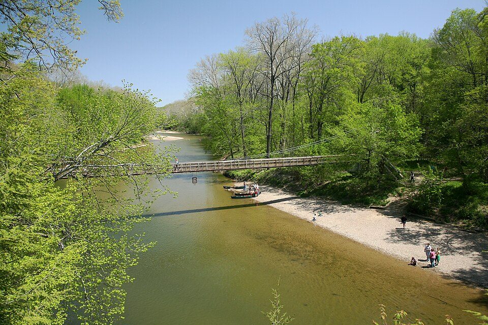
32 mi State parkTurkey Run State Park2 mi MuseumCANDLES Holocaust Museum and Education Center
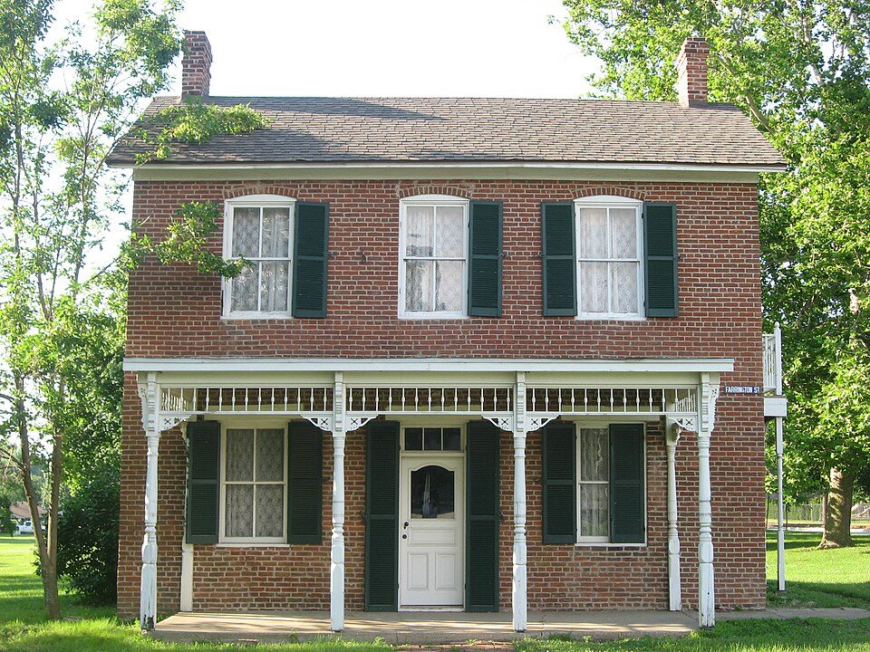
2 mi MuseumPaul Dresser Birthplace
2 mi MuseumSwope Art Museum
24 mi MuseumMansfield Roller MillTurkey Run State Park: Daniel Schwen, CC BY-SA 4.0 · Paul Dresser Birthplace: Nyttend, Public domain · Swope Art Museum: Colin Pizarek, CC BY-SA 3.0 · Mansfield Roller Mill: Nyttend, Public domain
3 within 15 miles of the center of West Terre Haute
About 4 of every 100 West Terre Haute residents are enrolled in college, against 6 across Indiana.
Town in Indiana, United States
West Terre Haute is a town in Sugar Creek Township, Vigo County, Indiana, on the western side of the Wabash River near Terre Haute. As of the 2020 census, West Terre Haute had a population of 2,157. It is part of the Terre Haute Metropolitan Statistical Area. Bethany Congregational Church was placed on the National Register of Historic Places in 2003.
From Wikipedia, licensed CC BY-SA 4.0 · facts via Wikidata (CC0)
Short answers, built from the data on this page.
Not for the area. That is 2.9 years of the area's median household income ($56,594 across the Terre Haute, IN metro area). Cost of living, which also weighs rents, property taxes and how many households pay 30% or more of their income for housing, grades A−.