Founding year: Wikidata. First post office: 1858.The full story ↓
History grade
What drives Tell City’s History grade
On its age, its old homes and the National Register, Tell City is more historic than 53% of U.S. towns, #363 of 593 in Indiana. Its share of homes from before 1940 holds the grade up; its age pulls it down.
B−
HistoryA character grade: shown, never part of Tell City’s overall grade.
Indiana towns list more on the Register than most of the country (a typical Indiana town has 7.9 per 10,000 residents, the U.S. 2.4), so Tell City’s 1.3 sits near the middle of its state (47% of Indiana towns have fewer) while its 1 listings outnumber those of 51% of U.S. towns.
How sure. Graded on any two of the three inputs instead, the letter would range from C to B. The pre-1940 share is a Census survey estimate (±4.4 points). Two sources give 1857.
Founding year: Wikidata (other dates in Quick answers). Homes: Census ACS 2020–24. National Register: National Park Service, May 2026 list; each listing counted once (boundary changes and added documentation belong to their listing), and a historic district counts its contributing buildings. How TownRatings grades history →
What stands out about Tell City’s past
Read from the archive, the National Register and the record. The page puts what stands out first.
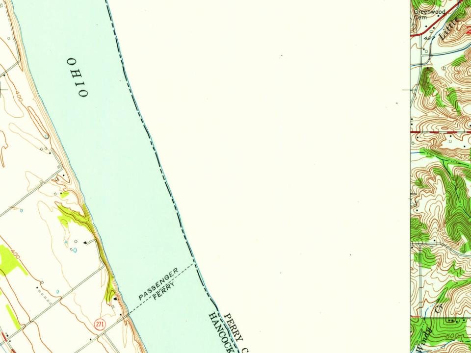
Every edition of the U.S. Geological Survey’s map of Tell City. Tap a year, or press play to watch the town change.
1903Tell City sheet · 1:62,500
U.S. Geological Survey historical topographic maps (public domain), via Esri’s collection of the scans. The red ring marks the center of Tell City.
Every building
Tell City, building by building, 1886–1909
Fire insurance maps drew every building, what it was made of and what it was used for, so insurers could price the risk of fire. Pick a year, then a sheet.
Tell City traces its 150+ year old roots to a meeting in Cincinnati, Ohio in November 1856. A group of Swiss-German immigrants met in Cincinnati to organize a society known as the "Swiss Colonization Society." The society's purpose was to obtain affordable homesteads for mechanics, shopkeepers, factory workers, and small farmers in a location where all could live in harmony.
become the terminus. At an election held Monday, October 9, 1871, the tax was voted down by a vote of 593 to 551, 472 of the ballots for the road being cast in Tell City, so the question was permanently settle-A and no portion of the road was ever built. Immediately following this defeat a new project was launched from Evansville, the Ohio River Railroad. It was proposed to run through Newburg in
Text read by machine from the scan; it may contain errors.
the short-lived Orleans Bank of Cannelton, Perry County was without any regular banking facilities, but in 1872 John S. Whitten came from Leavenworth to Tell City and, in co-operation with Frederick Steiner, founded the Tell City Bank as a private institution, with a capital of $30,000. Whitten was cashier and manager, Steiner being wharfmaster and otherwise occupied at the time.
Text read by machine from the scan; it may contain errors.
Scans and text from the Internet Archive. Books published in 1930 or earlier, which are in the public domain.
Timeline
Tell City, 1857 to 1980
Woven from the archive, old maps, post office records, the National Register and the people born here.
Nothing in the archives for these yearsWeddings on Main Street, storms, parades, school pictures, the old store. If it’s in your family album, it belongs here.
In 1857, according to Wikidata. Tell City’s post office opened in 1858, and the census of 1860 counted 1,030 people here.
How does Tell City rank for history?
Tell City is more historic than 53% of U.S. towns, #363 of 593 in Indiana. The History grade combines the town’s founding era, the share of homes built before 1940 and its National Register listings. It’s a character grade, so it isn’t part of the overall grade. How it works.
What is on the National Register in Tell City?
One place: the Tell City Carnegie Library (listed 2023).
How old are the homes in Tell City?
19% of Tell City’s homes were built before 1940 (Census estimate, ±4.4 points), against a typical 14% for an Indiana town; the median home was built in 1966.
Founding dates: Wikidata, Wikipedia, the U.S. post office records of Blevins & Helbock (CC0) and the Census. Homes by year built: Census ACS 2020–24. National Register of Historic Places: National Park Service (list of May 22, 2026). Old photos, postcards and papers: Wikimedia Commons, the Library of Congress and other public archives, credited on each item’s page. Maps: U.S. Geological Survey historical topographic maps (via Esri) and Sanborn fire-insurance maps (Library of Congress). History text and census tables: Wikipedia (CC BY-SA 4.0). Places that used to be: USGS Geographic Names Information System (2021).
From Wikimedia Commons (6), the National Register of Historic Places (1), Wikipedia, Wikidata and Wikipedia for famous people, U.S. Geological Survey historical maps, U.S. Census counts (via Wikipedia), the US Post Offices dataset (Blevins & Helbock), the USGS Geographic Names Information System, Sanborn fire insurance maps (Library of Congress) and old county and town histories (Internet Archive). Archive images are copied here with their credits and licenses, shown on each photo’s page. Refreshed monthly.




 1870
 2010
 2005
