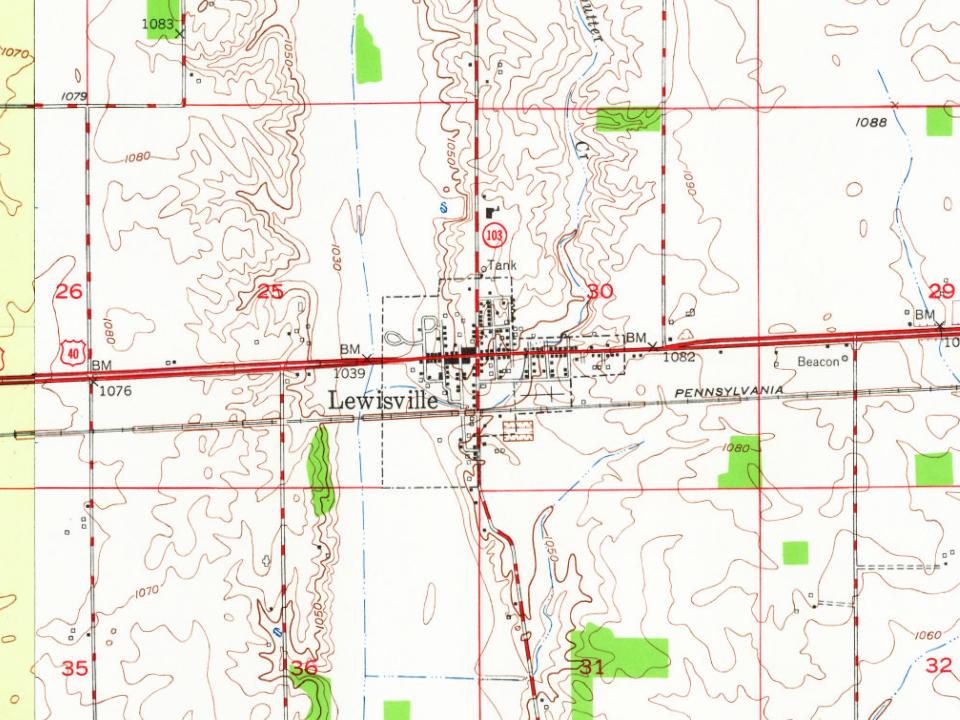
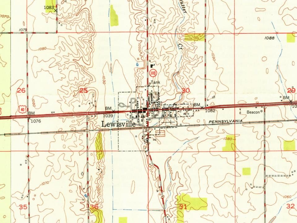
Lewisville was platted in 1829, and named for Lewis C. Freeman one of its founders and afterward first postmaster. A post office has been in operation in Lewisville since 1831. In 1833 (when there was considerable inconsistency in the spelling of Indiana place names), it was described as follows: 'Louisville, a village in Henry county, on the National Road [U.S. 40], on the east bank of Flatrock, about ten miles south of Newcastle. It contains a small population, and one store; but has a prospect of rapid increase.' By 1909, it had a population of 503, more than 2 dozen businesses, two doctors, a newspaper, and a railway station.
Guyer Opera House was added to the National Register of Historic Places in 1979.
Passages that mention Lewisville, cut from the printed page as they were published.
Hazzard's history of Henry county, Indiana, 1822-19061906Read the page →
Read the text
In 1884 he left Greenfield and moved to Sullivan, Sullivan County, Indiana,, where he remained four years. Upon his father's death in 1888, he returned to Lewisville where he bought and operated the old Davis Mill until its destruction by fire in July, 1896. The death of his father and later of his brother, Augustus Glidden, threw the burden of the settlement of their large and somewhat complicated estates upon him and in the course of time everything was satisfactorily and honorably adjusted. In these affairs he demonstrated his tact and business management and clearly proved his ability and judgment in the handling of large
Text read by machine from the scan; it may contain errors.
Scans and text from the Internet Archive. Books published in 1930 or earlier, which are in the public domain.
Timeline
Lewisville, 1829 to 1960
Woven from the archive, old maps, post office records, the National Register and the people born here.
National Park Service, National Register of Historic Places. Photos from Wikimedia Commons, credited on each place’s page.
Questions about Lewisville’s history
What year was Lewisville founded?
In 1829, according to Wikidata and Wikipedia’s history of the town. Lewisville’s post office opened in 1831, and the census of 1850 counted 193 people here.
Founding dates: Wikidata, Wikipedia, the U.S. post office records of Blevins & Helbock (CC0) and the Census. Homes by year built: Census ACS 2020–24. National Register of Historic Places: National Park Service (list of May 22, 2026). Old photos, postcards and papers: Wikimedia Commons, the Library of Congress and other public archives, credited on each item’s page. Maps: U.S. Geological Survey historical topographic maps (via Esri) and Sanborn fire-insurance maps (Library of Congress). History text and census tables: Wikipedia (CC BY-SA 4.0). Places that used to be: USGS Geographic Names Information System (2021). How TownRatings grades history →
From Wikimedia Commons (1), Wikidata (1), the National Register of Historic Places (1), Wikipedia, Wikidata and Wikipedia for famous people, U.S. Geological Survey historical maps, U.S. Census counts (via Wikipedia), the US Post Offices dataset (Blevins & Helbock), the USGS Geographic Names Information System and old county and town histories (Internet Archive). Archive images are copied here with their credits and licenses, shown on each photo’s page. Refreshed monthly.



 2016