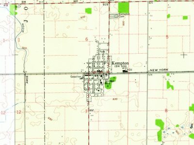
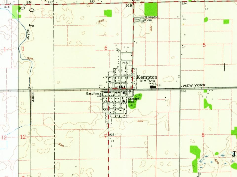
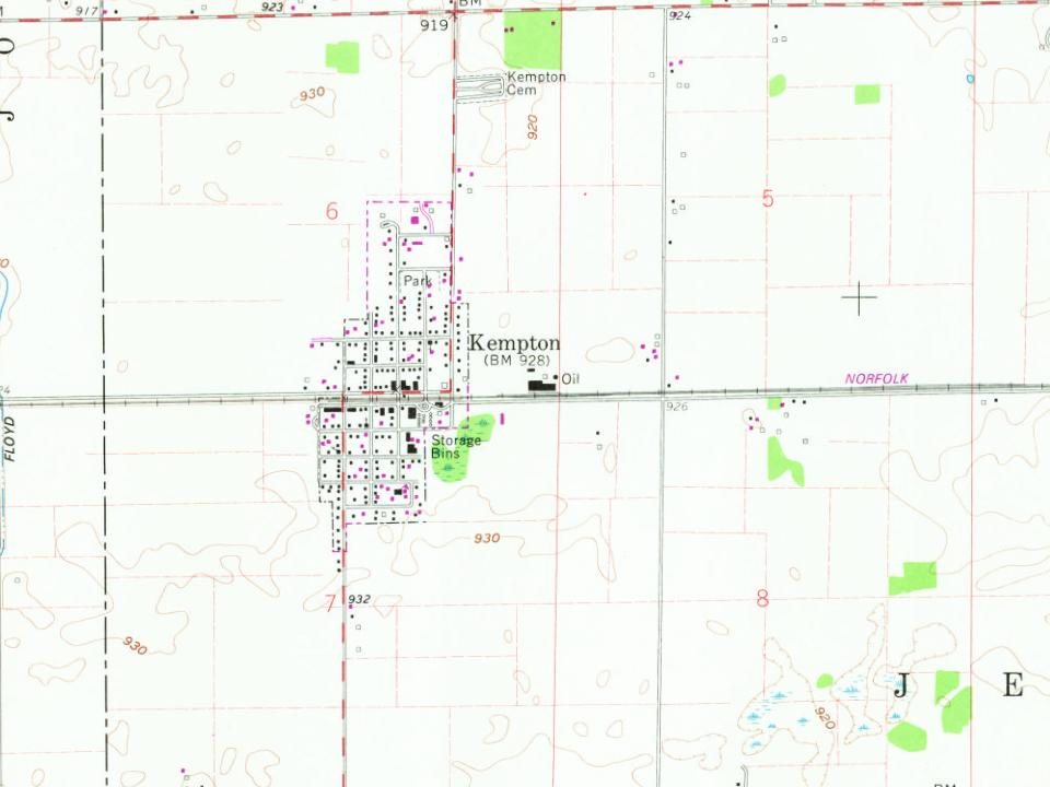
Kempton was founded in 1875, upon the completion of the Lake Erie and Western Railroad, in the same year. The land was originally owned by David Kemp, the namesake of the town. The first house in Kempton was built by Henry Hays. Hays also operated a grocery out of the building. That year, there was also a post office, an additional store, a blacksmith, and a mill. A Methodist Episcopal Church was built in 1902. As of 1914, the town had a population of about 700 people and had a bank, newspaper, and three churches. Tilemaking was the most lucrative industry, with the Kempton Tile Factory being located in the town. A canning factory and milling company were also located in Kempton.
Peaked at 600 in 1910; 288 people lived here in 2020.
13 censuses, 1880–2020.
U.S. Census Bureau decennial counts, from the census table on Kempton’s Wikipedia page.
From the old history books
What they wrote about Kempton in 1914
Passages that mention Kempton, cut from the printed page as they were published.
History of Tipton County Indiana1914 · page 115Read the page →
Read the text
The building of the Lake Erie & Western Railroad is responsible for the birth of the town of Kempton. This enterprise was completed in 1875, and in that year Kempton started. It is situated in sections 6 and 7, near the western boundary of the township, on land originally belonging to David Kemp, the proprietor, and for whom the town was named. Henry Hays built the first house in the village, south of the railroad, and occupied it as a dwelling and a grocery. Fostrom & Gillenstein started the second store. Noah Mathews built the first blacksmith shop. A planing mill
Text read by machine from the scan; it may contain errors.
History of Tipton County Indiana1914 · page 242Read the page →
Read the text
In 1856 it was thought that there was a great opening for a town one and a half miles southeast of Kempton, on the Wilson Wheatley farm. A town of twenty lots was laid out and called New Martinsburg. Main and Washington were the names of the principal streets. A lot sale was adver¬ tised and it was promised that a railroad wouljCrun directly through the town.
Text read by machine from the scan; it may contain errors.
Scans and text from the Internet Archive. Books published in 1930 or earlier, which are in the public domain.
Timeline
Kempton, 1875 to 1960
Woven from the archive, old maps, post office records, the National Register and the people born here.
Founding dates: Wikidata, Wikipedia, the U.S. post office records of Blevins & Helbock (CC0) and the Census. Homes by year built: Census ACS 2020–24. National Register of Historic Places: National Park Service (list of May 22, 2026). Old photos, postcards and papers: Wikimedia Commons, the Library of Congress and other public archives, credited on each item’s page. Maps: U.S. Geological Survey historical topographic maps (via Esri) and Sanborn fire-insurance maps (Library of Congress). History text and census tables: Wikipedia (CC BY-SA 4.0). Places that used to be: USGS Geographic Names Information System (2021). How TownRatings grades history →
From Wikipedia, U.S. Geological Survey historical maps, U.S. Census counts (via Wikipedia), the US Post Offices dataset (Blevins & Helbock), the USGS Geographic Names Information System and old county and town histories (Internet Archive). Archive images are copied here with their credits and licenses, shown on each photo’s page. Refreshed monthly.