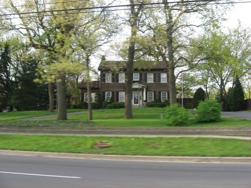
Highland dates to 1848, and 1 of its places is on the National Register
More historic than 53% of U.S. towns · #361 of 593 in Indiana. What drives it
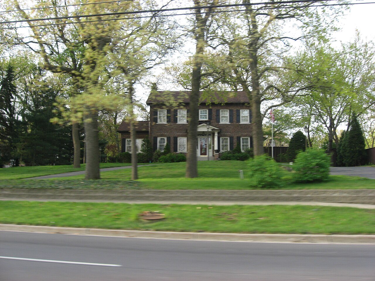
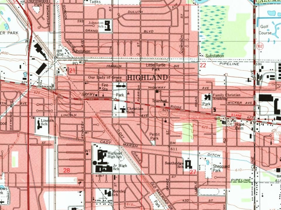
Most of Highland was built recently: 5% of its homes predate 1940 and the median home dates from 1967. Its Register listing is the Ibach House. Below: 1 old photo or paper, maps from 1900 on, and the census since 1910.
Founding year: Wikidata. First post office: 1888.The full story ↓
History grade
What drives Highland’s History grade
On its age, its old homes and the National Register, Highland is more historic than 53% of U.S. towns, #361 of 593 in Indiana. Its age holds the grade up; its share of homes from before 1940 pulls it down.
B−
HistoryA character grade: shown, never part of Highland’s overall grade.
Indiana towns list more on the Register than most of the country (a typical Indiana town has 7.9 per 10,000 residents, the U.S. 2.4), so Highland’s 0.4 sits near the middle of its state (45% of Indiana towns have fewer) while its 1 listings outnumber those of 51% of U.S. towns.
NoteThe founding year comes from Wikidata alone; no second source gives 1848.
How sure. Graded on any two of the three inputs instead, the letter would range from C to B+. The pre-1940 share (±1.3 points) is firm at this size.
Founding year: Wikidata (other dates in Quick answers). Homes: Census ACS 2020–24. National Register: National Park Service, May 2026 list; each listing counted once (boundary changes and added documentation belong to their listing), and a historic district counts its contributing buildings. How TownRatings grades history →
What stands out about Highland’s past
Read from the archive, the National Register and the record. The page puts what stands out first.
In 1847, two pioneers from Ohio, Michael and Judith Johnston, became Highland's first settlers. The town slowly expanded until the early 1880s, when the development of Chicago & Atlantic railroad trackage through the town attracted agriculture and manufacturing industries. Dutch settlers began moving to Highland shortly thereafter from nearby Munster. 304 people resided in Highland when it was incorporated in 1910. In 1992, the Indiana Historical Bureau placed a state historical marker at 8941 Kleinman Road (41°33′2″N 87°26′14″W) to recognize the immigration of Dutch in the Calumet Region.
Passages that mention Highland, cut from the printed page as they were published.
Historical and genealogical essay upon the family and surname of Buchanan1849Read the page →
Read the text
the above parishes, with some few in the parish of Campsy descended off these Macwatties, so many of them at least, as continued in the parish of Luss, and other Highland places, retain the surname of Macwattie yet, the principal person of these, being Alexander Macwattie in Glenmacoirn, in Luss parish. There are some of these Macwatties in the shire of Argyle, and in the county of Tyrone in Ireland.
Text read by machine from the scan; it may contain errors.
A history of Highland County, Virginia1911 · page 399Read the page →
Read the text
12. So much of the county of Highland as now forms part of Pendleton county, and the county of Pendleton, shall together send one delegate to the house of delegates in the general assembly of Virginia, until a reapportionment of representation shall take place, and so much of Highland county as now forms a part of Bath county, and Bath County, shall together send one delegate to the house of delegates of Virginia until a reapportionment of representation shall take place. It shall be the duty of the county court of Highland county, at the first term, or as soon as convenient, to appoint
Text read by machine from the scan; it may contain errors.
ent township of Madison. From this beginning a church was organized which took the name of Iiocky Spring, in memory, says one, of Rocky Spring in Pennsylvania, from which John Wilson came who named it. This was the first Presbyterian church in Highland county and embraced at first all the Greenfield and Fall Creek settlements. The first pastor of this church was Rev. Nichols Pittinger, who came from Pennsylvania on a visit to the county with a view to a permanent settlement, in 1809, and in 1810 moved into
Text read by machine from the scan; it may contain errors.
J acob M. Grim, a civil war veteran with the rank of first lieutenant, and a substantial farmer, belongs to a family which has been prominently identified with the agricultural interests of Highland county since 1820. In that year his father, Peter Grim, came from Rockbridge county, Virginia, and settled in Highland county, where he became a popular and influential citizen. He married Mary, daughter of John Walker, an Irishman by birth who also came to Ohio from Virginia and was one of the first settlers of Highland
Text read by machine from the scan; it may contain errors.
Scans and text from the Internet Archive. Books published in 1930 or earlier, which are in the public domain.
By decade
Highland, decade by decade
One decade in the archive so far: the 1830s. Scroll each row; tap a photo for its story.
In 1848, according to Wikidata. Highland’s post office opened in 1888, and the census of 1910 counted 304 people here.
How does Highland rank for history?
Highland is more historic than 53% of U.S. towns, #361 of 593 in Indiana. The History grade combines the town’s founding era, the share of homes built before 1940 and its National Register listings. It’s a character grade, so it isn’t part of the overall grade. How it works.
What is on the National Register in Highland?
One place: the Ibach House (listed 2010).
How old are the homes in Highland?
5% of Highland’s homes were built before 1940 (Census estimate, ±1.3 points), against a typical 14% for an Indiana town; the median home was built in 1967.
Founding dates: Wikidata, Wikipedia, the U.S. post office records of Blevins & Helbock (CC0) and the Census. Homes by year built: Census ACS 2020–24. National Register of Historic Places: National Park Service (list of May 22, 2026). Old photos, postcards and papers: Wikimedia Commons, the Library of Congress and other public archives, credited on each item’s page. Maps: U.S. Geological Survey historical topographic maps (via Esri) and Sanborn fire-insurance maps (Library of Congress). History text and census tables: Wikipedia (CC BY-SA 4.0). Places that used to be: USGS Geographic Names Information System (2021).
From Wikimedia Commons (3), the Library of Congress (2), the National Register of Historic Places (1), Wikipedia, Wikidata and Wikipedia for famous people, U.S. Geological Survey historical maps, U.S. Census counts (via Wikipedia), the US Post Offices dataset (Blevins & Helbock), the USGS Geographic Names Information System and old county and town histories (Internet Archive). Archive images are copied here with their credits and licenses, shown on each photo’s page. Refreshed monthly.




 2016
 2016
 2006
 2006