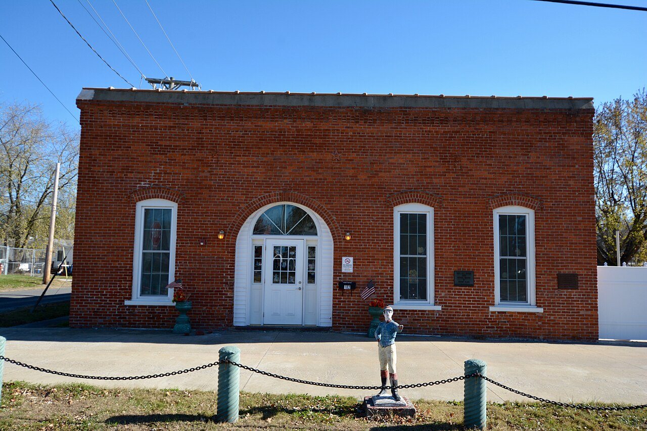
Founding year: the first White Hall post office (Blevins & Helbock, CC0).The full story ↓
History grade
What drives White Hall’s History grade
On its age, its old homes and the National Register, White Hall is more historic than 96% of U.S. towns. All 3 inputs are above most U.S. towns; its share of homes from before 1940 ranks highest and its age lowest.
A+
HistoryA character grade: shown, never part of White Hall’s overall grade.
Few Illinois towns list much on the Register (a typical Illinois town has 0.5 per 10,000 residents, the U.S. 2.4), so White Hall’s 137 sits above most of its state (95% of Illinois towns have fewer) while its 31 historic buildings outnumber those of 82% of U.S. towns.
How sure. Graded on any two of the three inputs instead, the letter would range from A to A+. The pre-1940 share is a Census survey estimate (±8.1 points). The founding year is the first post office, not a stated founding date.
Founding year: the first post office (other dates in Quick answers). Homes: Census ACS 2020–24. National Register: National Park Service, May 2026 list; each listing counted once (boundary changes and added documentation belong to their listing), and a historic district counts its contributing buildings. How TownRatings grades history →
What stands out about White Hall’s past
Read from the archive, the National Register and the record. The page puts what stands out first.
A post office called White Hall has been in operation since 1827. In 1830 a David Barrow was the first person to build and in a location that would become White Hall. Two years later he bought another 80 acres of land at the price of $200 for the purpose of creating the town. Four years later, in 1836 White Hall was official established. This area was the home to a long, white tavern owned by James Allen, which was the only hotel between Carrollton, Illinois and Jacksonville, Illinois. The town got its name from the fact that when a stage was approaching the tavern, the driver would call out "Next stop, the White Hall."
Passages that mention White Hall, cut from the printed page as they were published.
History of Greene County, Illinois1879 · page 407Read the page →
Read the text
J. Henderson, who was the pioneer in the northern part of the county, is supposed to have been one of the first to explore the vicinity of Roodhouse. The first settlements in the township were made some years previous to 1830. In 1832 White Hall was laid out, and this town was for many years the trading point for the dwellers in the region where Roodhouse is now situated. The vicinity was one of the most fertile in the county, the surface of the prairie was rolling and healthful, and the inhabitants were intelligent, industrious, and energetic, and contributed
Text read by machine from the scan; it may contain errors.
History of Greene County, Illinois1879 · page 743Read the page →
Read the text
State, and first secured employment in helping toward the survey of the town of Gibraltar. In 1821 he entered a piece of land near the present town of White Hall. In connection with Carl Gregory he erected the first two frame blocks in Greene County.
Text read by machine from the scan; it may contain errors.
History of Greene county, Illinois1879 · page 743Read the page →
Read the text
State, and first secured employment in helping toward the survey of the town of Gibraltar. In 1821 he entered a piece of land near the present town of White Hall. In connection with Carl Gregory he erected the first two frame blocks in Greene County.
Text read by machine from the scan; it may contain errors.
History of Greene county, Illinois1879 · page 397Read the page →
Read the text
In 1830, David Barrow, who laid out the town of White Hall two years later, built a brick residence, which stood but a short distance from the present location of the house of W. B. Thaxton, Esq. The widow HoUiday, who came from Virginia, was one of the first j)ioneers, and occupied a log cabin on the site of Hon. L. T. Whiteside's residence.
Text read by machine from the scan; it may contain errors.
Scans and text from the Internet Archive. Books published in 1930 or earlier, which are in the public domain.
Timeline
White Hall, 1827 to 1950
Woven from the archive, old maps, post office records, the National Register and the people born here.
Every edition of the U.S. Geological Survey’s map of White Hall. Tap a year, or press play to watch the town change.
1924Roodhouse sheet · 1:62,500
U.S. Geological Survey historical topographic maps (public domain), via Esri’s collection of the scans. The red ring marks the center of White Hall.
Every building
White Hall, building by building, 1885–1914
Fire insurance maps drew every building, what it was made of and what it was used for, so insurers could price the risk of fire. Pick a year, then a sheet.
White Hall’s post office has been open since 1827.
Gone or out of use
White Hall Hospitalhospital
1cemetery inside White Hall
Veterans of Foreign Wars Memorial
US Post Offices dataset (Blevins & Helbock, CC0). Places and cemeteries from the USGS Geographic Names Information System (2021).
Questions about White Hall’s history
What year was White Hall founded?
The White Hall post office opened in 1827, the earliest record of the town by name (U.S. post office records).
How does White Hall rank for history?
White Hall is more historic than 96% of U.S. towns. The History grade combines the town’s founding era, the share of homes built before 1940 and its National Register listings. It’s a character grade, so it isn’t part of the overall grade. How it works.
What is on the National Register in White Hall?
Two places: the White Hall Foundry (listed 1980) and the White Hall Historic District (1987).
How old are the homes in White Hall?
35% of White Hall’s homes were built before 1940 (Census estimate, ±8.1 points), against a typical 11% for an Illinois town; the median home was built in 1950.
Founding dates: Wikidata, Wikipedia, the U.S. post office records of Blevins & Helbock (CC0) and the Census. Homes by year built: Census ACS 2020–24. National Register of Historic Places: National Park Service (list of May 22, 2026). Old photos, postcards and papers: Wikimedia Commons, the Library of Congress and other public archives, credited on each item’s page. Maps: U.S. Geological Survey historical topographic maps (via Esri) and Sanborn fire-insurance maps (Library of Congress). History text and census tables: Wikipedia (CC BY-SA 4.0). Places that used to be: USGS Geographic Names Information System (2021).
From Wikimedia Commons (3), Wikidata (2), the National Register of Historic Places (2), Wikipedia, Wikidata and Wikipedia for famous people, U.S. Geological Survey historical maps, U.S. Census counts (via Wikipedia), the US Post Offices dataset (Blevins & Helbock), the USGS Geographic Names Information System, Sanborn fire insurance maps (Library of Congress) and old county and town histories (Internet Archive). Archive images are copied here with their credits and licenses, shown on each photo’s page. Refreshed monthly.




 2015
 2015
 2010


