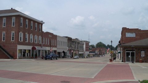
Vandalia was founded in 1819 as a new capital city for Illinois. The previous capital, Kaskaskia, was unsuitable because it was on the south-east border of the new state and under the constant threat of flooding. The more centrally located townsite, located in Bond County at the time, was hastily prepared for the 1820 meeting of the Illinois General Assembly. In 1821, Fayette County was created, including Vandalia.
Nothing in the archives for these yearsWeddings on Main Street, storms, parades, school pictures, the old store. If it’s in your family album, it belongs here.
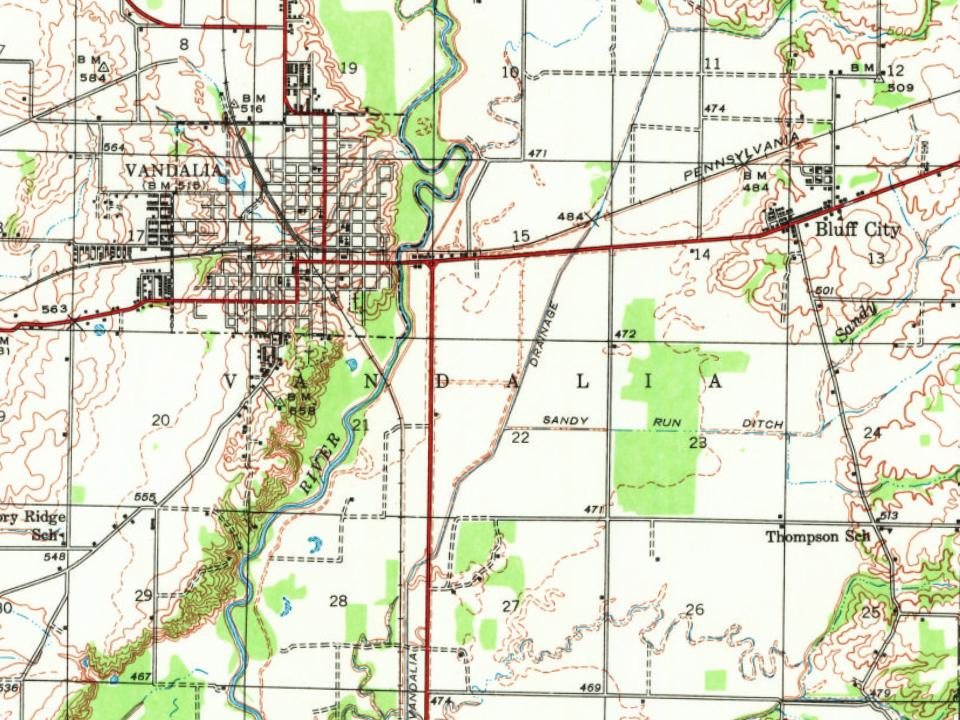
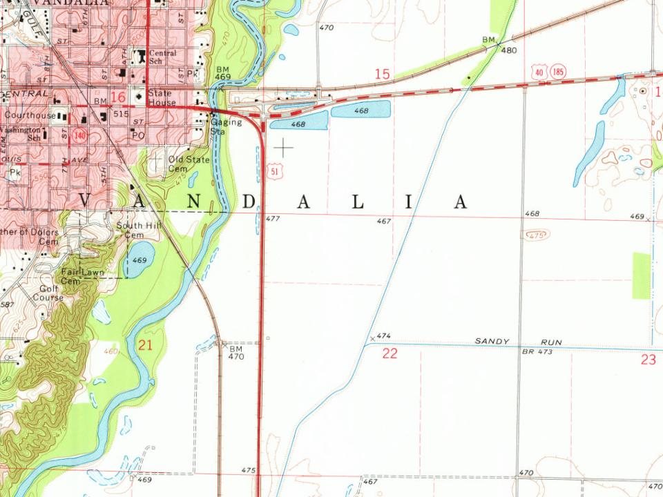
Every edition of the U.S. Geological Survey’s map of Vandalia Township. Tap a year, or press play to watch the town change.
1945Vandalia sheet · 1:62,500
U.S. Geological Survey historical topographic maps (public domain), via Esri’s collection of the scans. The red ring marks the center of Vandalia Township.
Then & now
Stand where they stood
No then-and-now pairs yet. Take a photo from the same spot as an old one and they appear here side by side.
Retake this viewHotel Evans, John Matthew Heller (NBY 487), 1955
Find the spot, match the angle, and add your photo. It becomes the first then-and-now pair on Vandalia Township’s page.
In 1819, according to Wikidata and Wikipedia’s history of the town. Vandalia Township’s post office opened in 1820, and the census of 1850 counted 419 people here.
Founding dates: Wikidata, Wikipedia, the U.S. post office records of Blevins & Helbock (CC0) and the Census. Homes by year built: Census ACS 2020–24. National Register of Historic Places: National Park Service (list of May 22, 2026). Old photos, postcards and papers: Wikimedia Commons, the Library of Congress and other public archives, credited on each item’s page. Maps: U.S. Geological Survey historical topographic maps (via Esri) and Sanborn fire-insurance maps (Library of Congress). History text and census tables: Wikipedia (CC BY-SA 4.0). Places that used to be: USGS Geographic Names Information System (2021). How TownRatings grades history →
From Wikimedia Commons (6), Wikipedia, U.S. Geological Survey historical maps, U.S. Census counts (via Wikipedia) and the USGS Geographic Names Information System. Archive images are copied here with their credits and licenses, shown on each photo’s page. Refreshed monthly.



 2013
 2013
 2011
 2010