
From Olmsted, 32 mi to Shawnee National Forest
No place to visit is mapped inside Olmsted; 5 are within 40 miles. They include 2 ancient sites, 2 museums and a national forest. Reelfoot Lake, 59 mi away, is the best-known day out.
Shawnee National Forest
United States National Forest located in Southern Illinois.
The towns around it, and where to stay →
Map of the places
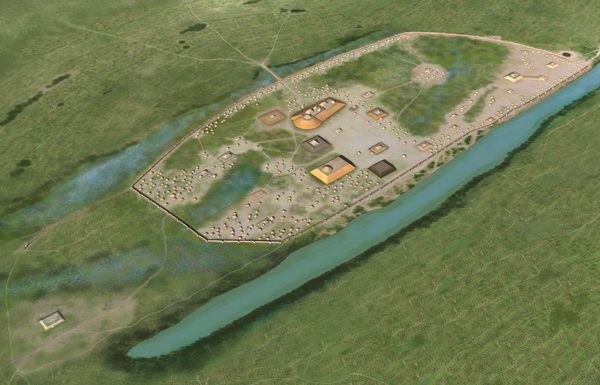
At the edge of the map sits Kincaid Mounds State Historic Site, 33 mi out.
Orange: Olmsted. Numbers: the best-known places, matching the list below. © OpenStreetMap contributors
Every one of them
10 places, all within 60 miles, make the list.
 1
 2
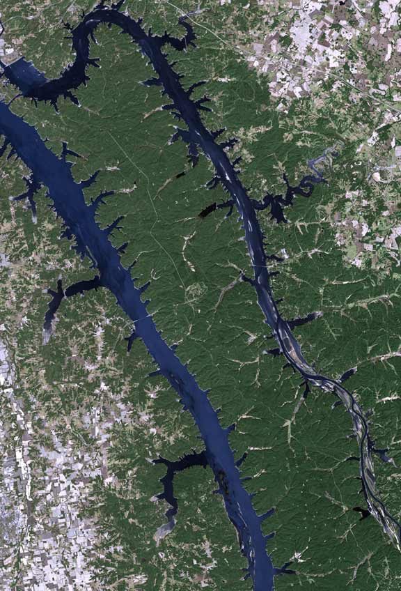
Land Between the Lakes National Recreation Area
Recreation area and former biosphere reserve (1991-2017) in the United States of America.
Shawnee National Forest
United States National Forest located in Southern Illinois.
 5
 6
Fort Defiance
Park and former military fortification in Cairo, Illinois, United States.
 8
 10
Ranked by how many people look them up, so the famous places lead and the local favorites follow.
Parks and trails in Olmsted → · Olmsted’s history →
Photo credits
Reelfoot Lake: User:JeremyA, CC BY-SA 2.5 · Land Between the Lakes National Recreation Area: http://www.terraprints.com, CC BY 2.5 · Shawnee National Forest: Daniel Schwen, CC BY-SA 4.0 · Garden of the Gods Wilderness: Daniel Schwen, CC BY-SA 4.0 · Kincaid Mounds State Historic Site: Herb Roe, CC BY-SA 4.0 · Cave-in-Rock State Park: Daniel Schwen, CC BY-SA 4.0 · Magnolia Manor: MuZemike, CC BY-SA 3.0 · Columbus-Belmont State Park: Knowledgeum at en.wikipedia, Public domain


