
Shawnee National Forest
Shawnee National Forest is a United States National Forest located in the Shawnee Hills of Southern Illinois, United States. It is 5 mi west of Eddyville. Its origins go back to 1939.

A national forest, 5 mi west of Eddyville
Plan where you’ll sleep
The nearest town with many places to stay is Harrisburg Township, 17 miles northeast. Where to stay ↓
Best months: Apr, May, Sep and Oct
April, May, September and October are the mild months, with highs of 68–81°. When to go ↓
Established in 1939
Shawnee National Forest dates from 1939. About ↓
Written from NOAA 1991–2020 normals, Overture places to stay, Census town figures, Wikidata and Wikipedia.
Highs and lows by month
Plan a visit to Shawnee National Forest around the weather below.
Shawnee National Forest
Shawnee National Forest is a United States National Forest located in the Shawnee Hills of Southern Illinois, United States. Administered by the United States Forest Service, it consists of approximately 498,615 acres (201,782 ha) of federally managed lands. In descending order of land area it is located in parts of Pope, Jackson, Union, Hardin, Alexander, Saline, Gallatin, Johnson, and Massac counties. Forest headquarters are located in Harrisburg, Illinois. There are local ranger district offices in Jonesboro and Vienna. Shawnee National Forest is also the single largest publicly owned body of land in Illinois.
- Type
- National forest
- Established
- 1939
- Area
- 416 square miles
- Wikipedia readers
- 21K a year
Bases for Shawnee National Forest
The closest lodging is in Eddyville (4) and Marion (18).
Eddyville
The closest town with somewhere to stay.
96 people
5 mi east of Shawnee National Forest
Compare 8 towns
| Town | From Shawnee National Forest | Drive | Places to stay | People | Typical home | Safety |
|---|---|---|---|---|---|---|
| Eddyville | 5 mi east | 5 min | 4 3 campgrounds · 1 RV park | 96 | — | — |
| Marion | 22 mi northwest | 35 min | 18 15 hotels · 2 motels · 1 campground | 17,148 | $158K | C− |
| Paducah | 30 mi south | 45 min | 41 35 hotels · 2 motels · 4 inns & B&Bs | 26,730 | $165K | C− |
| Harrisburg Township | 17 mi northeast | 25 min | 7 5 hotels · 2 lodges & cabins | 9,656 | $88K | — |
| Vienna | 14 mi southwest | 20 min | 4 2 hotels · 1 inn or B&B · 1 campground | 1,352 | $81K | C+ |
| Golconda | 14 mi southeast | 20 min | 4 1 hotel · 1 motel · 1 lodge or cabins · 1 campground | 618 | $69K | — |
| Harrisburg | 18 mi north | 25 min | 6 5 hotels · 1 lodge or cabins | 7,922 | $84K | A− |
| Metropolis | 24 mi south | 35 min | 10 5 hotels · 1 motel · 1 inn or B&B · 2 lodges & cabins · 1 campground | 5,727 | $86K | C+ |
Getting there
Nearest airports with airline service
Worth adding to a visit
These well-known places are within 69 miles.
 68 mi MuseumUSS LST-325
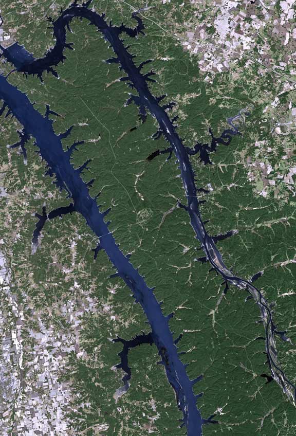 55 mi Park & preserveLand Between the Lakes National Recreation Area117 mi Park & preserveGarden of the Gods Wilderness
 228 mi CaveCave-in-Rock State Park
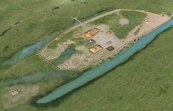 31 mi Ancient siteKincaid Mounds State Historic Site
 68 mi Stadium & arenaFord Center44 mi Ancient siteFort Defiance
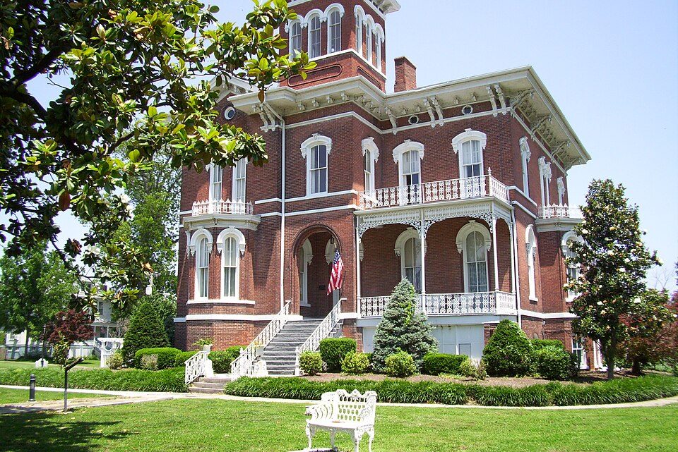 44 mi MuseumMagnolia Manor
Photo credits
USS LST-325: Wikideas1, CC0 · Land Between the Lakes National Recreation Area: http://www.terraprints.com, CC BY 2.5 · Garden of the Gods Wilderness: Daniel Schwen, CC BY-SA 4.0 · Cave-in-Rock State Park: Daniel Schwen, CC BY-SA 4.0 · Kincaid Mounds State Historic Site: Herb Roe, CC BY-SA 4.0 · Ford Center: Nyttend, Public domain · Magnolia Manor: MuZemike, CC BY-SA 3.0


Shawnee National Forest, answered
What town is Shawnee National Forest near?
Eddyville, IL, about 5 miles east.
When is the best time to visit Shawnee National Forest?
April, May, September and October, with highs of 68–81°.
What is the closest airport to Shawnee National Forest?
Veterans Airport of Southern Illinois (MWA), about 26 miles away. The nearest big hub is St. Louis Lambert (STL), about 127 miles.
Where should I stay near Shawnee National Forest?
Eddyville (5 mi, 4 places to stay), Marion (22 mi, 18 places to stay) and Paducah (30 mi, 41 places to stay).
From people who live in Eddyville
People in Eddyville have not posted tips yet; their Town Square is open.
Sources: National Park Service · ski areas © OpenSkiMap / OpenStreetMap contributors · Wikidata · Wikipedia readership · NOAA climate normals · U.S. Census.