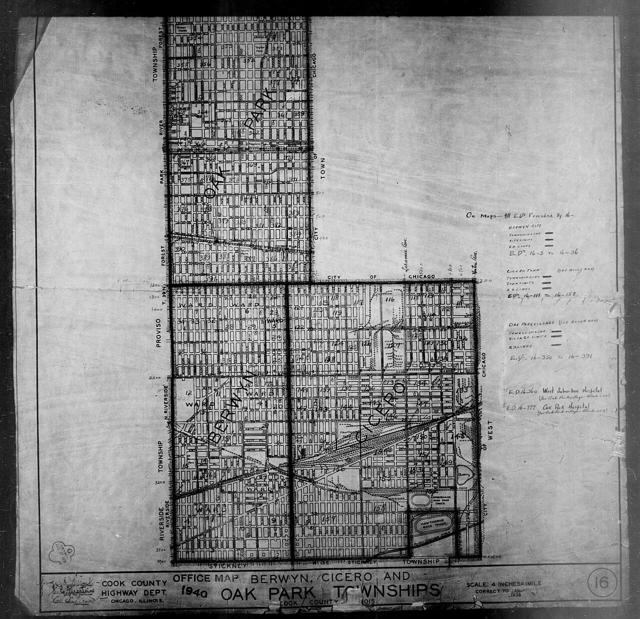
Every edition of the U.S. Geological Survey’s map of Oak Park Township. Tap a year, or press play to watch the town change.
1891Riverside sheet · 1:62,500
U.S. Geological Survey historical topographic maps (public domain), via Esri’s collection of the scans. The red ring marks the center of Oak Park Township.
On the National Register
14 listings protect 3,525 historic buildings
The country’s official list of buildings and places worth saving. 3 are National Historic Landmarks, the highest tier.
places listed
14
National Historic Landmarks
3
none yet
historic buildings protected
3,525
each building in a district counts
National Park Service, National Register of Historic Places. Photos from Wikimedia Commons, credited on each place’s page.
In 1835, Joseph and Betty Kettlestrings, immigrants from Yorkshire, England, staked out a farm and built a house near Lake Street and Harlem Avenue, west of Chicago. Once their children were born, they moved to Chicago for the schools in 1843, and moved back again in 1855 to build a more substantial home a bit east on their quarter section of land. More farmers and settlers had entered the area. Their land was called by several names locally, including Oak Ridge, Harlem, and Kettlestrings Grove. When the first post office was set up, it could not use the name Oak Ridge, as another post office was using that name in Illinois, so the post office chose Oak Park, and that name became the name for the settlement as it grew, and for the town when it incorporated in 1902.
Nothing in the archives for these yearsWeddings on Main Street, storms, parades, school pictures, the old store. If it’s in your family album, it belongs here.
In 1835, according to Wikidata and Wikipedia’s history of the town. Oak Park Township’s post office opened in 1846, and the census of 1910 counted 19,444 people here.
Founding dates: Wikidata, Wikipedia, the U.S. post office records of Blevins & Helbock (CC0) and the Census. Homes by year built: Census ACS 2020–24. National Register of Historic Places: National Park Service (list of May 22, 2026). Old photos, postcards and papers: Wikimedia Commons, the Library of Congress and other public archives, credited on each item’s page. Maps: U.S. Geological Survey historical topographic maps (via Esri) and Sanborn fire-insurance maps (Library of Congress). History text and census tables: Wikipedia (CC BY-SA 4.0). Places that used to be: USGS Geographic Names Information System (2021). How TownRatings grades history →
From Wikimedia Commons (8), the Library of Congress (7), Wikidata (2), Wikipedia, U.S. Geological Survey historical maps and U.S. Census counts (via Wikipedia). Archive images are copied here with their credits and licenses, shown on each photo’s page. Refreshed monthly.




 1880
 1880
 1886
 1886
 1886
 1890
 1905
 1910
 1910
 1910
 1910