Shawnee National Forest
United States National Forest located in Southern Illinois.
Each edition grades its towns against each other only.

A day out from Murphysboro Township leads to Fort de Chartres, 52 mi away. Nothing is mapped inside Murphysboro Township, but 2 places to visit are within 40 miles. The mix takes in a national forest and a museum.
United States National Forest located in Southern Illinois.
The towns around it, and where to stay →
Shawnee National Forest, 39 mi away, is the farthest on the map.
Orange: Murphysboro Township. Numbers: the best-known places, matching the list below. © OpenStreetMap contributors
You will find all 7 within 60 miles.
United States National Forest located in Southern Illinois.
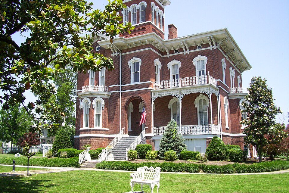
Place in Illinois on the National Register of historic Places.
Park and former military fortification in Cairo, Illinois, United States.
Park in the United States of America.
Ranked by how many people look them up, so the famous places lead and the local favorites follow.
Parks and trails in Murphysboro Township → · Murphysboro Township’s history →
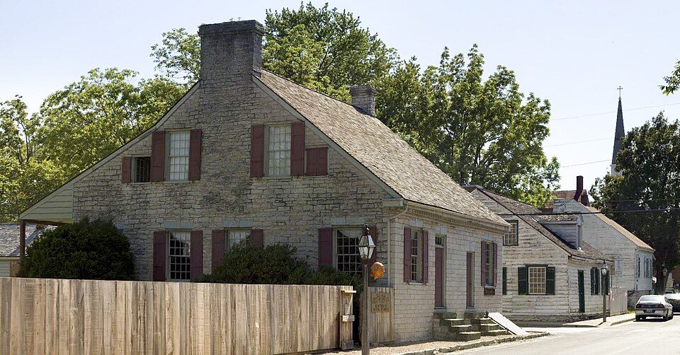
Shawnee National Forest: Daniel Schwen, CC BY-SA 4.0 · Fort de Chartres: Kbh3rd, CC BY 3.0 · Garden of the Gods Wilderness: Daniel Schwen, CC BY-SA 4.0 · Magnolia Manor: MuZemike, CC BY-SA 3.0 · Ste. Genevieve National Historical Park: Andrew Balet, CC BY 3.0 · Charter Oak Schoolhouse: Nyttend, Public domain
 2
 5
 6
 7


