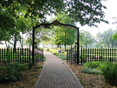
On its age, its old homes and the National Register, Moline Township is more historic than 97% of U.S. towns, #16 of 768 in Illinois. All 3 inputs are above most U.S. towns; its share of homes from before 1940 ranks highest and its age lowest.
A+
HistoryA character grade: shown, never part of Moline Township’s overall grade.
Few Illinois towns list much on the Register (a typical Illinois town has 0.5 per 10,000 residents, the U.S. 2.4), so Moline Township’s 46.1 sits above most of its state (90% of Illinois towns have fewer) while its 104 historic buildings outnumber those of 90% of U.S. towns.
How sure. Graded on any two of the three inputs instead, the letter would range from A to A+. The pre-1940 share is a Census survey estimate (±3.3 points). Two sources give 1843.
Founding year: Wikipedia (other dates in Quick answers). Homes: Census ACS 2020–24. National Register: National Park Service, May 2026 list; each listing counted once (boundary changes and added documentation belong to their listing), and a historic district counts its contributing buildings. How TownRatings grades history →
What stands out about Moline Township’s past
Read from the archive, the National Register and the record. The page puts what stands out first.
In 1837, David B. Sears and a group of associates built a 600-foot (180 m) stone-and-brush dam across Sylvan Slough, thereby connecting the southern bank of the Mississippi River to what is today called Arsenal Island. The dam not only served as an access road between the island's settlements and the mainland, but it provided water power for a mill which Sears built to saw wood, grind corn, and card wool. The water power generated by the dam attracted many industrialists. Over the next seven years, a number of factories sprouted up along the shoreline. A factory town was platted in 1843 on the Illinois shore under the working name of "Rock Island Mills". The name did not stick. When Charles Atkinson, one of the major landowners in the area, was offered the choice of naming the town Moline ("City of Mills", from the French moulin, as suggested by a local surveyor P.H. Olgilvie) or Hesper…
Nothing in the archives for these yearsWeddings on Main Street, storms, parades, school pictures, the old store. If it’s in your family album, it belongs here.
National Park Service, National Register of Historic Places. Photos from Wikimedia Commons, credited on each place’s page.
From the old history books
What they wrote about Moline Township in 1885
Passages that mention Moline Township, cut from the printed page as they were published.
Portrait and biographical album of Rock Island County, Illinois1885 · page 532Read the page →
Read the text
once more returned to Indiana. Remaining in the latter State for a few months, he came again to this county on horseback and located on his land in Moline Township, on which he has resided until the present time. He subsequently added to his original purchase until he at present is the proprietor of 163 acres of land in Moline Township, which is in an advanced state of cultivation.
Text read by machine from the scan; it may contain errors.
Portrait and biographical album of Rock Island County, Illinois1885 · page 376Read the page →
Read the text
three years, after which time he began to take contracts himself for building bridges in different sections of country. During this time he built the bridge over Rock River between South Moline Township and Coal Valley, in company with Elisha P. Reynolds, who is mentioned elsewhere in this work. He was in company with Mr. R. for about two years.
Text read by machine from the scan; it may contain errors.
Scans and text from the Internet Archive. Books published in 1930 or earlier, which are in the public domain.
Timeline
Moline Township, 1840 to 1970
Woven from the archive, old maps, post office records, the National Register and the people born here.
Every edition of the U.S. Geological Survey’s map of Moline Township. Tap a year, or press play to watch the town change.
1970Davenport East sheet · 1:24,000
U.S. Geological Survey historical topographic maps (public domain), via Esri’s collection of the scans. The red ring marks the center of Moline Township.
Then & now
Stand where they stood
No then-and-now pairs yet. Take a photo from the same spot as an old one and they appear here side by side.
Retake this viewEarly moline about 1840, c. 1840
Find the spot, match the angle, and add your photo. It becomes the first then-and-now pair on Moline Township’s page.
In 1843, according to Wikipedia’s history of the town. Moline Township’s post office opened in 1844, and the census of 1840 counted 894 people here.
How does Moline Township rank for history?
Moline Township is more historic than 97% of U.S. towns, #16 of 768 in Illinois. The History grade combines the town’s founding era, the share of homes built before 1940 and its National Register listings. It’s a character grade, so it isn’t part of the overall grade. How it works.
What is on the National Register in Moline Township?
6 listings: 1 site. 104 historic buildings in all.
How old are the homes in Moline Township?
46% of Moline Township’s homes were built before 1940 (Census estimate, ±3.3 points), against a typical 11% for an Illinois town; the median home was built in 1944.
Founding dates: Wikidata, Wikipedia, the U.S. post office records of Blevins & Helbock (CC0) and the Census. Homes by year built: Census ACS 2020–24. National Register of Historic Places: National Park Service (list of May 22, 2026). Old photos, postcards and papers: Wikimedia Commons, the Library of Congress and other public archives, credited on each item’s page. Maps: U.S. Geological Survey historical topographic maps (via Esri) and Sanborn fire-insurance maps (Library of Congress). History text and census tables: Wikipedia (CC BY-SA 4.0). Places that used to be: USGS Geographic Names Information System (2021).
From Wikimedia Commons (10), the Library of Congress (2), the National Register of Historic Places (1), Wikipedia, U.S. Geological Survey historical maps, U.S. Census counts (via Wikipedia), the USGS Geographic Names Information System and old county and town histories (Internet Archive). Archive images are copied here with their credits and licenses, shown on each photo’s page. Refreshed monthly.

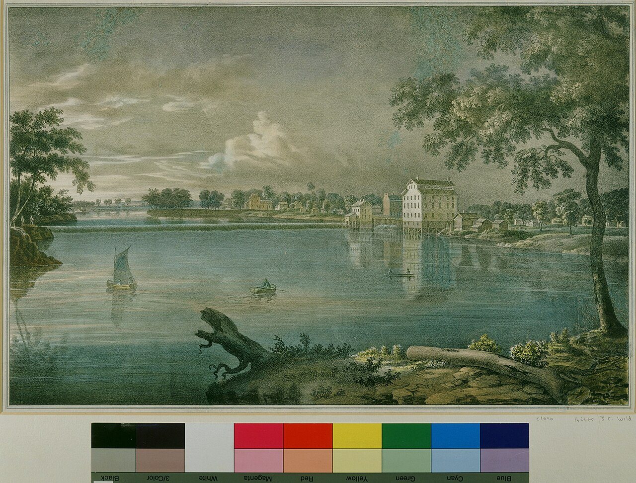


 c. 1840
 c. 1842
 1844
 1860
 1860
 1869
 1873
 1874
 1889
 1906
 1907
 1907