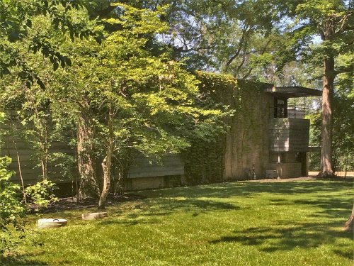
Mettawa dates to 1960, and 16% of its homes were built before 1940
2 places in town are on the National Register, among them the Adlai E. Stevenson II Farm, a National Historic Landmark, and a historic district with 2 buildings. 2 places in town are on the National Register, among them the Adlai E. Stevenson II Farm, a National Historic Landmark, and a historic district with 2 buildings. Below: maps from 1900 on and the census since 1960.
The name of the town derived from Potawatomi chief Mettaywah, who lived in the area before signing the 1833 Treaty of Chicago and being displaced to Kansas. The traveler Colbee reported visiting the chief's village near the Des Plaines River and eating pork, cakes fried in pork fat, and a corn and bean dish. Many Potawatomi returned to Illinois annually until the end of the nineteenth century to visit their burial grounds.
Founding dates: Wikidata, Wikipedia, the U.S. post office records of Blevins & Helbock (CC0) and the Census. Homes by year built: Census ACS 2020–24. National Register of Historic Places: National Park Service (list of May 22, 2026). Old photos, postcards and papers: Wikimedia Commons, the Library of Congress and other public archives, credited on each item’s page. Maps: U.S. Geological Survey historical topographic maps (via Esri) and Sanborn fire-insurance maps (Library of Congress). History text and census tables: Wikipedia (CC BY-SA 4.0). Places that used to be: USGS Geographic Names Information System (2021). How TownRatings grades history →
From the National Register of Historic Places (2), Wikipedia, U.S. Geological Survey historical maps, U.S. Census counts (via Wikipedia) and the USGS Geographic Names Information System. Archive images are copied here with their credits and licenses, shown on each photo’s page. Refreshed monthly.

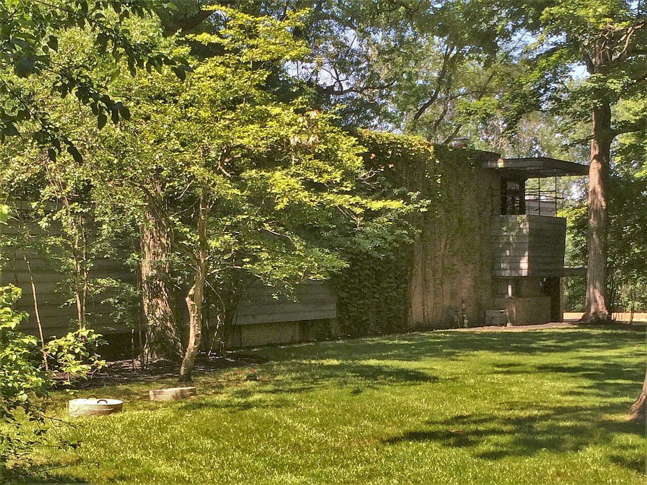


 ★ Landmark