Dawson Township was originally named Lee Township, but changed to Padua Township on May 17, 1858, and then to Dawson on an unknown date. Dawson Township was named for John Wells Dawson, a pioneer settler.
Dawson Township. — This township was named in honor of John Wells Dawson, one of the two early settlers of Blooming Grove, who made his home for a time in 1826 in a site that is a part of the area of the township. The Dawson home was on the land afterwards occupied by John Wirt, near where the Old Settlers picnic was held for many years.
Text read by machine from the scan; it may contain errors.
Scans and text from the Internet Archive. Books published in 1930 or earlier, which are in the public domain.
Timeline
Dawson Township, 1852 to 1951
Woven from the archive, old maps, post office records, the National Register and the people born here.
Every edition of the U.S. Geological Survey’s map of Dawson Township. Tap a year, or press play to watch the town change.
1951Le Roy sheet · 1:62,500
U.S. Geological Survey historical topographic maps (public domain), via Esri’s collection of the scans. The red ring marks the center of Dawson Township.
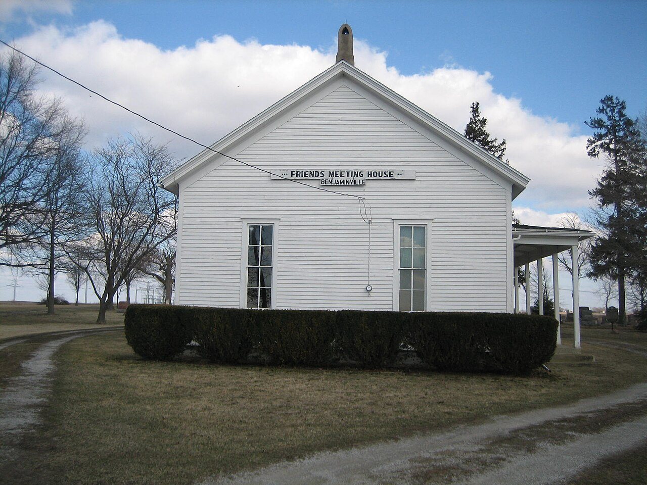
On the National Register
1 historic place in Dawson Township
The country’s official list of buildings and places worth saving.
Founding dates: Wikidata, Wikipedia, the U.S. post office records of Blevins & Helbock (CC0) and the Census. Homes by year built: Census ACS 2020–24. National Register of Historic Places: National Park Service (list of May 22, 2026). Old photos, postcards and papers: Wikimedia Commons, the Library of Congress and other public archives, credited on each item’s page. Maps: U.S. Geological Survey historical topographic maps (via Esri) and Sanborn fire-insurance maps (Library of Congress). History text and census tables: Wikipedia (CC BY-SA 4.0). Places that used to be: USGS Geographic Names Information System (2021). How TownRatings grades history →
From the National Register of Historic Places (1), Wikipedia, U.S. Geological Survey historical maps, the US Post Offices dataset (Blevins & Helbock), the USGS Geographic Names Information System and old county and town histories (Internet Archive). Archive images are copied here with their credits and licenses, shown on each photo’s page. Refreshed monthly.