Nothing in the archives for these yearsWeddings on Main Street, storms, parades, school pictures, the old store. If it’s in your family album, it belongs here.
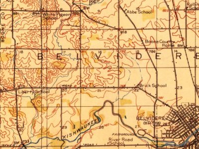
Every edition of the U.S. Geological Survey’s map of Belvidere Township. Tap a year, or press play to watch the town change.
1918Belvidere sheet · 1:62,500
U.S. Geological Survey historical topographic maps (public domain), via Esri’s collection of the scans. The red ring marks the center of Belvidere Township.
On the National Register
6 listings protect 79 historic buildings
The country’s official list of buildings and places worth saving.
places listed
6
National Historic Landmarks
0
none yet
historic buildings protected
79
each building in a district counts
National Park Service, National Register of Historic Places. Photos from Wikimedia Commons, credited on each place’s page.
Before the arrival of the mostly Anglo-Americans in the 19th century, this area was long occupied by the Illinois Confederation, a loose grouping of up to 12 to 15 Native American tribes. The main tribes were the Cahokia, Kaskaskia, Michigamea, Peoria, and Tamaroa. After trading, warfare and other encounters with French traders, who entered this area before the Anglo-Americans, their numbers declined. In large part due to the high mortality from new infectious diseases, which adversely affected Native Americans across the continent.
Founding dates: Wikidata, Wikipedia, the U.S. post office records of Blevins & Helbock (CC0) and the Census. Homes by year built: Census ACS 2020–24. National Register of Historic Places: National Park Service (list of May 22, 2026). Old photos, postcards and papers: Wikimedia Commons, the Library of Congress and other public archives, credited on each item’s page. Maps: U.S. Geological Survey historical topographic maps (via Esri) and Sanborn fire-insurance maps (Library of Congress). History text and census tables: Wikipedia (CC BY-SA 4.0). Places that used to be: USGS Geographic Names Information System (2021). How TownRatings grades history →
From Wikimedia Commons (16), Wikidata (2), Wikipedia, U.S. Geological Survey historical maps, U.S. Census counts (via Wikipedia), the US Post Offices dataset (Blevins & Helbock) and the USGS Geographic Names Information System. Archive images are copied here with their credits and licenses, shown on each photo’s page. Refreshed monthly.


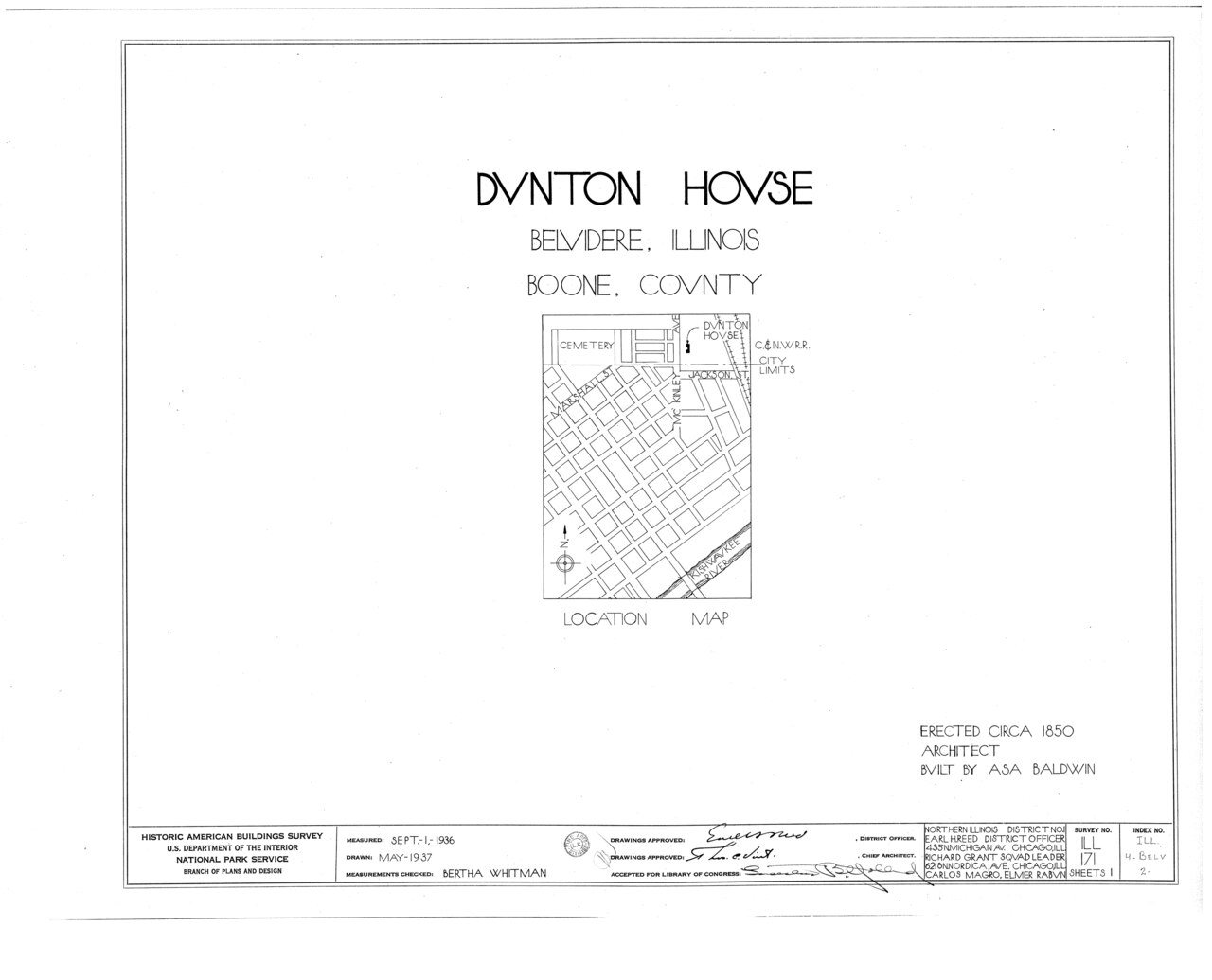
 1907
 1907
 1932
 1933
 1933
 1933
 1933
 1933
 1933
 1933
 1933
 1933
 1933
 1933
 1933
 1933