Mason City dates to 1850, and 30% of its homes were built before 1940
More historic than 84% of U.S. towns · #39 of 140 in Iowa. What drives it
39 places in town are on the National Register, among them five historic districts with 351 buildings between them. Below: 6 old photos and papers, maps from 1883 on, and the census since 1870.
Founding year: Wikipedia. First post office: 1855.The full story ↓
History grade
What drives Mason City’s History grade
On its age, its old homes and the National Register, Mason City is more historic than 84% of U.S. towns, #39 of 140 in Iowa. Its National Register listings hold the grade up; its age pulls it down.
A−
HistoryA character grade: shown, never part of Mason City’s overall grade.
Iowa towns list more on the Register than most of the country (a typical Iowa town has 9.1 per 10,000 residents, the U.S. 2.4), so Mason City’s 147 sits above most of its state (89% of Iowa towns have fewer) while its 398 historic buildings outnumber those of 96% of U.S. towns.
How sure. Graded on any two of the three inputs instead, the letter would range from B to A+. The pre-1940 share is a Census survey estimate (±3.1 points). Two sources give 1850.
Founding year: Wikipedia (other dates in Quick answers). Homes: Census ACS 2020–24. National Register: National Park Service, May 2026 list; each listing counted once (boundary changes and added documentation belong to their listing), and a historic district counts its contributing buildings. How TownRatings grades history →
What stands out about Mason City’s past
Read from the archive, the National Register and the record. The page puts what stands out first.
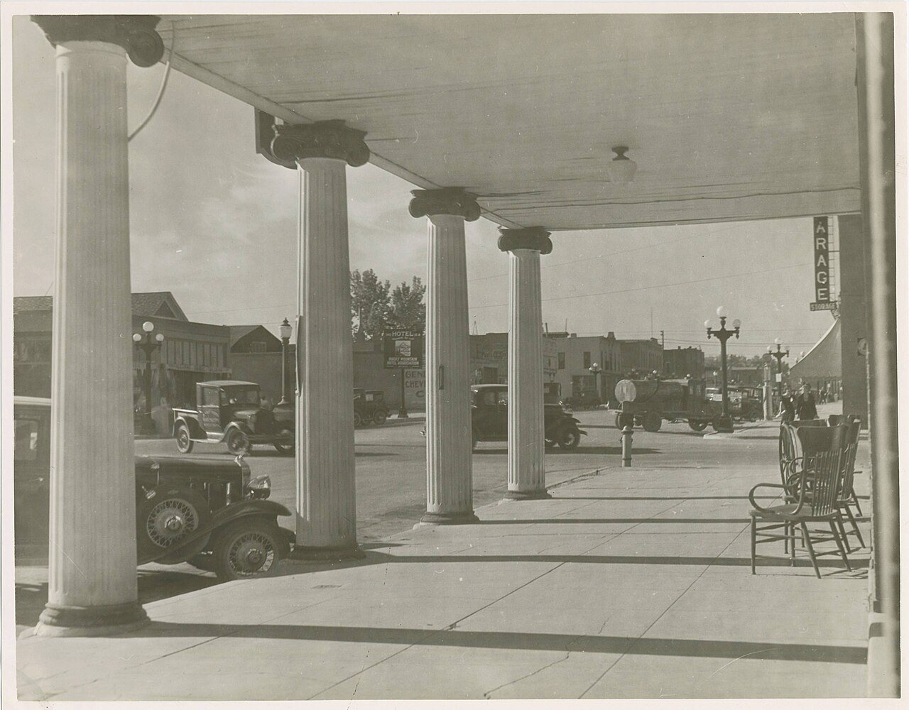
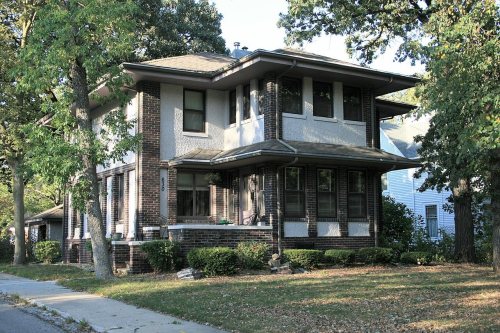
National Park Service, National Register of Historic Places. Photos from Wikimedia Commons, credited on each place’s page.
Every building
Mason City, building by building, 1883–1918
Fire insurance maps drew every building, what it was made of and what it was used for, so insurers could price the risk of fire. Pick a year, then a sheet.
The land on which Mason City now stands was previously a grove of trees surrounded by the expansive and gently rolling tallgrass prairie of north-central Iowa. This wooded area was near the limestone outcroppings that line the confluence of Lime Creek (now known as the Winnebago River) and Willow Creek. In the years immediately before the east-to-west expansion of the United States, this land was inhabited by the Ioway, Winnebago, Meskwaki (Fox), Sauk, and Dakota Native American tribes. The first White settlers arrived in the area in 1853; they were John Long, Joseph Hewitt, and George Brentner, who hailed from La Salle, Illinois. Long was a member of a Free Masonic Order, and they initially named the dense wood stand as Masonic Grove. The next year, in 1854, more settlers involved in Free Masonic groups arrived, and platted a town, first known as Shibboleth and later Masonville. Coinci…
Passages that mention Mason City, cut from the printed page as they were published.
History of Cerro Gordo County, Iowa. From materials in the public archives, the Iowa Historical Society's collection, the newspapers and data of personal interviews1910 · page 415Read the page →
Read the text
Brice came to Mason City and in the same year he secured franchises for and projected the construction of the electric interurban line between Mason City and Clear Lake and the street car line in Mason City, a distance of eighteen and a half miles. The line was completed on the 3rd of July, 1897. and is one of the best interurban roads in the state. Mr. Brice is virtually the entire owner of the line. In August, 1898, he organized the Iowa & Minnesota
Text read by machine from the scan; it may contain errors.
History of Cerro Gordo County, Iowa. From materials in the public archives, the Iowa Historical Society's collection, the newspapers and data of personal interviews1910 · page 497Read the page →
Read the text
From 1869 until 1872, inclusive, Mr. Vermilya was engaged in the lumber business at Mason City, buying his lumber principally in Minneapolis, Minnesota, although he bought some in Oshkosh and other Wisconsin towns, and hauling a large part of it from Austin, the nearest railroad point, to Mason City. There being no lumber yard west of this place, a good deal of his lumber was sold in Hancock and Winnebago counties.
Text read by machine from the scan; it may contain errors.
Scans and text from the Internet Archive. Books published in 1930 or earlier, which are in the public domain.
Timeline
Mason City, 1850 to 1992
Woven from the archive, old maps, post office records, the National Register and the people born here.
Nothing in the archives for these yearsWeddings on Main Street, storms, parades, school pictures, the old store. If it’s in your family album, it belongs here.
In 1850, according to Wikipedia’s history of the town. Mason City’s post office opened in 1855, and the census of 1870 counted 1,183 people here.
How does Mason City rank for history?
Mason City is more historic than 84% of U.S. towns, #39 of 140 in Iowa. The History grade combines the town’s founding era, the share of homes built before 1940 and its National Register listings. It’s a character grade, so it isn’t part of the overall grade. How it works.
What is on the National Register in Mason City?
39 listings: 30 buildings, among them the City National Bank Building (listed 1972, the first), 5 historic districts with 351 contributing buildings, and 4 structures. 398 historic buildings in all.
How old are the homes in Mason City?
30% of Mason City’s homes were built before 1940 (Census estimate, ±3.1 points), against a typical 22% for an Iowa town; the median home was built in 1956.
Founding dates: Wikidata, Wikipedia, the U.S. post office records of Blevins & Helbock (CC0) and the Census. Homes by year built: Census ACS 2020–24. National Register of Historic Places: National Park Service (list of May 22, 2026). Old photos, postcards and papers: Wikimedia Commons, the Library of Congress and other public archives, credited on each item’s page. Maps: U.S. Geological Survey historical topographic maps (via Esri) and Sanborn fire-insurance maps (Library of Congress). History text and census tables: Wikipedia (CC BY-SA 4.0). Places that used to be: USGS Geographic Names Information System (2021).
From Wikimedia Commons (7), Wikidata (7), the National Register of Historic Places (39), Wikipedia, Wikidata and Wikipedia for famous people, U.S. Geological Survey historical maps, U.S. Census counts (via Wikipedia), the US Post Offices dataset (Blevins & Helbock), the USGS Geographic Names Information System, Sanborn fire insurance maps (Library of Congress) and old county and town histories (Internet Archive). Archive images are copied here with their credits and licenses, shown on each photo’s page. Refreshed monthly.








 1910
 1910
 1910
 Date?
 2018


