Marquette dates to 1874, and 29% of its homes were built before 1940
1 place in town is on the National Register, among them a historic district. Below: 1 old photo or paper, maps from 1929 on, and the census since 1880.
Marquette is located directly across from Prairie du Chien, Wisconsin, and the two cities are connected by U.S. Route 18, which crosses the river on the Marquette-Joliet Bridge. Effigy Mounds National Monument and the Yellow River State Forest are a few miles to the north. The city of McGregor is located just to the south. Marquette itself was originally incorporated as North McGregor in 1874, and it served as a railroad terminus for its southern neighbor.
Passages that mention Marquette, cut from the printed page as they were published.
History of Clayton County, together with sketches of its cities, villages and townships ... biographies of representative citizens1882 · page 91Read the page →
Read the text
Marquette and his party discovered an Indian trail on the west¬ ern shore about a hundred miles below the mouth of the Wiscon¬ sin, and determined to trace it and form some acquaintance with the tribes of that region. After a walk of several miles, they came in sight of an Indian town, or village. Commending them¬ selves to God, they made themselves known by a loud cry. Four old men met them and conducted them into the village. They were presented to the council, and Marquette preached to them of
Text read by machine from the scan; it may contain errors.
Scans and text from the Internet Archive. Books published in 1930 or earlier, which are in the public domain.
Timeline
Marquette, 1866 to 1949
Woven from the archive, old maps, post office records, the National Register and the people born here.
Nothing in the archives for these yearsWeddings on Main Street, storms, parades, school pictures, the old store. If it’s in your family album, it belongs here.
Founding dates: Wikidata, Wikipedia, the U.S. post office records of Blevins & Helbock (CC0) and the Census. Homes by year built: Census ACS 2020–24. National Register of Historic Places: National Park Service (list of May 22, 2026). Old photos, postcards and papers: Wikimedia Commons, the Library of Congress and other public archives, credited on each item’s page. Maps: U.S. Geological Survey historical topographic maps (via Esri) and Sanborn fire-insurance maps (Library of Congress). History text and census tables: Wikipedia (CC BY-SA 4.0). Places that used to be: USGS Geographic Names Information System (2021). How TownRatings grades history →
From Wikimedia Commons (6), the National Register of Historic Places (1), Wikipedia, U.S. Geological Survey historical maps, U.S. Census counts (via Wikipedia), the US Post Offices dataset (Blevins & Helbock), the USGS Geographic Names Information System and old county and town histories (Internet Archive). Archive images are copied here with their credits and licenses, shown on each photo’s page. Refreshed monthly.


 2015
 2005
 2004
 2004
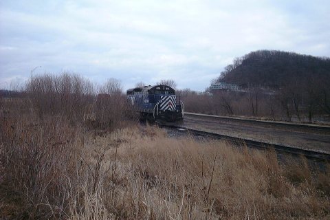 2002


