126 years in pictures
The archive holds 6 old photos and papers going back to 1941.
3 places on the National Register of Historic Places.
- 1900Wahiawa is settled
Each edition grades its towns against each other only.

Population 17,996: a town settled in 1900.
Wahiawa’s best subject grade is an A for walkability; its weakest is a C− for hazard risk. On walkability, just 9 of Hawaii’s 125 towns do better. Wahiawa’s January low is 61°F, against 64°F in Hawaii’s towns and 22°F across U.S. towns. 16% of the land in Wahiawa is conserved, against 12% in Hawaii’s towns and 4.3% across U.S. towns. Wahiawa has 3 places on the National Register of Historic Places, among them Kukaniloko Birth Site and Kukaniloko Birth Site (Boundary Increase). Wahiawa has no overall grade: it has no figures for safety and schools, and an overall grade needs at least three of the four big subjects (cost of living, safety, schools and health).
Where Wahiawa beats most towns.
Where Wahiawa’s working residents go each day. Line width shows the share.
Census LEHD 2023
Each subject compared with towns across the country (schools within Hawaii), ordered by how far Wahiawa is from typical.
Wahiawa has no overall grade: it has no figures for safety and schools, and an overall grade needs at least three of the four big subjects (cost of living, safety, schools and health).
How TownRatings grades towns →
The archive holds 6 old photos and papers going back to 1941.
3 places on the National Register of Historic Places.
Museums, parks, gardens and other places to visit around Wahiawa. Close and well known come first.
Big draw10 mi MuseumUSS Missouri
10 mi MuseumUSS Arizona Memorial
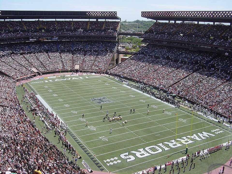
11 mi Stadium & arenaAloha Stadium
21 mi MountainDiamond Head
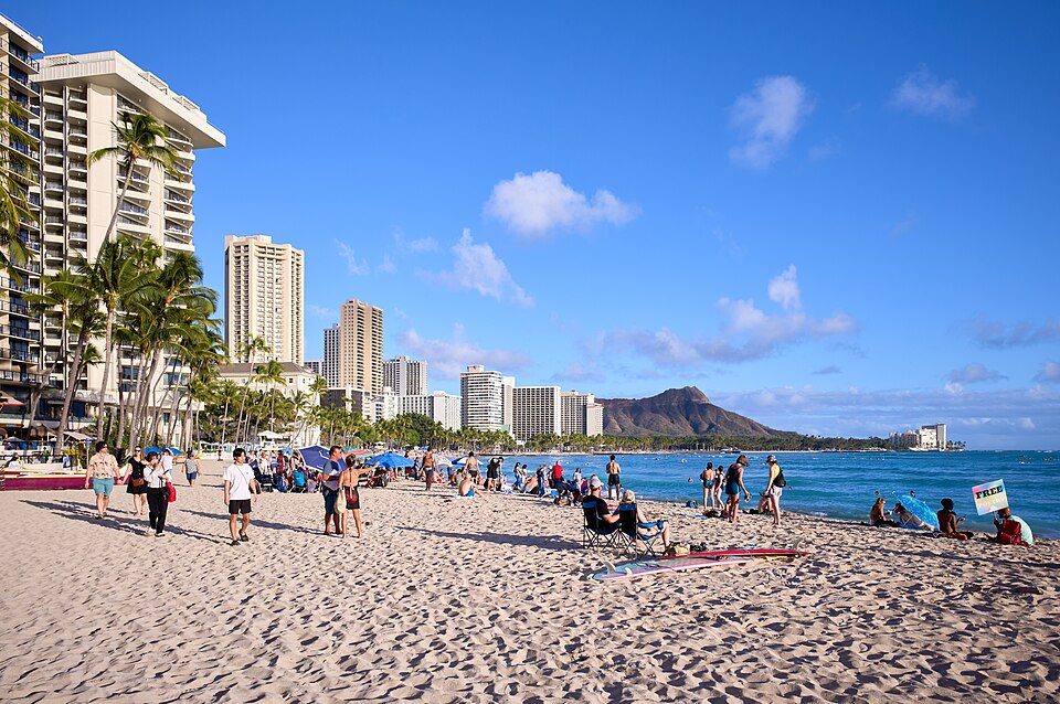
20 mi BeachWaikīkī
10 mi MuseumUSS BowfinUSS Missouri: Camera Operator: EM2 KENNETH D. MEHL (Released to Public), Public domain · USS Arizona Memorial: DoD photo by: PH3(AW/SW) JAYME PASTORIC, USN, Public domain · Aloha Stadium: This photo was taken and originally uploaded by Bobak to English Wikipedia. Uplo, CC BY 3.0 · Diamond Head: Unknown, CC BY-SA 3.0 · Waikīkī: Frank Schulenburg, CC BY-SA 4.0 · USS Bowfin: Max Smith, Public domain
Wahiawa is unincorporated, so Honolulu County and regional agencies provide most services.
EPA SDWIS (Oct 9, 2026) · HIFLD + EIA-861 2025 · Census 2020 ZCTAs · NCES 2024–25 · registration: vote.gov, updated Nov 18, 2024.
Ordered by what stands out in Wahiawa.
The top destinations are Urban Honolulu (40%), Kapolei (4%) and Pearl City (4%). Wahiawa’s typical journey to work comes in at 32 minutes. Half the trips to work are shorter than 14 miles. Among workers here, 6.1% work remotely from home.
| Wahiawa | Hawaii towns | U.S. towns | |
|---|---|---|---|
| Average trip to work | 32 minutes | 28 minutes | 25 minutes |
| Work from home | 6.1% | 8.2% | 11% |
| Median household income | $87,000 | $100,000 | $80,000 |
| Working residents who work in town | 6.2% | 3.6% | 8% |
Census LEHD 2023 · ACS
The Hawaii Department of Education school district runs its public schools. Below: Two of its 7 schools, each with why it was picked. Public school enrollment in Wahiawa: 1,233 students across 4 schools.
| School | Level | Students | Letter |
|---|---|---|---|
| Wahiawa Elementary SchoolLargest public elementary schoolGrades PK–5 | Grades PK–5 | 429 | B− |
| Leilehua High SchoolLargest public high schoolGrades 9–12 | Grades 9–12 | 1,521 | B− |
NCES · EDFacts
Federal disaster aid has reached households in Wahiawa after 3 declared disasters, most recently in 2026. On expected storm and flood damage, Wahiawa sits above 78% of U.S. communities. Expected losses in Wahiawa break down as 71% from inland flooding and 19% from earthquakes.
FEMA disaster declarations and aid · FEMA National Risk Index · OpenFEMA
Trails run 0.6 miles in 4 parks and preserves. Wahiawa’s trail network density stands at 0.2 miles per square mile. Parks and preserves here: 4, covering 37 acres.
| Biggest places to walk | Trails | Acres |
|---|---|---|
| 1. Wahiawa Botanical Garden | 0.5 mi | 13 |
| 2. Wahiawa District Park | — | 14 |
| 3. Lake Wilson Freshwater Park | — | 8 |
Trails & parks © OpenStreetMap contributors · Conserved land: USGS PAD-US
In Wahiawa, the peak summer temperature is 82°F.
NOAA U.S. Climate Normals, 1991–2020
Wahiawa: half of adults sleep under 7 hours. Against the Hawaii average, Wahiawa comes out ahead on 1 CDC measures out of 32, and behind on 11. Among adults here, 14% have diabetes and 23% worry about having enough food. Only 7 of the 93 Hawaii towns we compare have a higher share of adults who get no exercise outside work than Wahiawa.
| Wahiawa | Hawaii towns | U.S. towns | |
|---|---|---|---|
| Sleep under 7 hours (CDC PLACES) | 50% | 45% | 36% |
| Diabetes (CDC PLACES) | 14% | 12% | 12% |
| Food insecurity (CDC PLACES) | 23% | 18% | 14% |
| Fair or poor health (CDC PLACES) | 22% | 18% | 19% |
| What stands out | Wahiawa | HI |
|---|---|---|
| Fewer adults who have had cancer | 6% | 6.7% |
| More adults facing a utility shut-off | 7.7% | 5.8% |
CDC PLACES 2025 · modeled estimates for adults · CMS · HRSA
For households in Wahiawa, the share who are owner-occupiers is 54%. In the year to September 2026, typical home values climbed 3.9%. Its median rent is $1,546 a month.
| Wahiawa | Hawaii towns | U.S. towns | |
|---|---|---|---|
| Households that own their home | 54% | 71% | 73% |
| Median rent | $1,546 a month | $2,017 a month | $1,185 a month |
Census ACS, 2020–24 · Zillow Home Value Index · Redfin Data Center
7 within 15 miles of the center of Wahiawa
About 4 of every 100 Wahiawa residents are enrolled in college, against 6 across Hawaii.
15 notable people were born in Wahiawa.


Census-designated place in Hawaii, United States
Wahiawā (Hawaiian pronunciation: [wəhijəˈvaː] ) is a census-designated place (CDP) in Honolulu County, Hawaii, United States, on the island of Oahu. It is in the Wahiawā District, on the plateau or "central valley" between the two volcanic mountains that bookend the island. In Hawaiian, wahi a wā means "place of the wa people". The population was 18,658 at the 2020 census. Lakes and reservoirs are rare in Hawaii, and Wahiawā is unique in being surrounded on three sides by Lake Wilson (also known as Wahiawā Reservoir or Kaukonahua). The town must be reached by either of two bridges on Kamehameha Highway (State Rte. 80) across the reservoir's narrow north and south arms. Outside of the reserv…
From Wikipedia, licensed CC BY-SA 4.0 · facts via Wikidata (CC0)
3 towns share a border with Wahiawa.
| Town | HI rank | Overall | Cost | Safety | Schools | Health |
|---|---|---|---|---|---|---|
| Wahiawa | — | — | C | — | — | B− |
| Whitmore Village | — | — | C | — | — | B+ |
| Schofield Barracks | — | — | D− | — | — | A |
| Wheeler AFB | — | — | D− | — | — | A |
Wheeler AFB has fewer than 2,500 residents, so it gets subject grades but no overall grade. Wahiawa, Whitmore Village, Schofield Barracks and Wheeler AFB report no FBI crime data of their own. Wahiawa, Whitmore Village and Schofield Barracks aren’t graded (fewer than 1,000 residents, or not enough data). Compare Wahiawa with a neighbor →
Short answers, built from the data on this page.
Wahiawa has no overall grade: it has no figures for safety and schools, and an overall grade needs at least three of the four big subjects (cost of living, safety, schools and health).
That is 8.1 years of the area's median household income ($106,195 across the Urban Honolulu, HI metro area). Cost of living, which also weighs rents, property taxes and how many households pay 30% or more of their income for housing, grades C.
15 notable people were born here, including Victoria Lee and Cathy Song.